Kelseyville, California
Looking for the best photography in Kelseyville? We've got you covered with the top trails, trips, hiking, backpacking, camping and more around Kelseyville. The detailed guides, photos, and reviews are all submitted by the Outbound community.
Top Photography Spots in and near Kelseyville
-
Sonoma County, California
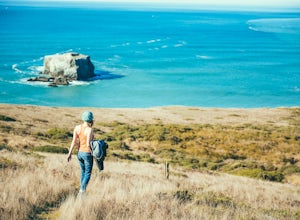
Kortum Trail
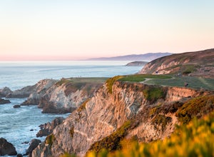
9.27 mi / 968 ft gainThe Kortum Trail in the Sonoma Coast State Park connects Goat Rock with Wrights Beach, winding along the top of the sea cliffs and affording incredible views of the California Coast and its numerous sea rocks and arches. To get there take the Pacific Coast Highway / Highway 1 to either Wright's...Read more -
Bodega Bay, California
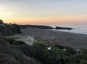
Camp at Wright's Beach Campground
/ 32 ft gainThis campground is defined by the scenery: rugged headlands, craggy coastlines, natural arches, and quiet coves.Wright's Beach Campground features primitive camping - basic tent sites with picnic tables, fire rings, and amazing ocean views. This is a great location for Bay Area campers who want t...Read more -
Glen Ellen, California
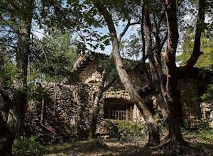
Wolf House in Jack London SP
There is a museum in "The House of Happy Walls" which Mrs. London built in redwood grove find park information, exhibits and a small sales area there. A nearby trail leads to Jack London’s grave and to the remains of "Wolf House," London’s dream house which was destroyed by fire in 1913. The par...Read more -
Yountville, California
Bike the Napa Valley Wine Trail
12.5 mi / 100 ft gainThe Napa Vally Vine Trail is an ongoing project of the Napa Valley Vine Coalition which has the stated goal of creating a 47 mile long bike trail along the entire length of Napa Valley. Currently 12.5 miles of trail is available between downtown Yountville and Kennedy Park in the city of Napa. Yo...Read more -
Point Arena, California
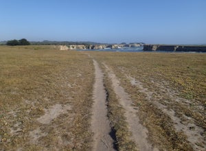
Hike Stornetta Public Lands
4.52.5 miAlong Point Arena Lighthouse Road there is an access trailhead to Stornetta Public Lands, which is part of the Bureau of Land Management system. There is a wonderful coastal trail that offers great views of the rugged coastline. From the trailhead, you will be walking south across an open field w...Read more -
Bodega Bay, California
Bodega Head Nature Trail
4.71.67 mi / 121 ft gainSitting west of the San Andrea fault, the Bodega Head is a massive chunk of granite from the Salinian Block, a geological terrane that contains Point Reyes and the Farallon Islands, and shares its origins with the Sierra Nevada mountains, the Head itself having been carried hundreds of miles to t...Read more -
Point Arena, California
Explore the Point Arena Lighthouse and Trail
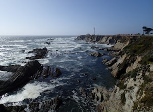
5.00.5 miPoint Arena Lighthouse is situated on the piece of land that is the closest to the Hawaiian Islands from the continental United States. The lighthouse stands at 115 feet high and you are able to go to the top. I did not have time for this, unfortunately but definitely something I will take advant...Read more -
Point Arena, California
Explore the Point Arena Lighthouse
Go into the museum and gift shop first and have a look around at all the cool stuff they have from the lighthouse. Once you're done checking everything out in there, go make your way up the spiral staircase to the tippy top. You can stop just before the peak and go for a walk on the landing that ...Read more

