June Lake, California
Looking for the best backpacking in June Lake? We've got you covered with the top trails, trips, hiking, backpacking, camping and more around June Lake. The detailed guides, photos, and reviews are all submitted by the Outbound community.
Top Backpacking Spots in and near June Lake
-
Mariposa County, California
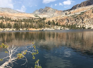
Grant Lake via Ten Lakes Trailhead
4.012.24 mi / 2000 ft gainThe trail begins at the Ten Lakes trailhead (7600 ft) right beside Yosemite Creek. The first 4 miles start you on the ascent through the wooded forest, however there are portions of the trail that will take you through granite rock valleys marked with only cairns so keep your eyes peeled througho...Read more -
Mariposa County, California
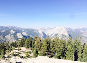
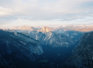
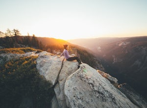
Sentinel Dome and Taft Point Loop
5.05.17 mi / 1076 ft gainSENTINEL DOME & TAFT POINT TRAILHEAD: About an hour drive from Yosemite Valley campgrounds. This trailhead is an intersection of the starting point of the Taft Point trail and Sentinel Dome trail. It is a short walk (and visible) from the parking lot. In doing both trails, it would be an esti...Read more -
Mariposa County, California
Backpack to Lower Ottoway Lake
32 mi / 2400 ft gainThe hike begins at Mono Meadows trailhead along Glacier Point Road, first descending 2.8 steep miles to Illilouette Creek. Above the Illilouette Junction, take in views of the Valley's granite domes before beginning the post-burn forested slog. The trail covers an additional 10 miles of relativel...Read more -
Yosemite Valley, California
El Capitan Trail
5.014.68 mi / 5052 ft gainStart on the Yosemite Falls trailhead and work your way up. Yosemite Falls can be anywhere from a huge flow to a slow trickle depending on the time of year. Hiking boots are absolutely necessary and hiking poles are a huge benefit. Say hello to rock climbers at the top as they finish their El Cap...Read more -
Mariposa County, California
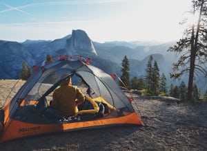
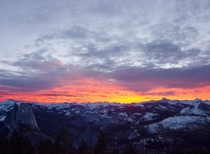
Camp at Glacier Point
4.79.17 mi / 3491 ft gainEveryone that knows Yosemite, knows Glacier Point. An overlook that attracts thousands of people per day that drive up via Glacier Point Road is rarely vacant of the hustle and bustle of people. However, there is a loop hole here, and when the stars align you can have Glacier Point ALL to yoursel...Read more -
Mariposa County, California
Backpack to Yosemite's Eagle Peak via Yosemite Falls
12.6 mi / 3779 ft gainGet a permit. Any overnight backpacking in Yosemite requires a permit from the Wilderness Center. Before you leave make sure to get one! Get a bear canister! Bears are active in Yosemite and all backpackers must take the required measures to keep food away from them! Start at Camp 4. Eagle Pe...Read more -
Bishop, California
Fish for a Sierra Grand Slam in Little Lakes
Access to this relatively mellow (for the Sierras) trail can be reached via Rock Creek Road off of Highway 395, north of the town of Bishop, California. Following Rock Creek road southwest until its terminus will take you directly to the parking lot and signed trailhead for Little Lakes Valley.Fr...Read more -
Bishop, California
Backpack to Ruby Lake
5.04 mi / 1000 ft gainAt 10,200 feet, the trailhead (Little Lakes Valley) for Ruby Lake is one of the highest (if not the highest) in the Sierra. Meaning you get right to the heart of the mountains quickly. Ruby Lake itself is at 11,200 feet elevation.How to get there: At Tom's Place off of Hwy 395, turn southwest int...Read more -
Bridgeport, California
Hike to Peeler Lake
11 mi / 2400 ft gainThis trip can be done as a day trip or backpacking trip. It is around an 11 mile out-and-back trip.Park at Twin Lakes in Bridgeport, CA. There is a $10 fee and it can take a while on busy weekends. A permit is required to stay overnight in Hoover Wilderness. The trailhead can be hard to find; it ...Read more -
YOSEMITE NATIONAL PARK, California
Hike to Eagle Peak via Rockslides Trail
4.016.07 mi / 5568 ft gainA Yosemite Valley trip in May has tourist filled buses, noisy car alarms, and crowded trails written all over it. Thus, I wanted to avoid the beaten path. Looking into possible destinations, John Muir once said in regards to Eagle Peak, "where the most comprehensive of all the views to be had on ...Read more -
YOSEMITE NATIONAL PARK, California
Dewey Point via McGurk Meadow Trailhead
5.07.51 mi / 300 ft gainBefore you start, be sure to visit the Yosemite Valley Visitor Center and grab an overnight permit. More info on this at nps.gov. This trail meanders through beautiful, dense meadows full of wildlife - watch for bears! When you're not hiking among the wildflowers and babbling brooks, you're enc...Read more -
Tuolumne County, California
Backpack Grand Canyon of the Tuolumne
5.048.29 mi / 10610 ft gainThis is a rugged overnight backpack into the North country of Yosemite dropping in from Tuolumne Meadows into the Grand Canyon of the Tuolumne. The trail begins at an elevation just under 9,000' and drops to a low elevation of 4,500' almost 19 miles later at Pate Valley. Coming up out of Pate Val...Read more -
YOSEMITE NATIONAL PARK, California
Nordic Ski and Snowshoe to Glacier Point
5.021 miKnown for its breathtaking vistas, towering granite faces, and thundering waterfalls, Yosemite National Park truly is one of the world’s most astounding landscapes. Though the park covers nearly 1200 square miles, the vast majority of the ~4 million annual visitors spend almost all their time ar...Read more -
Yosemite National Park, California
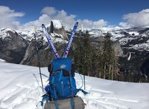
Winter Backpack to Sentinel Dome in Yosemite
5.019.23 mi / 860 ft gainThe goal for our weekend was to do some winter camping in the Yosemite backcountry; we decided on Sentinel Dome as our destination. The trail is a cakewalk during the summer, but winter turns it into a 10 mile uphill grind from the car. Most people opt to head for the ski hut at Glacier Point, bu...Read more -
Mariposa County, California
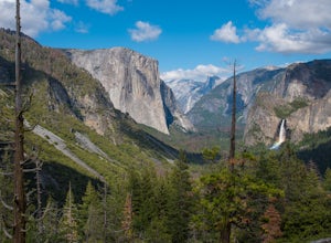
Dewey Point via Tunnel View
5.09.25 mi / 2979 ft gainDewey Point lies on the western side of the Pohono Trail, across the valley from El Capitan and above Cathedral Rocks. When I was there in September, it was deserted but for a few birds drifting on the thermals above the cliffs. The sunset was stunning. It felt like there was nothing between me a...Read more -
Mariposa County, California
Backpack Yosemite's South Rim
5.018 mi / 2800 ft gainStep 1: Get Wilderness Permit from the Wilderness Office the day before! Permits are free and required. This trail is a Point-to-Point trail so make sure you have a shuttle situation figured out (or you can always hitch hike). The best option is to get dropped off at Tunnel View so that you don'...Read more

