Julian, California
Looking for the best photography in Julian? We've got you covered with the top trails, trips, hiking, backpacking, camping and more around Julian. The detailed guides, photos, and reviews are all submitted by the Outbound community.
Top Photography Spots in and near Julian
-
Borrego Springs, California
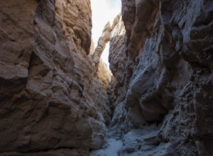
The Slot
4.72.2 mi / 266 ft gainHiking The Slot From the parking lot, you will take the trail into the canyon that is directly in front of you. This will be the hardest and steepest part of the hike. There are no trail markers for the Slot. You can take the trail to the right of the parking lot very briefly, but make sure or y...Read more -
Palomar Mountain, California
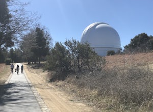
Hike to Palomar Observatory from the Palomar Observatory Campground
5.04.4 mi / 718 ft gainSituated in the Palomar Mountains of Cleveland National Forest, Palomar Observatory Campground offers many amenities for enjoyable camping and exploring the area. A portion of the campsites loop has been cleared of trees with level cement pads to allow campers to set up their own telescopes. Dr...Read more -
Poway, California
Mount Woodson and Potato Chip Rock
4.66.45 mi / 900 ft gainMt. Woodson is located in Poway's most eastern region and is one of San Diego's most popular and most iconic hiking trails. Known for its grand photo opportunistic "Potato Chip Rock", Mt. Woodson is a 7.5mi out-and-back trail with amazing vistas, convenient rest stops and breathtaking views. The...Read more -
San Diego County, California
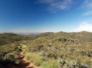
Hiking the Laguna Hills via the PCT
5.020 mi / 2000 ft gainThis trail is well-maintained, but gets a little rocky on the PCT, and the Chariot Fire burn-zone between Penny Pines and Hayes peak will have a few downed trees and some overgrown grasses. On the other hand, the trail network of the BLT is confusing to follow as the entire network is named "Big ...Read more -
Borrego Springs, California
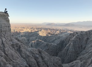
Catch a Sunset at Fonts Point
4.04 miThe best time to go to Fonts point is right before the sun sets. It is located in the desert, so be sure to dress warmly and bring a blanket or two.In order to get to Fonts Point, you'll have to drive through roughly 4 miles of sand and rocks. 4x4 is strongly recommended, but keep an eye on road ...Read more -
Escondido, California
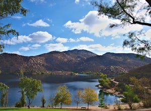
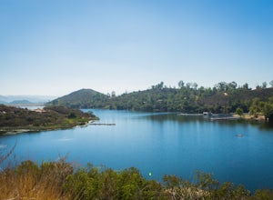
Camp at Dixon Lake
2.1 mi / 295 ft gainDixon Lake is Escondido's best kept secret! A man-made reservoir located right next to Daley Ranch, Dixon Lake offers overnight camping, boat rentals, fishing, and hiking, along with picnic areas, a kids park, and more. The campground is open year-round and is located next to the lake with a lof...Read more -
San Diego County, California
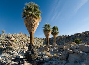
Hike to Mountain Palm Springs, Anza Borrego SP
3 mi / 350 ft gainAt first glance the Anza-Borrego desert appears lifeless, a wasteland of rocky plain peaks rising up from Carrizo Plains covered in Cholla cactus and Ocotillo. But one of the surprises is a mirage of California fan palm groves hidden in a series of canyons.The Mountain Palm Springs oasis loop is ...Read more -
Poway, California
Catch a Sunset at Twin Peaks Mountain
2 miStart by parking at Silverset Park. You will see the trail head for Twin Peaks just behind the park. Park outside of the park if you think you'll be staying past sunset, as the park gates close at dark! Once you spot the trail head, veer left to the path heading up towards the peaks. You will eve...Read more -
San Diego, California
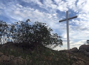
Battle Mountain's Cross
5.00.45 mi / 256 ft gainThis is a quick and easy hike for everyday explorers desiring a 20-minute sweat-inducing power walk leading to incredible views of urban development, Iron Mountain, Mt. Woodson, Mule Hill, and The 15. Come enjoy the views while sitting under the beautiful 20ft cross you've been admiring from the ...Read more -
Escondido, California
Bernardo Mountain Summit Trail
5.07.15 mi / 1060 ft gainBernardo Mountain is located on the Coast to Crest Trail in San Dieguito River Park. The 7.15-mile out-and-back trail to the 1060 ft. summit starts on the east side of I-15. It's a relatively easy hike all the way to the top. It picks up a little once you make it to the Summit Trail junction, wh...Read more -
San Diego County, California
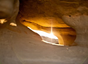
Exploring Anza Borrego's Wind Caves
4.8The drive to the caves is pretty lengthy, so be prepared.First you will drive through Anza Borrego State Park on Highway 78, then on a Split Mountain road which eventually turns into gravel road, and you need to look out for the entrance to the wash-road (which if you like to off road, is a perfe...Read more -
Borrego Springs, California
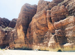
Off-Road through Split Mountain in Anza Borrego
4.011 mi / 0 ft gainFor all you desert lovers- this is a must. Or for all you SD residents that want to try something new and take a break from the populated trails within the county- spend a day in Anza Borrego and include this on your list.This state park is just a quick jaunt outside of the town of Julian. This m...Read more -
San Diego, California
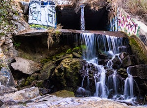
Explore Chambers Hidden Dam and Waterfall
3.20.5 miOnce you get off on Poway road, turn right onto Sabre Springs Parkway. Take your immediate left onto Creekbridge Road and park right there on the hill. Walk straight down towards the black gate and go down the hill. Turn right on the trail and walk down 1/4 mile to the dam, and another 500 yards ...Read more -
Santee, California
Kwaay Paay Trail
2.4 mi / 846 ft gainPark your car in the small gravel parking lot at the southwest corner of Father Junipero Serra Trail and Bushy Hill Drive (this is especially important if you plan to take the sunset hike, so you'll be outside the locked park gate when you descend). There will be other hikers parked there, but I'...Read more -
Escondido, California
Lake Hodges Overlook
4.66.73 mi / 1407 ft gainElfin Forest is one of the most beautiful and unique trails in all of San Diego, CA. The parking is free as well as the overflow parking area. There is an Interpretive Center located in the staging area where you can speak to park rangers, learn about the wildlife and trail locations. The parking...Read more -
San Diego, California
Los Penasquitos Canyon Loop
3.36.77 mi / 131 ft gainLos Penasquitos Canyon Loop After about a five minute hike on the trail you will start to enter into Los Penasquitos Canyon. Every section of the trail is different, one minute you are walking next to a stream with trees arching over the trail and another minute you are walking through an open f...Read more

