Joshua Tree National Park, California
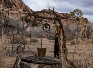
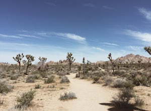
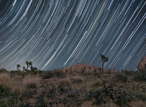
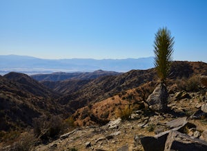
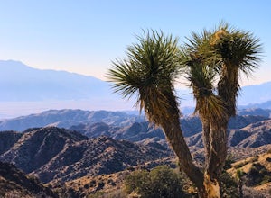
Joshua Tree National Park is located in the Mojave Desert in southeastern California. The park gets its namesake from Joshua trees (Yucca brevifolia), which are native to the area. The rock formations, climbing, and camping make this national park an incredible destination. Please remember to practice Leave No Trace principles and enjoy this area respectfully and responsibly. Contact number for the park's visitor's center: 760-367-5500
Top Spots in and near Joshua Tree National Park
-
Twentynine Palms, California
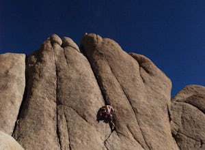
Rock Climb Locomotion in Joshua Tree National Park
5.0Locomotion is a great spot to set up for the day and enjoy the world class climbing that Joshua Tree has to offer. Camp at the nearby and coveted Hidden Valley Campground and you'll be within walking distance to Locomotion and a dozen other quality climbing spots. Joshua Tree really is a camping/...Read more -
Mecca, California
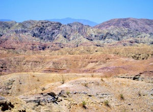
Big Painted Canyon
3.61 mi / 541 ft gainBig Painted Canyon is an out-and-back trail that takes you past scenic surroundings located near Mecca, California.Read more -
Riverside County, California
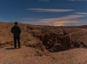
Night Hike Painted Canyon
Take Box Canyon Rd to Painted Canyon Road. Painted Canyon Road is a dirt road, so exercise caution. The road dead ends at the Painted Canyon Trailhead parking lot.Once on the trail, look out for markers and arrow rock piles pointing to the slot canyons and other trails. Some climbing is necessary...Read more -
Mecca, California
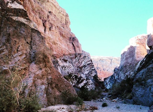
Hike the Ladder Canyon/Painted Canyon Loop
5.04 mi / 2215 ft gainFrom Interstate 10, take State Highway 195 (Box Canyon Road) to Painted Canyon Road. This well-maintained, dirt road goes for about 4 miles and leads into the sandy wash which runs the length of the canyon for approximately 1.7 miles. There are a few narrow side canyons which can be explored on f...Read more -
Twentynine Palms, California
Tour Keys Desert Queen Ranch in Joshua Tree National Park
Joshua Tree National Park flawlessly combines otherworldly landscapes, incredible recreational opportunities, and a colorful, wild-west history. Before it was a national park, Joshua Tree was home to cattle rustlers, gunslingers, miners, and rugged homesteaders. One of the most quirky characte...Read more -
Twentynine Palms, California
Willow Hole Trail in Joshua Tree National Park
6.8 mi / 341 ft gainThe Willow Hole hike begins at Boy Scout trailhead and winds past and through the Wonderland of Rocks to a marshy stand of willows. The trail is flat, but with little shade so be sure to bring lots of water! As you leave the parking lot you'll enter an expansive stand of Joshua Trees that grows...Read more -
Twentynine Palms, California
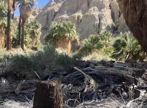
Hike the Fortynine Palms Oasis Trail
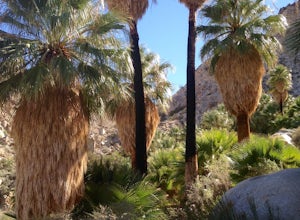
5.03.08 mi / 653 ft gainJust off highway 62 lies an easy 1/2 day hike with incredible views of the Morongo Valley. Though technically part of the park, the out-of-the-way-ness of the hike means you don't need to pay the $20 National Park fee. Parking is ample, and there's a pit toilet at the trailhead (beware of bees an...Read more -
Twentynine Palms, California
Canyoneer Joshua Tree's Rattlesnake Slot Canyon
The trailhead is located at the end of Indian Cove road. From Indian Cove Campground, take the road to the east about a mile to a picnic area where there is parking at the mouth of the canyon.From the picnic area hike up the Canyon in a south to south-east direction. After a few hundred yards a d...Read more -
Twentynine Palms, California
Boy Scout's Trail in Joshua Tree
4.516.12 mi / 1539 ft gainThe Boy Scout trail connects the main part of the National Park to the outer rim campground, Indian Cove Campground. All backcountry overnight trips must be registered at a registration board (free, self-registration). Start this trip at the registration board located in either Indian Cove Campgr...Read more -
Desert Hot Springs, California
Pushwalla Palms Loop
4.33 mi / 741 ft gainPushwalla Palms Loop is a loop trail where you may see wildflowers located near Thousand Palms, California.Read more -
Riverside County, California
Hike the Covington Crest Trail
4.2 mi / 200 ft gainAccessing Covington Flats in Joshua Tree National Park requires a high ground-clearance overland vehicle. In the summer months a standard car might make it to the parking lot after the 7.5 mile off-road drive, but should always be prepared for soft sand. Bring spare water and emergency tools inca...Read more -
Joshua Tree, California
Joshua Tree West Side Trail
4.03.22 mi / 302 ft gainJoshua Tree West Side Trail is a loop trail where you may see beautiful wildflowers located near Twentynine Palms, California.Read more -
Mecca, California
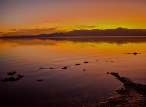
Camp at the Salton Sea
4.0The Salton Sea State Recreation Area is a good place to camp. It has bathrooms with running water and showers. There are 3 options for camping RV camping with hookups is $30 per night. Tent camping at New Camp (on the map to the right) or Mecca Beach is $20 per night. One can also camp at a more ...Read more -
Yucca Valley, California
Eureka Peak
5.00.47 mi / 82 ft gainAccessing Covington Flats in Joshua Tree National Park requires a high ground-clearance overland vehicle. Bring spare water and emergency tools incase of a breakdown. From Route 62 in Yucca Valley, CA take La Contenta Dr. South toward Joshua Tree. This is a backcountry entrance that does not hav...Read more -
La Quinta, California
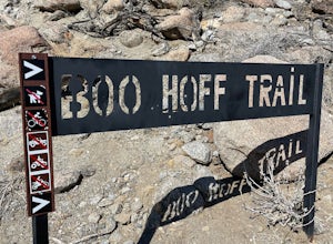
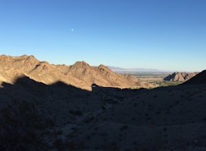
Boo Hoff Trail
12.7 mi / 2323 ft gainBoo Hoff Trail is a loop trail where you may see wildflowers located near La Quinta, California.Read more -
La Quinta, California
Hike to Lake Cahuilla
4.55.41 mi / 183 ft gainFrom Hwy. 111 take Washington (South) 3 miles to Avenue 52 (Turn Right). Take Avenue 52 a 1/2 mile to Avenida Bermudas (Turn Left). Follow Avenida Bermudas for 2 miles (becomes Calle Tecate). Cove Trailhead & Parking Lot located on the left across from Avenida Ramirez. You'll start heading ou...Read more

