Jamestown, California
Jamestown, California, is a must-visit for outdoor adventures, offering some of the top hiking trails. One of the best trails is the Table Mountain Trail. This moderate difficulty trail is known for its unique volcanic rock formations and a stunning seasonal waterfall. The trail also leads to a scenic overlook of New Melones Lake, providing beautiful views. Another popular trail is the Dragoon Gulch Trail, featuring oak woodlands and panoramic views of the Sierra Nevada. For a more relaxed activity, Jamestown also offers gold panning in Woods Creek. The best Trails and Outdoor Activities are waiting for you in Jamestown, California.
Top Spots in and near Jamestown
-
Yosemite Valley, California
Sentinel Meadow Cook's Meadow Loop Trail
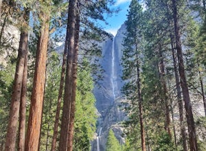
4.51.99 mi / 85 ft gainThis short, easy walk provides some of the best views of several iconic Yosemite landmarks from the valley floor. If you complete the entire loop, expect to see Yosemite Falls from the Swinging Bridge, Half Dome from Sentinel Bridge (a popular spot at sunset), and the historic Yosemite Chapel. ...Read more -
Mariposa County, California
Hike to Alder Creek Falls
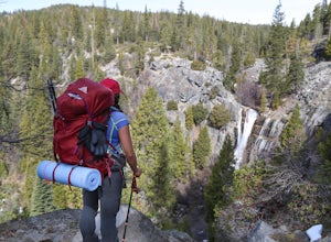
10 mi / 1000 ft gainThe trail leads from the parking area across the Mosquito Creek road and heads uphill north through an open pine forest with manzanita growing on dry slopes. The trail provides access to Alder Creek Falls a hidden gem within Yosemite's Wawona wilderness. I did the trail towards the end of Februar...Read more -
Arnold, California
Climb Lookout Peak in the Carson-Iceberg Wilderness
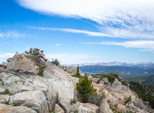
5.04 mi / 1900 ft gainLookout Peak in the Carson-Iceberg Wilderness off Highway 4 provides solitude and wonderful views of the surrounding Sierra Nevada including the Mokelumnee and Emigrant Wildernesses. Even on summer weekends you'll likely have the peak and surrounding area all to yourself.Lookout Peak can be done ...Read more -
Arnold, California
Climb Peep Sight Peak in the Carson-Iceberg Wilderness
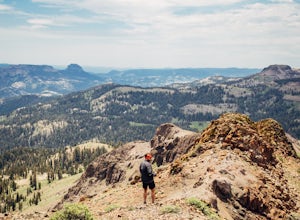
7 mi / 1800 ft gainPeep Sight Peak in the Carson-Iceberg Wilderness off Highway 4 provides solitude and wonderful views of the surrounding Sierra Nevada including the Mokelumnee and Emigrant Wildernesses. Even on summer weekends you'll likely have the peak and surrounding area all to yourself. Peep Sight Peak can b...Read more -
YOSEMITE NATIONAL PARK, California
Taft Point
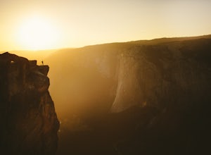
4.92.35 mi / 200 ft gainTaft Point is such an amazing and different view of the Yosemite Valley. If you're lucky and you time it right, you'll also experience complete solitude. While driving Glacier Point Road, just a few minutes before arriving at Glacier Point, you'll see a parking lot for the Taft Point Trailhead. ...Read more -
Mariposa County, California
Sentinel Dome Trail
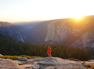
5.02.15 mi / 400 ft gainOne of the most popular places in Yosemite for sunset is Glacier Point, but by walking one mile from the trailhead, the crowds quickly dissipate. Sentinel Dome is great for all ages since the trail is short and not too steep. Park at the Sentinel Dome trailhead, about 3 miles from the end of Glac...Read more -
Mariposa County, California
Sentinel Dome and Taft Point Loop
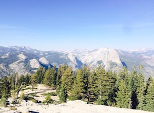
5.05.17 mi / 1076 ft gainSENTINEL DOME & TAFT POINT TRAILHEAD: About an hour drive from Yosemite Valley campgrounds. This trailhead is an intersection of the starting point of the Taft Point trail and Sentinel Dome trail. It is a short walk (and visible) from the parking lot. In doing both trails, it would be an esti...Read more -
YOSEMITE NATIONAL PARK, California
Photograph Stoneman Bridge in Yosemite NP
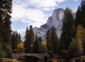
4.5This location turned out to be one of our favorite unplanned stops in the Yosemite Valley to photograph and explore.Stoneman Bridge was constructed in 1933 and spans 72 feet long. The Merced River flows under this classic stone bridge providing very photogenic reflections, with Half Dome in the b...Read more -
Arnold, California
Hiking Disaster Creek
While this is not a terribly scenic hike, the trees, creek, and terrain are very beautiful, and the entire area is quiet and peaceful. You're likely not to pass a single other person on the hike, which is great for letting dogs off-leash.The trail starts off with a series of switchbacks, which ga...Read more -
Mariposa County, California
Photograph Yosemite's Half Dome at Glacier Point
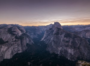
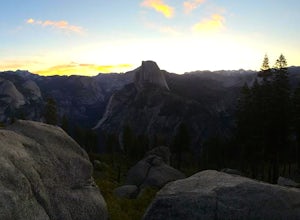
4.7Glacier Point gives you a classic view of Half Dome and Yosemite Valley. You can get a different perspective of Half Dome if you jump on any of the trails heading out of Glacier Point. Illilouette Falls trail gives you a different view of Half Dome. This trail is around 4-5 miles round trip fro...Read more -
Mariposa County, California
Stargaze and Photograph the Night Sky at Glacier Point
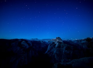
5.0The summer months of June, July, and August tend to provide the best views of the stars, and particularly in August during the meteor showers. Amateur astronomers often gather on Saturdays during the summer, and provide first hand knowledge and guidance. Glacier Point can accommodate hundreds of ...Read more -
Mariposa County, California
Reverse Summit of Glacier Point in Yosemite National Park
4.517 mi / 6100 ft gainYosemite's Panorama Trail is undoubtedly one of the most scenic and worthwhile trails in the entire national park. The stretch that reaches from the valley floor to the top of Glacier Point involves 8.5 miles and a monumental amount of elevation gain. If you want to see the entire stretch of trai...Read more -
YOSEMITE NATIONAL PARK, California
Illilouette Falls in Yosemite National Park
4.55.07 mi / 1400 ft gainThe hike begins at Glacier Point. Find the marker for the Panorama Trail just beyond the viewing steps (to the right, if you’re looking at Half Dome). The first section of the hike will be lined with open views of Half Dome, Vernal Falls and Nevada Falls. It will be hard not to stop to listen ...Read more -
Mariposa County, California
Backpack to North Dome in Yosemite
5.08.8 miTo stay overnight in Yosemite without a reserved campsite requires a "Wilderness Permit" to camp, but you can camp anywhere. However, any fires need to be in pre-made fire pits (so rangers can know where to check for fires) Day 1 - Hike in from the Porcupine Trailhead off of Tioga Road in to vie...Read more -
Mariposa County, California
Porcupine Creek Trail to Indian Ridge Natural Arch to North Dome
10.04 mi / 2089 ft gainPorcupine Creek Trail to Indian Ridge Natural Arch to North Dome is an out-and-back trail where you may see beautiful wildflowers located near Yosemite Valley, California.Read more -
Mariposa County, California
Backpack to Clouds Rest from Glacier Point
4.023.85 mi / 6942 ft gainStart from Glacier Point around 7,200 feet leaving on the Panoramic Trail. Head down 2 miles to Illilouette Falls (5,800 feet). Once you cross the bridge at Illilouette Falls you go up Panorama Point and head back down to Nevada Falls (5,971 feet). Once you reach Nevada Falls fill up on as much w...Read more

