Inyo County, California
Inyo County, California is a top location for those seeking outdoor adventures. With its top-notch trails and must-visit attractions, there is something to capture everyone's interest. From scenic hikes to mountain bike rides, the area offers endless opportunities for exploration. Popular attractions include the Alabama Hills, Death Valley National Park, and the Ancient Bristlecone Pine Forest. In addition, the area offers several outdoor sports, such as kayaking, fishing, and rock climbing. No matter what your preference, you can enjoy unique experiences and create lasting memories in the area.
Top Spots in and near Inyo County
-
Shoshone, California
Camp in the Greenwater Valley in Death Valley NP
Greenwater Valley in the southeast corner of Death Valley National Park is a fantastic representation of the many features that the Park has to offer but without the crowds (and traffic) found in the primary campgrounds like those around Stovepipe Wells and Texas Spring. In addition to being quit...Read more -
Inyo County, California
Camp at Death Valley's Wildrose Campground
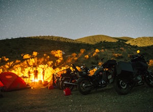
There is a ton to see here, exploring Death Valley is the perfect way to spend a weekend away. We decided to explore it with a group of friends on motorcycles but a car will do just fine too.Death Valley is located in Eastern California's Mojave Desert. From LA, take highway 395 and meet up with ...Read more -
Inyo County, California
Explore Skidoo Road
Skidoo Road is the first dirt road on the left you encounter when driving Emigrant Canyon Road. The road is suitable for any car until you reach an old mine on the right atop a hill. Directly to the left is a prospector's wood cabin. Both are in very good condition and worthy of a stop to chec...Read more -
Inyo County, California
Hike the Salt Creek Interpretive Trail
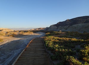
5.00.9 mi / 26 ft gainThe trail is a loop boardwalk. At the furthest point, there is a sandy footpath that will lead you to a creek and will provide a more secluded experience. Interpretive signs have been placed strategically on the trail, pointing out species of interest. The endangered pupfish is found in this cree...Read more -
DEATH VALLEY, California
Hike Mosaic Canyon, Death Valley
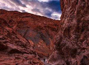
4.02 mi / 814 ft gainMosaic Canyon is located a quarter mile west of Stovepipe Wells Village. From the 190 Highway, take the 2 mile gravel road to the canyon parking lot. The road is very rough and bumpy, but a regular passenger car will be able to make the drive. A high clearance 4x4 vehicle will not have any proble...Read more -
Death Valley, California
Photographing the Mesquite Flat Sand Dunes
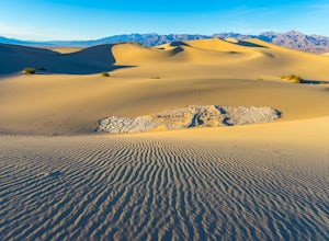
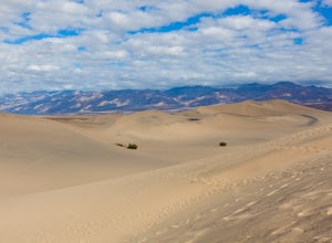
4.9The Mesquite Flat Sand Dunes are the most photographed dunes at Death Valley National Park. To reach the dune’s parking lot from Furnace Creek, drive 22 miles west on Highway 190. Three miles before you reach Stovepipe Wells, the dunes will be clearly visible from the road and you’ll turn right i...Read more -
Death Valley, California
Sandboarding the Mesquite Sand Dunes
3.0Snow level is a little lacking this year? No time or money to fly out to Park City or Whistler? Head over to Death Valley, America's second largest National Park and give sand boarding a try while exploring this amazing park. It's a unique and adrenaline filled activity with one of the most beaut...Read more -
Tecopa, California
Hike the Amargosa River Trail
8.9 mi / 561 ft gainExplore the beauty of the Mojave Desert and its wide-open tranquil spaces with this easy 5 mile hike beginning in the parking lot at the China Ranch Date Farm. This is a primitive trail that follows the historic T&T railroad grade, through Amargosa Canyon with washed out remnants of the old t...Read more -
Inyo County, California
Panamint Dunes
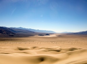
5.07.23 mi / 935 ft gainYou can do this as a day trip and just wander the dunes, but I really enjoyed the overnight with great evening views, amazing stargazing, and a sunrise exploration of the sand dunes. For an overnight trip I recommend you start hiking later in the day, when the temperature is a bit cooler. If you...Read more -
San Bernardino County, California
Hike around the Dumont Dunes
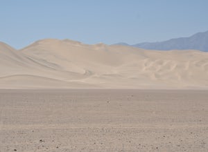
5.0Dumont Dunes is an Off-Highway Vehicle (OHV) area administered by the Bureau of Land Management as a recreational area for off-road vehicle sports, hiking, camping, rock climbing, and rock collecting. While most people come here to ride ATVs across the dunes, we opted to take a hike up the dunes ...Read more -
Inyo County, California
Hike to Darwin Falls
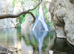
5.02 mi / 275 ft gainYes, you saw this right, it's a waterfall in Death Valley. This magical oasis has water flowing year round and is found in the driest place in North America. Death Valley is full of amazing places, but this should be on everyone's to-do list! It's a short hike that quickly rewards you with a plac...Read more -
Beatty, Nevada
Explore Rhyolite Ghost Town
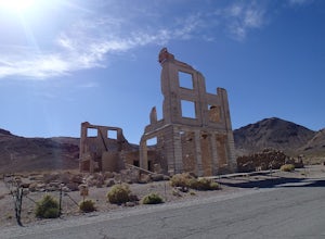
1.1 mi / 118 ft gainJust outside of Death Valley National Park, Rhyolite is 35 miles from the Furnace Creek Visitor Center on the way to Beatty, Nevada. Rhyolite Ghost Town is a result of the gold rush in Nevada. The town was very lively, with active citizens who enjoyed baseball games, dances, basket socials, tenni...Read more -
Inyo County, California
Explore Leadfield Ghost Town
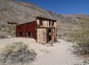
Leadfield is located on Titus Canyon Road and requires a high clearance vehicle to get back and explore. There is a marker designating the site so it is easy to find. There is about three in tacked buildings and several other ruins along with a few mine shafts. Copper and lead claims were filed i...Read more -
Inyo County, California
Backpack Fall Canyon
8 miThe trail head is north of Furnace Creek at the Titus Canyon parking lot which is clearly marked on any park map. On a busy weekend cars are lined up along the road leading to the parking lot which has a restroom. Note that there is no water source here. To begin the hike in, take the trail on th...Read more -
Darwin, California
Photograph Panamint Valley from Father Crowley Overlook
0.5 mi / 150 ft gainFather Crowley Overlook is an easily missed overlook on the western edge of Death Valley National Park off State Highway 190 overlooking Panamint Valley. It is easy to miss because the parking area doesn't appear to have a particularly notable vista, but leading off from the parking area to the s...Read more -
Inyo County, California
Drive into a Rainbow: Titus Canyon
4.5Get ready to drive through the center of a rainbow.Titus canyon road winds 27 gorgeous miles through the Death Valley backcountry, twisting sharply around steep rock walls and over small passes. This is an adventure for both you and your vehicle. Consider the dust accumulation on your rear window...Read more


