Humboldt County, California
Looking for the best photography in Humboldt County? We've got you covered with the top trails, trips, hiking, backpacking, camping and more around Humboldt County. The detailed guides, photos, and reviews are all submitted by the Outbound community.
Top Photography Spots in and near Humboldt County
-
Orick, California
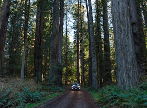
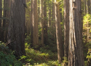
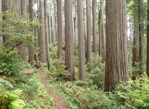
Explore the Prairie Creek Redwoods
4.1Prairie Creek Redwoods State Park is located in Orick, CA about 50 miles North of Eureka, Ca and 25 miles South of Crescent City, CA. Take the Newton B Drury Scenic Parkway exit off of Highway 101. Along this road there is a prairie where wild Roosevelt Elk can be spotted. They are wild so keep y...Read more -
Orick, California
Prairie Creek Redwoods Loop
5.019.42 mi / 2799 ft gainThis is the itinerary for our 3 day backpacking trip at Prairie Creek Redwoods State Park in early May. The original plan was to backpack Redwood Creek Trail in Redwood National Park. A couple issues stopped us from doing that: The water level was too high in May and multiple Park Rangers warne...Read more -
Junction City, California
Canyon Creek Lakes
4.314.35 mi / 2605 ft gainNumerous starting points with over 550 miles of trail and easily 50+ different featured trails depending on length and what type of activity you are are looking for. One of the more popular trails, and rightfully so, is Canyon Creek Lakes Trail. This 16 mile roundtrip hike has an overall elevatio...Read more -
Orick, California
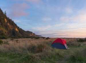
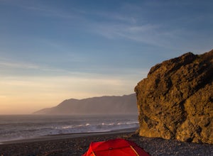
Camp at Gold Bluff Beach
5.0Located at Prairie Creek Redwoods State Park, the access road to this beach is a dirt road through the redwoods. Once you arrive to the beach area there is a park booth. The charge to overnight is $35 per day. Can also pay a day use fee which is less. The campground is situated some 200 yards fro...Read more -
Orick, California
Hike the Friendship Ridge Trail loop via the Coastal Trail
3.08 mi / 1500 ft gainThis loop hikes starts at the Fern Canyon Trailhead. To get to Fern Canyon, drive to the end of Davison Rd, also known as Gold Bluff Beach road. There is a pay station at the entrance to the road ($8 in 2015). After heavy rain, the road may be impassable for passenger cars. From the parking a...Read more -
Orick, California
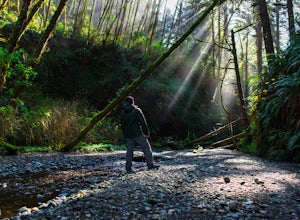
Fern Canyon
4.41.12 mi / 269 ft gainFern Canyon is located within Gold Bluffs Beach at Prairie Creek Redwoods State Park located some 45 miles south of Crescent City, CA. Entrance to the beach area is located on Davidson Rd off the US-101 in Orick, CA. You will need to drive for about 6 miles on the dirt road at the turn of Davidso...Read more -
Forks of Salmon, California
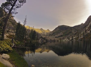
Grizzly Lake via China Gulch Trailhead
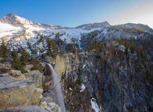
4.414.6 mi / 5112 ft gainGrizzly Lake is in the Trinity Alps Wilderness. The lake is know for its brilliant waterfall flowing from the lake's surface straight off the side of a cliff and roughly 600 feet down to the meadow below. Grizzly lake is located in some of America's most amazing and remote alpine wilderness, incl...Read more -
Whitethorn, California
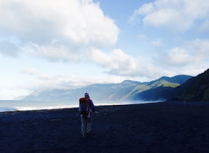
Black Sands Beach on the Lost Coast
5.00.5 miBlack Sands Beach and all of the Lost Coast is almost indescribable in its ruggedness and beauty. Black Sands Beach sits along the southern portion of of the famous Lost Coast Trail, and is accessible by one of the two roads that go across the King Range to the ocean. From 101 in Garberville, hea...Read more -
Whitethorn, California
King's Peak from Shelter Cove
2.030.85 mi / 6204 ft gainAfter parking at Shelter Cove and securing a camping permit ($3 per night in the backcountry) follow the bear prints down the coastline for 5 miles, keeping in mind that the tide devours the beach every 12 hours. Parts of the beach become impassable at high tide. Camp overnight at Buck Creek, th...Read more -
Whitethorn, California
Chinquapin Loop on The Lost Coast
4.07.87 mi / 2159 ft gainI did this hike the day before setting out on a backpacking trip along the northern section of The Lost Coast Trail and it was a fantastic warm up hike. The Chinquapin Loop is a loop off of The Lost Coast Trail along Chemise Mountain, near the start of the southern section of the LCT. You can st...Read more

