Humboldt County, California
Looking for the best camping in Humboldt County? We've got you covered with the top trails, trips, hiking, backpacking, camping and more around Humboldt County. The detailed guides, photos, and reviews are all submitted by the Outbound community.
Top Camping Spots in and near Humboldt County
-
Trinidad, California
Patrick's Point Trail
5.00.21 mi / 92 ft gainPatrick's Point Trail is an out-and-back trail where you may see wildflowers located near Trinidad, California.Read more -
Orick, California
Tall Trees Grove, Redwood Creek, Emerald Ridge Loop
4.44.41 mi / 1043 ft gainDay 1: Check with the Rangers station before heading up for best camping opportunities. Assuming you've checked with the rangers for approval...if there are openings, off of the main road, there are side streets with access to the beaches. Pull into one of these areas and drive down as far as you...Read more -
Humboldt County, California
Hike to Tall Trees Grove, Redwood NP
5.03.9 mi / 690 ft gainNOTE: You need a permit, albeit free, to do this hike.First, you'll need to go to the Thomas H. Kuchel Visitor Center just off Highway 101 south of Orick, CA. Once there, write down your license plate number and go up to the counter and ask one of the rangers for a permit for Tall Trees Access Ro...Read more -
Petrolia, California
The Lost Coast: Mattole to Black Sands Beach
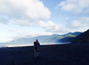
4.825.05 mi / 653 ft gainThis is an absolutely stunning 25 mile thru-hike on the northern part of California's coast. To accomplish this hike, you'll either need to bring 2 cars or use a shuttle service. It's recommended that you drop one car at the Shelter Cove Trailhead (40.0455053,-124.0778196) and either use one of t...Read more -
Garberville, California
King's Peak via Lightning Trailhead
5.04.79 mi / 1942 ft gainKing's Peak is the tallest peak in the King Range, the home of the famous and spectacular "Lost Coast". At an elevation of 4,000' and less than 3 miles from the ocean, King's Peak provides stunning views in all directions: of canyons, beaches, foggy valleys, and the many greenhouses that dot the ...Read more -
Junction City, California
Camp at Junction City Campground
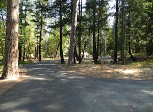
3.0Junction City Campground is home to 22 tent/trailer campsites, paved loop road, vault toilets, potable water, fire rings, and picnic tables. MAX trailer length is 40 feet. The campground is located 1.5 miles west of Junction City on State Highway 299.Dogs are welcome in the campground -- please k...Read more -
Junction City, California
Fly Fish the Trinity River
The Trinity River is one that is rarely visited by your typical Bay Area resident. In fact, much of true Northern California is "untouched" in the eyes of those who live in The City, which is what drew me to this place to begin with. After a five hour journey from San Francisco, we made it to our...Read more -
Orick, California
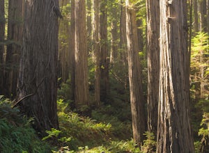
Explore the Prairie Creek Redwoods
4.1Prairie Creek Redwoods State Park is located in Orick, CA about 50 miles North of Eureka, Ca and 25 miles South of Crescent City, CA. Take the Newton B Drury Scenic Parkway exit off of Highway 101. Along this road there is a prairie where wild Roosevelt Elk can be spotted. They are wild so keep y...Read more -
Orick, California
Prairie Creek Redwoods Loop
5.019.42 mi / 2799 ft gainThis is the itinerary for our 3 day backpacking trip at Prairie Creek Redwoods State Park in early May. The original plan was to backpack Redwood Creek Trail in Redwood National Park. A couple issues stopped us from doing that: The water level was too high in May and multiple Park Rangers warne...Read more -
Junction City, California
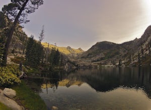
Scramble Thompson Peak
4.022.7 mi / 6100 ft gainThis adventure begins at the Canyon Creek Lakes in the Trinity Alps wilderness. Park at the Canyon Creek Trailhead near Junction City and hike the well-maintained and easy-to-follow trail for 8 miles. Once you reach the Canyon Creek Lakes, your off-trail adventure officially begins. I’d recommend...Read more -
Junction City, California
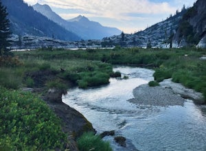
Backcountry Camp in the Canyon Creek Drainage
9 mi / 2600 ft gainThe first half of the Canyon Creek Drainage is one of the most popular destinations within the Trinity Alps, but the second half goes largely unexplored and uninhabited by sojourners. Four peaks – Thompson Peak, Wedding Cake, Mt. Hilton, and Sawtooth Peak – surround the basin and offer adventurer...Read more -
Junction City, California
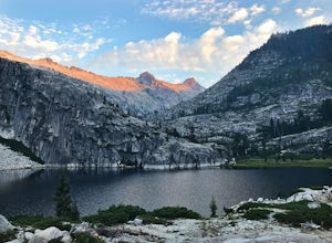
Canyon Creek Lakes
4.314.35 mi / 2605 ft gainNumerous starting points with over 550 miles of trail and easily 50+ different featured trails depending on length and what type of activity you are are looking for. One of the more popular trails, and rightfully so, is Canyon Creek Lakes Trail. This 16 mile roundtrip hike has an overall elevatio...Read more -
Orick, California
Camp at Gold Bluff Beach
5.0Located at Prairie Creek Redwoods State Park, the access road to this beach is a dirt road through the redwoods. Once you arrive to the beach area there is a park booth. The charge to overnight is $35 per day. Can also pay a day use fee which is less. The campground is situated some 200 yards fro...Read more -
Douglas City, California
Camp at Douglas City Campground
The campground amenities include 20 tent/trailer campsites, group picnic area, picnic tables, telephone, beach, paved loop road, flush and vault toilets, potable water, and fire rings. MAX trailer length is 28 feet.Douglas City is located along the Trinity River. Follow State Highway 299 to Dougl...Read more -
Whitethorn, California
Black Sands Beach on the Lost Coast
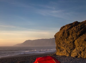
5.00.5 miBlack Sands Beach and all of the Lost Coast is almost indescribable in its ruggedness and beauty. Black Sands Beach sits along the southern portion of of the famous Lost Coast Trail, and is accessible by one of the two roads that go across the King Range to the ocean. From 101 in Garberville, hea...Read more -
Whitethorn, California
King's Peak from Shelter Cove
2.030.85 mi / 6204 ft gainAfter parking at Shelter Cove and securing a camping permit ($3 per night in the backcountry) follow the bear prints down the coastline for 5 miles, keeping in mind that the tide devours the beach every 12 hours. Parts of the beach become impassable at high tide. Camp overnight at Buck Creek, th...Read more

