Hollister, California
Hollister, California, is a must-visit for those seeking outdoor adventures. One of the top attractions is the Hollister Hills State Vehicular Recreation Area. It offers a variety of trails for off-highway motorcycles and all-terrain vehicles. For a scenic hike, the Fremont Peak State Park trail is a top choice, offering panoramic views of the Salinas Valley and Monterey Bay. Pinnacles National Park, located near Hollister, is another must-visit location. It offers challenging hikes, rock formations, and caves. The park is also home to the endangered California condor. For a relaxing day, visit the San Benito River, a perfect spot for fishing and picnicking. For a unique outdoor activity, try skydiving at the Hollister Municipal Airport. With these options, Hollister offers the best trails and outdoor activities for all ages.
Top Spots in and near Hollister
-
Santa Cruz, California
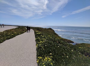
Hike Natural Bridges to Lighthouse Field
3.54.8 mi / 121 ft gainThis is a paved trail that can be used for hiking, jogging, or walking. It offers over 2 miles of beautiful California coast. Walk through flowers, see the jagged cliffs, and of course the lighthouse at the end! This walk can be done from either direction. Start at Natural Bridges and head We...Read more -
Carmel-by-the-Sea, California
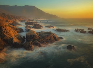
Soberanes Point
1.82 mi / 295 ft gainGarrapata State Park is located along California's Highway 1, roughly 5 miles south of Carmel, California. The park is entirely free with multiple pull-outs and serves as one of the first grand views travelers encounter while heading south from the Monterey Peninsula to southern California. Garra...Read more -
Felton, California
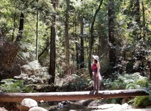
Hike Fall Creek at Henry Cowell SP
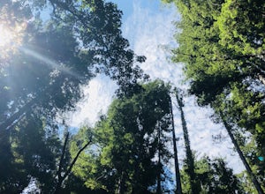
5.09.7 mi / 2191 ft gainThis quiet 10 mile hike features a winding creek and tall redwoods throughout the trail. The parking at the Fall Creek Trailhead is limited, so it is best to get there before 10am. There are redwoods very close to the trail and a good portion is alongside the creek. Most of the trail is dirt, ...Read more -
Carmel-by-the-Sea, California
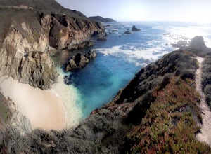
Secluded Beach Near Soberanes Point
5.00.2 mi / 40 ft gainWhen we stumbled upon this beach we were thrilled to have such great views with no crowds. There is plenty of room to lay out in the sun, you can swim in the ocean to cool off, and the beach is surrounded by beautiful landscape. If you decide to swim be very careful as the waves and currents ca...Read more -
Felton, California
Hike to Limestone Kilns and Big Ben Redwood
5.08 mi / 1500 ft gainHenry Cowell Redwood State Park is a super easy destination to get to from Santa Cruz, but the seclusion of the Fall Creek Unit makes this a big bang for buck hike. This hike will take you to Big Ben, a medium sized old growth Redwood, and the abandoned Henry Cowell Lime and Cement Company Kilns ...Read more -
Santa Cruz, California
Surf Four Mile Beach
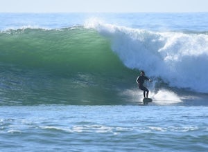
4.0Four Mile is a reef/point break that is a couple of miles north of town. This spot usually picks up more swell than in town so it is a popular spot for many locals to surf. When the swell picks up, it offers long rights towards the beach. The current can be strong when there is a lot of swell in ...Read more -
Carmel-by-the-Sea, California
Calla Lily Valley
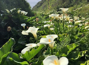
4.50.31 mi / 46 ft gainParking for Calla Lily Valley is available along the dirt pullout at Gate 19 for Garrapata State Park, near mile-marker 63. Signs are small and difficult to see. Follow the path between the guide wires and take the right fork, heading north to the bluff overlooking the beach. Continue north and f...Read more -
Carmel-by-the-Sea, California
Garrapata Beach
4.6A wonderful roadside beach and state park. Easy parking on both sides of Hwy. 1 with short access trails. There are almost 2 miles of coastline trails heading north and south from the parking area. The north end of the beach is great for swimming and surfing when the sea is calm and the south ...Read more -
Los Gatos, California
Hike Los Gatos Trail to Jones Trail Loop
3.8 mi / 511 ft gainThis trail winds its way along the Los Gatos Creek and ends at the Lexington Reservoir before looping back to the start. It is 3.8 miles and makes for a great way to get exercise and relax in nature. You can hear the creek as you hike, and can even go down to it. There is a lot of green foliage t...Read more -
Carmel-by-the-Sea, California
Pat Springs via Skinners Ridge
3.513.18 mi / 3645 ft gainBackpacking to Pat Springs is a way to see Big Sur and the San Lucia mountains from a perspective that few get to experience. The Ventana Wilderness is rugged and remote, yet Pat Springs is one of the most beautiful campgrounds around that will allow you to take in this amazing terrain. To get ...Read more -
Greenfield, California
Adventure at Arroyo Seco
4.6This off-the-beaten-trail adventure has a little bit of everything for everyone, and is as challenging as you make it. Many just make it about a mile down to the river for a leisurely day of relaxing, swimming, sunbathing, and enjoying a few cold beverages. Others embark on a 7+ mile adventure up...Read more -
Monterey, California
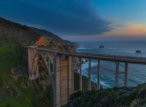
Bixby Bridge
4.7You can't miss this bridge if you are driving north on highway one. The best time for capturing sunsets behind the bridge is December. The positioning of the sun will better coincide with the location of the bridge.There are four main angles to capture the bridge: The first two are up close on ...Read more -
Santa Cruz, California
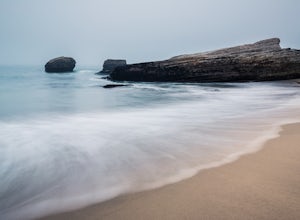
Explore Panther Beach
4.5Panther Beach's white sand, clear water, and interesting rock formations make it one of the most stunning beaches along this stretch of CA1. But this is a hidden gem for a reason - there are no signs along CA1 for Panther Beach. You need to keep you eyes peeled for cars parked along the side of t...Read more -
Santa Cruz, California
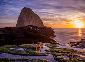
Photographing the Sunset at Panther Beach
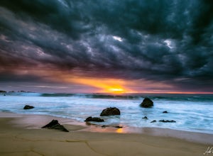
5.0Probably my favorite beach in the Santa Cruz area. Panther Beach lies just south of Davenport along the beautiful Hwy 1. Park at a large dirt pull out on the left hand side if your heading north from Santa Cruz. The trail down to the beach is steep and not that well maintained so watch your step....Read more -
San Jose, California
North Rim Trail to Eagle Rock
5.01.94 mi / 240 ft gainNorth Rim Trail to Eagle Rock is an out-and-back trail that takes you past scenic surroundings located near San Jose, California.Read more -
Davenport, California
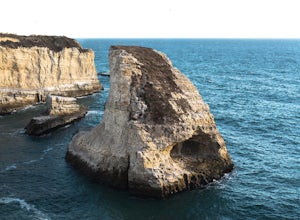
Beach Picnic at Shark Fin Cove
4.3Shark Fin Cove is a large rock formation in an inlet off Highway 1 in Northern California. It is located 1 mile south of Davenport and 10 miles north of Santa Cruz. There is a sizable parking lot located on the side of Highway 1 to park in. Walk down the path left of the parking lot and cross the...Read more

