Hollister, California
Looking for the best photography in Hollister? We've got you covered with the top trails, trips, hiking, backpacking, camping and more around Hollister. The detailed guides, photos, and reviews are all submitted by the Outbound community.
Top Photography Spots in and near Hollister
-
Carmel-by-the-Sea, California
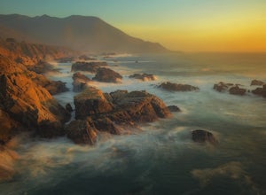
Soberanes Point
1.82 mi / 295 ft gainGarrapata State Park is located along California's Highway 1, roughly 5 miles south of Carmel, California. The park is entirely free with multiple pull-outs and serves as one of the first grand views travelers encounter while heading south from the Monterey Peninsula to southern California. Garra...Read more -
Carmel-by-the-Sea, California
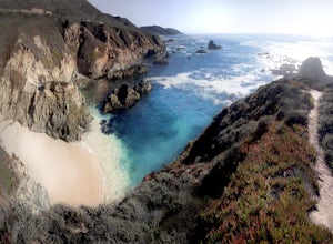
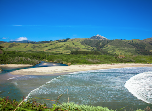
Secluded Beach Near Soberanes Point
5.00.2 mi / 40 ft gainWhen we stumbled upon this beach we were thrilled to have such great views with no crowds. There is plenty of room to lay out in the sun, you can swim in the ocean to cool off, and the beach is surrounded by beautiful landscape. If you decide to swim be very careful as the waves and currents ca...Read more -
Carmel-by-the-Sea, California
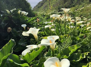
Calla Lily Valley
4.50.31 mi / 46 ft gainParking for Calla Lily Valley is available along the dirt pullout at Gate 19 for Garrapata State Park, near mile-marker 63. Signs are small and difficult to see. Follow the path between the guide wires and take the right fork, heading north to the bluff overlooking the beach. Continue north and f...Read more -
Carmel-by-the-Sea, California
Garrapata Beach
4.6A wonderful roadside beach and state park. Easy parking on both sides of Hwy. 1 with short access trails. There are almost 2 miles of coastline trails heading north and south from the parking area. The north end of the beach is great for swimming and surfing when the sea is calm and the south ...Read more -
Carmel-by-the-Sea, California
Pat Springs via Skinners Ridge
3.513.18 mi / 3645 ft gainBackpacking to Pat Springs is a way to see Big Sur and the San Lucia mountains from a perspective that few get to experience. The Ventana Wilderness is rugged and remote, yet Pat Springs is one of the most beautiful campgrounds around that will allow you to take in this amazing terrain. To get ...Read more -
Monterey, California
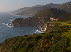
Bixby Bridge
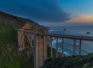
4.7You can't miss this bridge if you are driving north on highway one. The best time for capturing sunsets behind the bridge is December. The positioning of the sun will better coincide with the location of the bridge.There are four main angles to capture the bridge: The first two are up close on ...Read more -
Santa Cruz, California
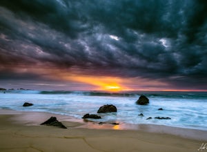
Photographing the Sunset at Panther Beach
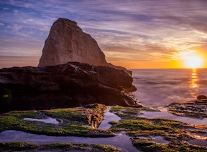
5.0Probably my favorite beach in the Santa Cruz area. Panther Beach lies just south of Davenport along the beautiful Hwy 1. Park at a large dirt pull out on the left hand side if your heading north from Santa Cruz. The trail down to the beach is steep and not that well maintained so watch your step....Read more -
Davenport, California
Beach Picnic at Shark Fin Cove
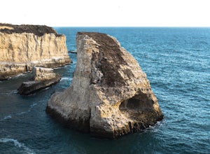
4.3Shark Fin Cove is a large rock formation in an inlet off Highway 1 in Northern California. It is located 1 mile south of Davenport and 10 miles north of Santa Cruz. There is a sizable parking lot located on the side of Highway 1 to park in. Walk down the path left of the parking lot and cross the...Read more -
Big Sur, California
Camp at Ventana Campground, Big Sur
4.6This campground is a gem when it comes to Big Sur camping, book here. Each site includes a parking spot, a campfire ring with grill, a picnic table, and plenty of space for 1-2 tents. There are multiple immaculate restroom facilities with showers, clean trash enclosures (emptied and sanitized dai...Read more -
Big Sur, California
Hike the Creamery Meadow Trail to Molera Beach
2 miEntrance to the parking lot is $10 per car, and once you get in be sure to use the restroom before you head for the trail, since you will likely spend a good amount of time out there.Look for the sign that says Creamery Meadow Trail. You'll know it's right when the very first thing you'll need to...Read more -
Big Sur, California
Hike the East Molera Trail
3.2 mi / 1390 ft gainHoused in Andrew Molera State Park, the East Molera Trail is easily accessible from Highway 1 with parking and restrooms available to hikers. A $10.00 entry fee is required but also provides entrance to Pfieffer Big Sur State Park just a few miles down the road.The trail head is located east of t...Read more -
Big Sur, California
Hike the Andrew Molera State Park Loop
4.58.8 mi / 1100 ft gainThe loops starts at the Andrew Molera State Park parking lot (4.5 miles north of the entrance to Pfeiffer Big Sur State Park along Highway 1). Begin by crossing the Big Sur River using the seasonal bridge. If the bridge has been removed, you will need to cross the water by foot. Usually the water...Read more -
Big Sur, California
Camp at Andrew Molera State Park
4.51 miAndrew Molera is about 27 miles south of Carmel and one of the first State Parks you'll hit heading down the coast. There will be signs for the Park as you approach and the main parking lot is only a couple hundred yards from Hwy 1. There are a number of hiking trails and activities to do around ...Read more -
Big Sur, California
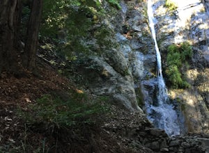
Hike to Pfeiffer Falls
4.02 miThis trail is a staff favorite at Big Sur. This family-friendly waterfall trail provides only a moderate challenge for young children and older family members. There are two starting points for this hike depending on where you stashed the car. If you’re parked near the gift shop, the head up the ...Read more -
Big Sur, California
Camp at Pfeiffer Big Sur State Park
5.0The campground at Pfeiffer Big Sur State Park offers a spectacular variety of natural settings to enjoy. Each of the 189 tent and RV sites is located within the redwood groves, oak woodlands, grassy meadows and they even have riverside camping.Each site has a picnic table, fire ring, access to dr...Read more -
Big Sur, California
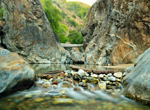
Explore the Big Sur River Gorge
4.71 miIf you are in the Big Sur area during the summer, exploring the Big Sur River Gorge is a must! The gorge is located in Pfeiffer Big Sur State Park, and your closest parking will be day use parking lot 3. The trailhead to the gorge can be found at the northeast end of Pfeiffer Big Sur State Park C...Read more

