Guerneville, California
The best Trails and Outdoor Activities in Guerneville, California are a must-visit for anyone seeking outdoor adventures. The Armstrong Redwoods State Natural Reserve offers a top-rated hiking trail that winds through towering redwood trees. The trail is moderately challenging but rewards hikers with scenic views of the forest's unique ecosystem. For a more relaxed outdoor activity, Johnson's Beach is a popular spot for swimming and picnicking by the Russian River. The Russian River itself is a hub for kayaking and canoeing, with several rental shops nearby. If you're up for a bit of a climb, the Riverfront Regional Park has two beautiful lakes surrounded by a trail with stunning views. These attractions, in and near Guerneville, make it a top destination for the best in outdoor activities.
Top Spots in and near Guerneville
-
Calistoga, California
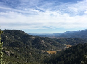
Hike the Oat Hill Mine Trail
5.08.3 miThe incline on this trail begins pretty much right away and is fairly gradual for the entire hike, some of it is quite rocky, making this an easy to moderate level hike. However, with some shade (probably wouldn't attempt it on a hot summer day) and the sweeping views of the valley that get bette...Read more -
Calistoga, California
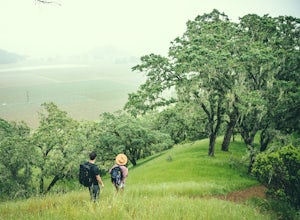
Hike Bald Hill in Robert Louis Stevenson State Park
3.2 mi / 1200 ft gainBald Hill is the first serious peak/summit that can be reached via the Oat Hill Mine Trail as it breaks from the more popular loop and heads into the heart of Robert Louis Stevenson State Park. To get there you can either begin at the less frequently used trailhead at Picket and Rosedale Roads he...Read more -
Calistoga, California
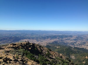
Hike Mount Saint Helena
4.310 mi / 2100 ft gainDrive north from Napa following Rt 29, through Calistoga and up into the forest. After passing the sign for Robert Louis Stevenson State Park, and just over the crest, there is a parking area on the right side of the road, opposite the trailhead on the left. Parking fills up by mid-morning so get...Read more -
Inverness, California
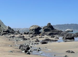
Marshall Beach Trail
5.02.41 mi / 305 ft gainMarshall Beach Trail is an out-and-back trail that provides a good opportunity to see wildlife located near Inverness, California.Read more -
Kenwood, California
Pony Gate-Canyon Loop
4.02.17 mi / 568 ft gainThe Pony Gate-Canyon Loop within Sugarloaf Ridge State Park is a new favorite of mine on my list of family and kid-friendly hikes. Our little girls did great with this hike and loved it. If you can get moving early in the day and begin your hike around breakfast time, you might find there are few...Read more -
Calistoga, California
Camp at Bothe-Napa Valley SP
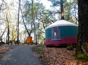
4.5Looking for a romantic getaway but you’d prefer to spend your nights around a campfire? This adventure is for you. This beautiful Napa Valley campground has it all – 10 miles of hiking trails, 1,900 acres to explore, and…new yurts! Yurts are basically cool circular tents that allow you enjoy the ...Read more -
Inverness, California
Abbotts Lagoon Trail
4.63.43 mi / 102 ft gainIf you like beaches, headlands, scenic landscapes, wildflowers, and tons of wildlife viewing, you should give this hike a try. Although it only takes about an hour to complete the out-and-back, the vibe surrounding this area is just begging you to slow down and enjoy your natural surroundings. T...Read more -
Saint Helena, California
Hike Bald Mountain, Sugarloaf Ridge SP
5.06 mi / 1540 ft gainPark at the top of Adobe Canyon Road in the gravel parking lot to the left of the ranger kiosk. There is a $7.00 parking fee.There are many options for routes to the top; the easiest of which is mostly paved (although still steep in parts). To take this route, head north out of the trailhead park...Read more -
Glen Ellen, California
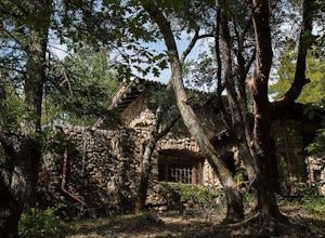
Wolf House in Jack London SP
There is a museum in "The House of Happy Walls" which Mrs. London built in redwood grove find park information, exhibits and a small sales area there. A nearby trail leads to Jack London’s grave and to the remains of "Wolf House," London’s dream house which was destroyed by fire in 1913. The par...Read more -
Glen Ellen, California
Sonoma Ridge Trail
9.2 mi / 1955 ft gainSonoma Ridge Trail is a beautiful 9.2-mile out-and-back hike located near Glen Ellen, California. This hike is moderately difficult, with about 1955 feet in elevation change. 95% of the trail is covered in forest shade. Important Notes:Bikes and Horses are permitted on the trails. Dogs are NOT p...Read more -
Petaluma, California
Hike Helen Putnam Regional Park
4.06 mi / 550 ft gainA 216-acre park, Helen Putnam offers 9 trails that are relatively short but can be combined however you wish. Go 2 miles or 10 miles. Loop in and out, up or around. I take a different route every time I hike here.For a good 6-mile hike, begin at the southwest corner, where the parking lot and res...Read more -
Glen Ellen, California
Corridor Ridge Loop Trail
4.02.48 mi / 289 ft gainCorridor Ridge Loop Trail is a loop trail where you may see wildflowers located near Glen Ellen, California.Read more -
Inverness, California
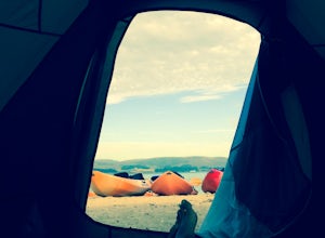
Kayak Camping in Point Reyes
4.9Like camping in remote locations? Love oysters? This is it! Tomales Bay offers boat-in only campgrounds along the east side of the peninsula. We departed from Chicken Ranch Beach, which is on the west side of Tomales Bay. We jumped in our kayaks and headed north in the bay for a quick breather at...Read more -
Inverness, California
Photograph the Cypress Tree Tunnel in Point Reyes
4.3Just north of San Francisco, there's a row of giant Monterey cypress trees that forms a “tree tunnel”. Loved by Bay Area locals, it's a tucked away spot in the Point Reyes National Seashore for photographers to capture early morning sun rays, or for anyone to get some moments of solitude. At the ...Read more -
Inverness, California
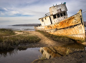
Explore the S.S. Point Reyes Shipwreck
3.9Explore the shipwreck of the S.S. Point Reyes, perched on a sand bar off the shoreline of Tomales Bay. It is located in the small town of Inverness, just behind the grocery store. If you are driving North on Sir Francis Drake Blvd it will be on your right side. Parking is easy and you will see a ...Read more -
Inverness, California
Hike the Estero Trail
5.08 mi / 200 ft gainJune sunshine blazes on your shoulders during this scenic stroll through the Point Reyes Seashore. The trail is alive and awash with colorful wildflowers around every corner.Beginning at the trailhead, just off Home Ranch Road, with a convenient parking lot and bathroom, you'll wade through a hal...Read more

