Grass Valley, California
Grass Valley, California is a top destination for outdoor adventures, boasting some of the best trails and outdoor activities. The Cascade Canal Trail is a must-visit, offering a scenic 4.5-mile hike with views of lush forests, a historic canal, and unique rock formations. This trail is easy to moderate, making it accessible for most hikers. Close to Grass Valley, you'll find the South Yuba River State Park. Here, you can enjoy river swimming, bird watching, and wildflower viewing. The park also features the Independence Trail, California's first wheelchair-accessible wilderness trail. For a more challenging hike, head to the nearby Round Mountain, a 5-mile loop with steep climbs and panoramic views of the Sierra Nevada. Whether you're a hiker or a nature observer, Grass Valley offers a range of outdoor activities to suit all interests.
Top Spots in and near Grass Valley
-
Auburn, California
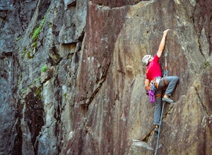
Rock Climb at the Quarry
5.02.6 mi / 800 ft gainMany thanks to the Climbing Resource Advocates for Greater Sacramento (CRAGS) and the Access Fund for their hard work in re-opening this location to make it climbing-legal. Where to Park:Put in "Parking lot for the Quarry Trail, California 193, Auburn, CA 95603"This is the designated parking lot ...Read more -
Foresthill, California
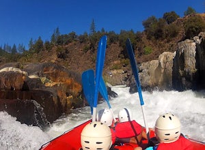
Rafting the Middle Fork American River
5.0The Middle Fork of the American River is a fun and full day of Class III/IV water rafting. You'll experience "Tunnel Chute". An very narrow 20 foot wide chute that drops you into gold miners tunnel. Other popular drops and rapids include, Kanaka Falls, Chunder, Bus Crash, Parallel Parking, 101 Ai...Read more -
Nevada City, California
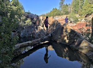
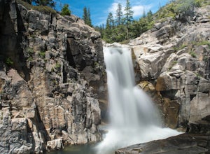
Emerald Pools
4.00.68 mi / 49 ft gainEmerald Pools is an out-and-back trail that takes you by a river located near Emigrant Gap, California.Read more -
Nevada City, California
Bowman Road and Meadow Lake Road to Henness Pass
3.035.45 mi / 4895 ft gainBowman Road and Meadow Lake Road to Henness Pass is a point-to-point trail that takes you by a lake located near Alta, California.Read more -
Placer County, California
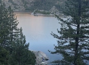
Paddle Lake Valley Reservoir
A perfect adventure spot off Highway 80, Lake Valley Reservoir offers paddlers prime parking and a paved boat launch to push off on a mountain lake with an island for picnicking. Lake speed is 10 mph so fishing boats with outboards are allowed but they have to take it slow. Post launch, head le...Read more -
Nevada City, California
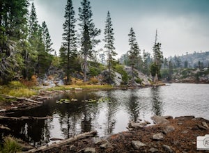
Backpack to Lower Rock Lake
3 mi / 713 ft gainThis adventure begins at the Lindsey Lake Campground parking lot (6,200 feet) where you leave your vehicle, takes you three miles up a trail rife with amazing photo opportunities and seasonal wildlife, and ends on the shore of Lower Rock Lake. Here you will find a dispersed camping site owned by ...Read more -
Emigrant Gap, California
33mi Loop to Donner Lake
33 miWe love this 33-mile loop on old Highway 40 from Cisco Grove to Donner Lake and back. It has just about everything: a few flats, a long slow pull, rollers, a screaming downhill, a tough Alpine climb and a long, cruising downhill. Not to mention altitude. The ride starts at a little above 6,000 fe...Read more -
Emigrant Gap, California
Loch Leven Viewpoint Trail
5.06.41 mi / 1522 ft gainLoch Leven Viewpoint Trail is an out-and-back trail to a viewpoint of the Loch Leven Lakes that is moderately difficult located near Truckee, California. This trail is just under 6.5 miles. If you're willing to add a little more than a mile to your adventure, you can head all the way to Upper Loc...Read more -
Loch Leven Lakes Trailhead, California
Loch Leven Lakes Trail
4.47.6 mi / 1480 ft gainThe trail is easy to follow for the first half mile until you get to some large slabs of granite. As you continue up the trail look for stacked rocks, these will give you a an easy route as you continue up the mountain. The trail then starts to switch back eventually leading to a small bridge. Af...Read more -
Roseville, California
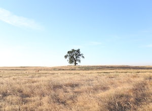
Explore The Solo Tree
3.0Disclaimer: This tree is on private property. If you choose to proceed, please check in with the property owner and proceed respectfully.The Solo Tree (often referred to as #thatrosevillesolotree on Instagram) has become a very popular photography spot in the Roseville area.Drive as far west as y...Read more -
Truckee, California
Backpack the Palisades Creek Trail
4.015 mi / 2200 ft gainAfter driving out to Kidd Lakes and parking at the trailhead, you take off through some easy forest hiking past Cascade Lakes and Long Lake. Pay attention to the cairns marking the trail as you traverse across a large granite section with Devils Peak to your West. The trail is easy to follow and ...Read more -
Oroville, California
Feather River Trail Upper Section
3.23 mi / 89 ft gainFeather River Trail Upper Section is an out-and-back trail that takes you by a river located near Oroville, California.Read more -
Truckee, California
Swim at Long Lake near Truckee
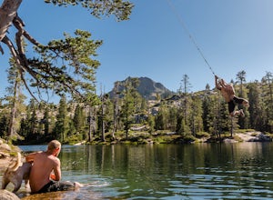
3.71.5 mi / 100 ft gainThe story goes that twenty or so years ago, long before the advent of the Royal Gorge Cross-Country Ski Area, some local Truckee boys decided to put a couple rope swings up on Long Lake near Soda Springs, CA, and they remain there to this day.Long Lake sits amongst a cluster of both man-made and ...Read more -
Sierra City, California
Sierra Buttes Lookout Trail
5.09 mi / 1365 ft gainSierra Buttes Lookout Trail is an out-and-back trail where you may see beautiful wildflowers located near Sierra City, California.Read more -
Sierra City, California
Paddle Lower Sardine Lake
5.0Lower Sardine Lake is a short drive from Sardine Lakes Campground. It has crystal clear water and is a very smooth place to paddle. This is also a popular fishing and kayaking spot. There are many fallen trees in the lake and a couple rocks that come up almost to the surface. The water in genera...Read more -
Sierra City, California
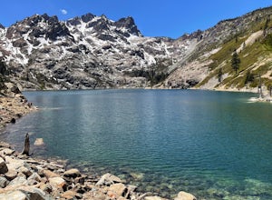
Sardine Lakes
1.32 mi / 253 ft gainSardine Lakes is a loop trail that takes you by a lake located near Sierra City, California.Read more

