Furnace Creek, California
Furnace Creek, California is a popular outdoor spot to explore and discover. With its vast range of activities and features, visitors can easily find something to suit their interests and desires. From scenic trails perfect for a peaceful stroll to popular attractions such as Death Valley National Park and the Harmony Borax Works, Furnace Creek is a treasure trove of outdoor experiences. Whether you are looking for a relaxing day in nature or an exciting and thrilling outdoor venture, Furnace Creek has all the awe-inspiring attractions and adventures that will leave you wanting more.
Top Spots in and near Furnace Creek
-
DEATH VALLEY, California
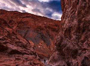
Hike Mosaic Canyon, Death Valley
4.02 mi / 814 ft gainMosaic Canyon is located a quarter mile west of Stovepipe Wells Village. From the 190 Highway, take the 2 mile gravel road to the canyon parking lot. The road is very rough and bumpy, but a regular passenger car will be able to make the drive. A high clearance 4x4 vehicle will not have any proble...Read more -
Inyo County, California
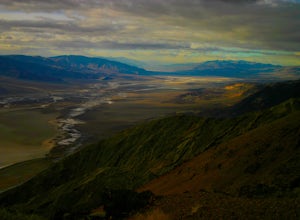
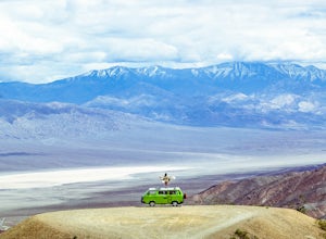
Photograph Dante's View of Death Valley
4.7In all of Death Valley National Park, Dante's View might just be the best spot to watch the light fade away after a long day. Unfortunately, it is one of the highly missed spots along the Highway 190 Death Valley route. This might be due to the fact that it is about 15 miles off of the highway, b...Read more -
Inyo County, California
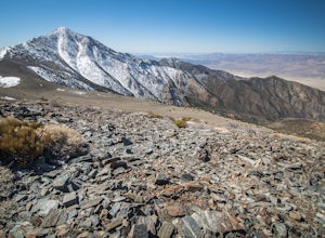
Summit Telescope Peak
12.2 mi / 3258 ft gainThe trail starts at Mahogany Flat campground which can be hiked to from the Charcoal Kilns to the north or more immediately accessible via 4WD on a dirt access road - use caution when driving this road in icy conditions. Once at the Mahogany Flat Campground, the trailhead is towards the south an...Read more -
Inyo County, California
Hike the Hummingbird Spring Trail
2 mi / 850 ft gainThis hike was amazing to me. This trail in not listed on any park service map. If you have the Death Valley National Geographic Map, there is a trail noted at the base of Pinon Mesa (which is not really a mesa so don't look for it) that leads to Hummingbird Spring. Since there was a noted trail ...Read more -
Inyo County, California
Camp at Death Valley's Wildrose Campground
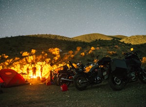
There is a ton to see here, exploring Death Valley is the perfect way to spend a weekend away. We decided to explore it with a group of friends on motorcycles but a car will do just fine too.Death Valley is located in Eastern California's Mojave Desert. From LA, take highway 395 and meet up with ...Read more -
Inyo County, California
Photograph Death Valley's Wildflower Bloom
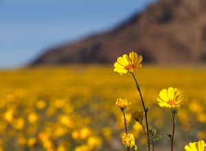
4.52 mi / 200 ft gainEvery spring, a few plants and flowers spring up from the driest place in North America, California's Death Valley National Park. Knowing where to go is important, but not as important as knowing when to go. Wildflower season only lasts a few weeks before daytime temps hit 80º and the flowers go ...Read more -
Inyo County, California
Explore Leadfield Ghost Town
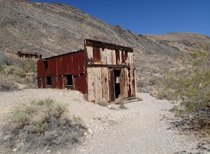
Leadfield is located on Titus Canyon Road and requires a high clearance vehicle to get back and explore. There is a marker designating the site so it is easy to find. There is about three in tacked buildings and several other ruins along with a few mine shafts. Copper and lead claims were filed i...Read more -
Inyo County, California
Backpack Fall Canyon
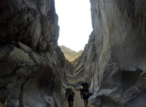
8 miThe trail head is north of Furnace Creek at the Titus Canyon parking lot which is clearly marked on any park map. On a busy weekend cars are lined up along the road leading to the parking lot which has a restroom. Note that there is no water source here. To begin the hike in, take the trail on th...Read more -
Inyo County, California
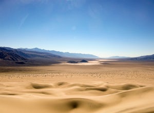
Panamint Dunes
5.07.23 mi / 935 ft gainYou can do this as a day trip and just wander the dunes, but I really enjoyed the overnight with great evening views, amazing stargazing, and a sunrise exploration of the sand dunes. For an overnight trip I recommend you start hiking later in the day, when the temperature is a bit cooler. If you...Read more -
Inyo County, California
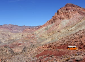
Drive into a Rainbow: Titus Canyon
4.5Get ready to drive through the center of a rainbow.Titus canyon road winds 27 gorgeous miles through the Death Valley backcountry, twisting sharply around steep rock walls and over small passes. This is an adventure for both you and your vehicle. Consider the dust accumulation on your rear window...Read more -
Inyo County, California
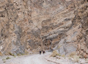
Hike into Titus Canyon
8 miIn total its about 22 miles from Stovepipe Wells. From Stovepipe, head east on the 190 and make the left for Scotty's Castle Rd. Continue another 19 miles down until you can turn off onto the dirt track that leads to Titus Canyon. When you arrive in the parking lot, you'll see Do Not Enter signs,...Read more -
Beatty, Nevada
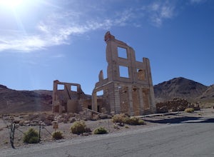
Explore Rhyolite Ghost Town
1.1 mi / 118 ft gainJust outside of Death Valley National Park, Rhyolite is 35 miles from the Furnace Creek Visitor Center on the way to Beatty, Nevada. Rhyolite Ghost Town is a result of the gold rush in Nevada. The town was very lively, with active citizens who enjoyed baseball games, dances, basket socials, tenni...Read more -
Inyo County, California
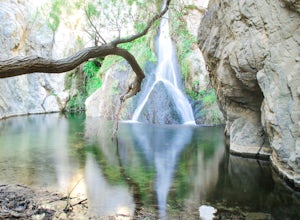
Hike to Darwin Falls
5.02 mi / 275 ft gainYes, you saw this right, it's a waterfall in Death Valley. This magical oasis has water flowing year round and is found in the driest place in North America. Death Valley is full of amazing places, but this should be on everyone's to-do list! It's a short hike that quickly rewards you with a plac...Read more -
Darwin, California
Photograph Panamint Valley from Father Crowley Overlook
0.5 mi / 150 ft gainFather Crowley Overlook is an easily missed overlook on the western edge of Death Valley National Park off State Highway 190 overlooking Panamint Valley. It is easy to miss because the parking area doesn't appear to have a particularly notable vista, but leading off from the parking area to the s...Read more -
Inyo County, California
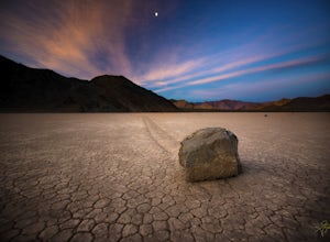
Racetrack Valley
5.0Death Valley National Park is home to some remarkably surreal landscapes, none stranger than Racetrack Valley and its famous moving rocks. For decades, the mechanism of the rocks’ movement was unknown and the subject of much speculation, some scientific and some not, but the mystery was finally ...Read more -
Shoshone, California
Camp in the Greenwater Valley in Death Valley NP
Greenwater Valley in the southeast corner of Death Valley National Park is a fantastic representation of the many features that the Park has to offer but without the crowds (and traffic) found in the primary campgrounds like those around Stovepipe Wells and Texas Spring. In addition to being quit...Read more

