Fontana, California
Looking for the best hiking in Fontana? We've got you covered with the top trails, trips, hiking, backpacking, camping and more around Fontana. The detailed guides, photos, and reviews are all submitted by the Outbound community.
Top Hiking Spots in and near Fontana
-
Los Angeles County, California
Mt. Williamson via Islip Saddle
4.16 mi / 1519 ft gainThe trailhead is immediately off of Angeles Crest Highway CA-2 at Islip Saddle. It's just a touch over 2 miles to reach the summit, through which you'll be hiking among the pine tree forest practically the entire way up (part of this trail doubles as the Pacific Crest Trail). The summit is larg...Read more -
Trabuco Canyon, California
The Luge: Santiago Truck Trail Loop
5.07.46 mi / 1371 ft gainThe Luge: Santiago Truck Trail Loop is a loop trail that takes you through a nice forest located near Lake Forest, California.Read more -
Fawnskin, California
Grays Peak Trail
1.06.95 mi / 1293 ft gainThis is a fairly easy mountain peak to climb. The trailhead is easily accessible right off of Hwy 38 by the town of Fawnskin. There is a large National Forest sign noting the parking area to Grays Peak Trail. Note that parking in this lot requires either a day pass or a California Adventure pa...Read more -
Big Bear Lake, California
Grand View Point
6.9 mi / 1312 ft gainGrand View Point is accessed via Pine Knot Trail, a 6.5 mile out and back hiking trail located at the Aspen Glen Picnic Area, 1 mile from Big Bear Village. With its close proximity to town, Pine Knot Trail is popular in the summer with mountain bikers and the trailhead is often crowded in the win...Read more -
Lake Forest, California
Borrego Canyon to Red Rock Canyon Trails
4.74.25 mi / 518 ft gainJust south east of the city of Irvine, on the southern end of Orange County, is the scenic Whiting Ranch Wilderness Park. Don't let the newly developed shopping centers restaurants fool you, because just beyond the parking lot ($3 Daily Use Fee) of the Borrego Canyon Trailhead, you will find your...Read more -
Trabuco Canyon, California
Hike the Bellview to Dove Lake Trail
2.5 mi / 75 ft gainThis hike will be about going from the Bellview Trailhead to Dove Lake and back. Note that once you get to Dove Lake there are numerous offshoots that can take you in different directions (you can follow the road into the Dove Canyon housing community, take a paved road back to the Bellview parki...Read more -
Forest Falls, California
Mt. San Gorgonio via Vivian Creek
4.717.83 mi / 5627 ft gainA hiking permit is required to hike in the San Gorgonio Wilderness. Apply for the permit early as the Vivian Creek Trail is the second most popular trailhead for the area and quotas fill up in advance. The permits are free and the entire process can be handled via fax or mail. All the information...Read more -
Lake Elsinore, California
San Mateo Peak via Morgan Trailhead
5.04.47 mi / 784 ft gainSan Mateo Peak, standing at an elevation of 3,591 feet, is the highest summit in the Elsinore Mountains, a subrange of the Santa Ana Mountains in Southern California. The peak offers hikers panoramic views of the surrounding landscapes and is accessible via the Morgan Trail. Hours of Operation...Read more -
Angelus Oaks, California
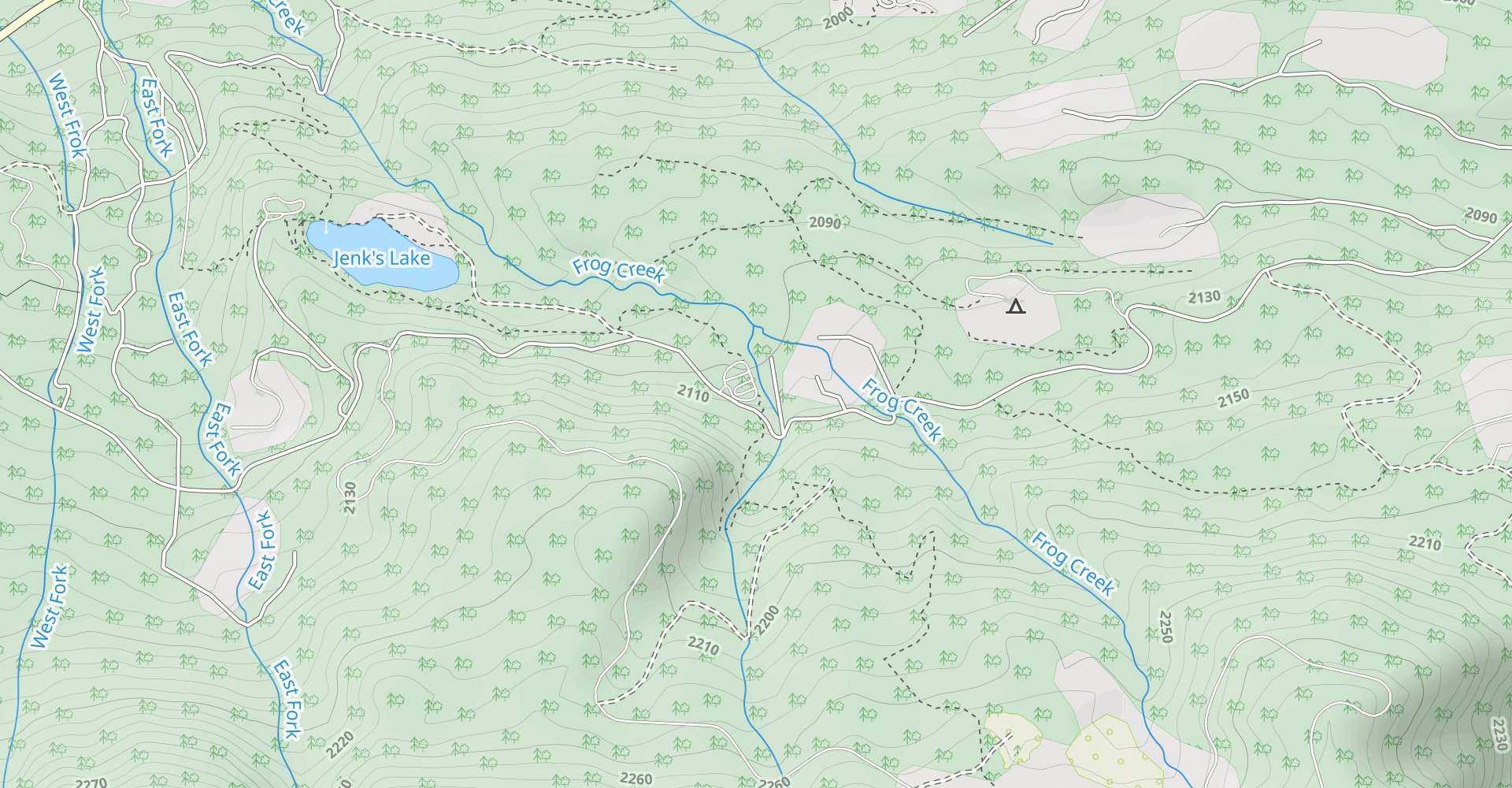
Jenks Lake
4.00.77 mi / 49 ft gainIf you want to experience beauty and solitude in SoCal look no further than Jenks Lake. Not too far from Big Bear Lake, but secluded enough to keep most away in the winter, Jenks Lake is a small but lovely alpine lake near HWY 38 in Angelus Oaks. Driving to the lake is beautiful in itself as HWY...Read more -
Big Bear, California
Cougar Crest Trail
5.05.57 mi / 892 ft gainOn the north side of Big Bear Lake, just off the 38, you will find a turn off for the Cougar Crest Trail. The parking lot is well marked, and signs for the trailhead are easy to spot. Parking is not an issue if you come in later in the afternoon, but the hike can get crowded during peak hours. Fo...Read more -
Monrovia, California
Monrovia Falls
3.71.46 mi / 459 ft gainMonrovia Falls is closed indefinitely due to the Bobcat Fire and mudslides. Read more on the CityofMonrovia.org website. The Monrovia Falls are at the end of the main trail located in Monrovia Canyon Park. The park is easy to locate and has ample parking. Keep in mind you do have to pay a fee of...Read more -
Pearblossom, California
Cooper Canyon Falls via Burkhart Trail
5.03.01 mi / 755 ft gainBurkhart Trail is well-defined and easy to follow through an unbelievable old growth of Jeffrey pines, incense-cedars and surprisingly, redwoods! At 0.25 miles, there is a steep spur trail near a large pile of boulders that leads to a popular swimming area, often frequented by guests of the campg...Read more -
Angelus Oaks, California
South Fork to Dollar Lake Trail
11.3 mi / 2999 ft gainSouth Fork to Dollar Lake Trail is an out-and-back trail that takes you by a lake located near Banning, California.Read more -
Pearblossom, California
Snowshoe Buckhorn Ridge Trail
2.5 mi / 700 ft gainLocated 1 mile east of the Mt Waterman Ski Resort, Buckhorn Ski Hill is a great place to enjoy a leisurely stroll through a snow-covered forest, complete with views of towering Mt Waterman. To get here take I-210 toward La Canada, exit on to California Highway 2 (Angeles Crest Highway) heading no...Read more -
Pearblossom, California
Devil's Punchbowl and Devil's Chair
4.57.37 mi / 1870 ft gainWhat a hidden gem! A martian landscape full of faultline desert rock formations and joshua trees against a mountainous backdrop of the San Gabriels. Devil's Punchbowl Natural Area features a 1 mile well-marked, well-maintained single track loop trail inside the Punchbowl (great for kids) and a 7 ...Read more -
Lake Elsinore, California
Hike Bear Canyon Trail to Sitton Peak
6.4 mi / 2200 ft gainA MUST hike for any orange country resident! The hike starts of off Ortega HWY 74 at the Bear Canyon Trail head on the same side of the road as the Ortega oaks candy store. Its recommended you park in the lot across the street from the trail head (tip:there is a working water spicket in the parki...Read more