California
Looking for the best fitness in California? We've got you covered with the top trails, trips, hiking, backpacking, camping and more around California. The detailed guides, photos, and reviews are all submitted by the Outbound community.
Top Fitness Spots in and near California
-
San Francisco, California
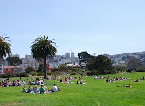
Fort Mason
4.8When the sun comes out in San Francisco, Fort Mason's Great Meadow Park transforms into ground zero for bocce ball, corn hole, wiffle ball, music, dancing, wine, and beer. While it lacks the diversity and quirkiness found at Dolores Park, it makes up for it with a beautiful panoramic view of the ...Read more -
Culver City, California
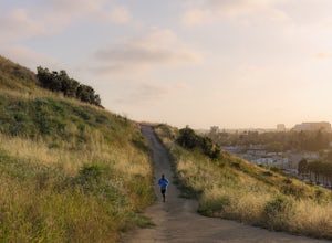
Culver City Stairs
4.11.32 mi / 344 ft gainThe Culver City Stairs are an outdoor staircase designed into the trails leading up to the Baldwin Hills Scenic Overlook. This particular staircase is uniquely constructed to blend into the landscape and is comprised of 282 uneven stairs. The stairs vary in height from 3 inches to nearly 2 ft...s...Read more -
Los Angeles, California
Temescal Canyon Loop
3.93.76 mi / 810 ft gainThere are a couple of different ways that you can hike in Temescal Canyon. For this one, the loop begins from Temescal Canyon Trail at Sunset Boulevard and is approximately 3.76 miles. This loop is not dog friendly. Additional Options for Hiking Temescal Canyon: The basic loop – 2.6 milesTh...Read more -
Laguna Niguel, California
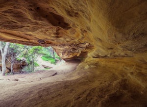
Dripping Cave in the Aliso & Wood Canyons Wilderness
4.47.68 mi / 889 ft gainDripping Cave sits tucked away in a corner of Wood Canyon, part of the Aliso and Wood Canyons Wilderness Park, and the trail to the cave, while short, requires *at least* a 2.25 mile hike in from the nearest trailhead (West Ridge Trail to Mathis Canyon), though this is less than ideal as that rou...Read more -
Stanford, California
Stanford Dish Loop
4.43.67 mi / 472 ft gainIf you live in the Palo Alto area and are looking for a place to hike or run, The Dish is a close, and great way to get that exercise. Located right on the corner of Stanford Ave and Junipero Serra, you'll see that small gated entrance right when you drive on by. As far as parking goes, you're le...Read more -
Malibu, California
Sandstone Peak
4.83.03 mi / 971 ft gainIf you live in Los Angeles, Sandstone Peak is a must! The hike to the summit can be done on a 2 mile hike up and back on Sandstone Peak Trail, or a 6.5 mile hike up and back on Backbone Trail. The shorter trail is more popular, yet both are equally rewarding. You won't believe the views from the...Read more -
Sequoia National Park, California
Hike Moro Rock
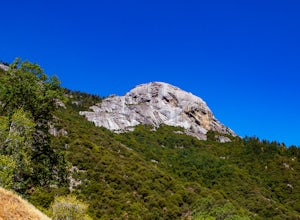
5.0Moro Rock is a granite dome with a staircase leading to the 6,725 foot summit, where you can enjoy a spectacular view of the Great Western Divide. From Generals Hwy, you can drive up Crescent Meadow Road to the parking lot at the base of Moro Rock (summer weekends the road is closed for shuttles ...Read more -
Pearblossom, California
Devil's Punchbowl and Devil's Chair
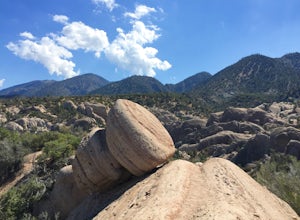
4.57.37 mi / 1870 ft gainWhat a hidden gem! A martian landscape full of faultline desert rock formations and joshua trees against a mountainous backdrop of the San Gabriels. Devil's Punchbowl Natural Area features a 1 mile well-marked, well-maintained single track loop trail inside the Punchbowl (great for kids) and a 7 ...Read more -
Sand Ladder, California
Baker Beach Sand Ladder
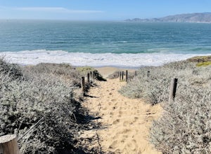
4.40.25 mi / 138 ft gainThe Baker Beach Sand Ladder is a section of the Pacific Coast Trail that is comprised of 200 ten foot poles tied together to form stairs down to North Baker Beach from Lincoln Blvd. If you’re looking for a lung and butt-busting workout, and you’d like a break from your standard routine, you need...Read more -
Berkeley, California
Berkeley Rose Garden
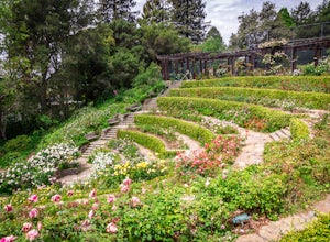
4.0I'm always surprised at how few people know of this beautiful garden. I'm often alone when I visit, which allows for perfect serenity. Visit in early spring for maximum blooms. Park on Euclid Ave, which is where you'll find the entrance to the amphitheater (you can't miss the giant sign). Spend ...Read more -
Half Moon Bay, California
Gray Whale Cove Trail
4.52.23 mi / 367 ft gainGray whale cove trail is a splendid, short, and easy hike for the entire family with beautiful ocean views. The starting point is conveniently located near a parking lot that accesses Montara State Beach. From the south end of the parking lot, follow the trail up through the coastal scrub. Within...Read more -
Redwood City, California
Hike Purisima Creek Redwoods OSP
4.67 miThere are two places to park for this specific loop- the main parking area on Highway 35 (Skyline Boulevard) and a smaller parking lot on the western end of the park. I would recommend parking at whichever is closest. Find directions to both on Openspace.org. From the main parking lot, the trail ...Read more -
Stinson Beach, California
Matt Davis-Coastal Trail Loop
4.76 mi / 2231 ft gainThis hike is an alternative to the famous Matt Davis to Steep Ravine Loop. The hike starts at Stinson Beach, just behind the fire Station. I recommend parking at the Beach parking lot. The Matt Davis trail is one of the best constructed trails I have ever seen. After 2.2 miles, turn left on the ...Read more -
Lake Forest, California
Hike Borrego Canyon to Red Rock Canyon Trails
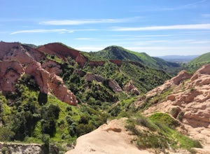
4.64.2 mi / 500 ft gainJust south east of the city of Irvine, on the southern end of Orange County, is the scenic Whiting Ranch Wilderness Park. Don't let the newly developed shopping centers restaurants fool you, because just beyond the parking lot ($3 Daily Use Fee) of the Borrego Canyon Trailhead, you will find your...Read more -
San Diego County, California
Hike to the Goat Canyon Trestle
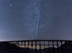
5.07 miThe main attraction of this hike is the wooden trestle. This engineering marvel was built in 1932 and still remains the tallest and longest curved wooden trestle in the U.S.This hike is recommended for the physically and mentally prepared. From Mortero Palms, it's a 3.5 mile (7 miles roundtrip) t...Read more -
Auburn, California
Hike around Coon Creek to Hidden Falls
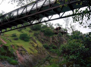
4.58.4 mi / 968 ft gain--Important: 7-day a week parking reservations required until further notice during the COVID-19 crisis. Follow park social distancing measures. Learn more online, https://www.placer.ca.gov/6106/Hidden-Falls-Regional-Park -- Not far from California's capital is Hidden Falls Regional Park. The na...Read more

