Emerald Hills, California
Top Spots in and near Emerald Hills
-
La Honda, California
5.0
12.19 mi
/ 2192 ft gain
The Pescadero Creek Park Complex is a great place to escape for a day or overnight hike in the heart of the Bay Area. You will need to get a permit to stay overnight - these can be attained on a first-come, first-serve basis from the ranger station. Most of the campsites here are also available f...
Read more
-
La Honda, California
There are a bunch of beginner to intermediate mountain biking trails at Skyline Ridge Open Space Preserve (click here for a trail map). There are some beginner mountain biking classes that come here to learn. You can find specific trails that match your ability at MTB Project.
There is a Chris...
Read more
-
Half Moon Bay, California
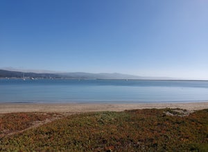
The Half Moon Bay Jetty is a calm place to paddle as it is covered on all sides. There is an opening into the ocean on the far side, but is mostly calm with plenty of beach area to launch. Keep in mind, there are boats in the harbor so keep an eye out. There is also a scenic hike nearby the West ...
Read more
-
La Honda, California
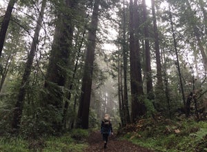
The Brook Trail Loop is a beautiful hike, starting off in Sam McDonald County Park and later entering into Pescadero Creek County Park. This adventure can be done in any season, with the trails almost entirely shaded for even the hottest summer days.
Starting off from the Heritage Grove trailhead...
Read more
-
Half Moon Bay, California
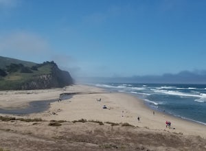
Not a trail per se, but approximately 3 miles (down and back) of beautiful beach to walk down. Lots of interesting caves, wild animals, and rock formations to discover. This is a popular location for sea kayakers. San Gregorio State Beach was originally founded to protect the estuary at the back ...
Read more
-
Half Moon Bay, California
Maverick's beach is most well-known for the Maverick surf competition and the gnarly waves which surface here in the winter months. For the rest of the year, the beach is still a site to see. With huge waves crashing ¼ mile off shore and bluffs towering 100 feet above you, it’s a picturesque plac...
Read more
-
Loma Mar, California
With old growth redwoods and a creek swimming area, Memorial Park is a perfect escape from the hustle and bustle of the Bay Area. Memorial Park is only a few miles east of the town of Pescadero. To get here, you can either approach from Highway 1 and drive up Pescadero Creek Road or take Highway ...
Read more
-
Moss Beach, California
4.7
1.84 mi
/ 154 ft gain
Sitting on a 140 acre bluff top, the Pillar Point Bluffs are a simple, easy hike with breathtaking views throughout. The bluffs are 22 miles from San Francisco – a 30 minute drive depending on the traffic. There is a small 10 car or so parking lot off of Airport Blvd, but there are two additional...
Read more
-
Loma Mar, California
5.0
12.5 mi
/ 1350 ft gain
Pescadero Creek County Park and the connected Sam McDonald and Memorial Park are located deep in the Santa Cruz Mountains holding a vast network of secluded trails. From biking to backpacking, this area is a perfect place for a day or weekend adventure. This area also has the added bonus having r...
Read more
-
Rancho San Antonio Open Space Preserve, California
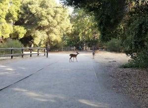
Rancho San Antonio Open Space Preserve has many beginner to intermediate hiking trails. Deer Hollow Farm Trail Loop is a hiking trail for beginners, families, or anyone wanting to go on a short hike with nice views of the bay.
The trail passes by a farm and deer can often be seen wandering aroun...
Read more
-
La Honda, California
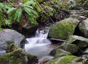
From the parking lot, take the connector trail towards the Peters Creek Trail for 0.4 miles. As you descend into a small valley, notice the sound of running water that appears. When you reach the first trail intersection, turn left on the Peters Creek trail. This will give you your first encounte...
Read more
-
Pacifica, California
5.0
6.77 mi
/ 1900 ft gain
Montara Mountain Trail is a loop trail that takes you through a forest out to ocean views at the top of Montara Mountain. This hike located near Pacifica, California. and can be accessed from Highway 1 as well. If you're looking to do a similar loop hike from the coast, consider Montara Mountain ...
Read more
-
Moss Beach, California
4.5
0.79 mi
/ 105 ft gain
The Cypress Tree Tunnels are a quick jaunt from San Francisco (22 miles) and make for a great half-day trip. Getting here depends on traffic, but 30 minutes from the center of the city is doable. Parking is relatively easy. You can either park at the south end of the area at the Cypress Cove entr...
Read more
-
Moss Beach, California
Located beside a residential neighborhood, Fitzgerald Marine Reserve offers a rare glimpse of life in the northern California intertidal zones. There are parking spaces and restrooms available, as well as ranger-led guided tours.
Be sure to check the tide charts and go during low tide (preferab...
Read more
-
Half Moon Bay, California
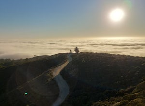
McNee Ranch to Planet of the Apes is a 4.8 mile trail located near Montara State Beach that offers ocean views when it is not too cloudy. You can get amazing views when you hike up above the clouds. This hike follows one of the main trails up the mountain, but there are many smaller trails to e...
Read more
-
San Bruno, California
4.5
3.88 mi
/ 646 ft gain
Starting from the parking lot on Sneath Lane Trail, you’ll head through the gate and continue on the path up Sweeney Ridge. This is a 5.7 mile out-and-back trek. There is a 600 ft. elevation gain, which comes mainly in the first 1.5 miles of the trail. Your legs and lungs may hurt a bit, but if t...
Read more

