El Portal, California
Looking for the best chillin in El Portal? We've got you covered with the top trails, trips, hiking, backpacking, camping and more around El Portal. The detailed guides, photos, and reviews are all submitted by the Outbound community.
Top Chillin Spots in and near El Portal
-
YOSEMITE NATIONAL PARK, California
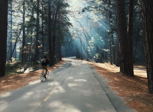
Bike Yosemite Valley
4.012 miBringing my bike to the Valley was one of the best decisions I have made on my many trips there. Everything changed after that visit and there will never be another time (unless in the dead of winter) that my bike will not be there with me. The reason is simple: everything is heightened.When Yose...Read more -
YOSEMITE NATIONAL PARK, California
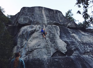
Rock Climb Penthouse Cracks, Yosemite NP
The Penthouse Cracks in Yosemite Valley are a great introduction to crack climbing, in a safe environment. With fixed protection above the routes, you are able to safely top rope these climbs. Featuring a 5.8, two 5.10 climbs, and a 5.11, everyone can find something fun to try.Park at Yosemite Lo...Read more -
Yosemite National Park, California
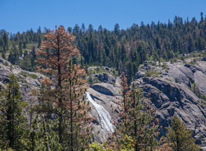
Hike to the Top of Chilnualna Falls
4.39.2 mi / 2300 ft gainMany visitors to Yosemite head straight to the valley and don't often explore the other areas of the park. So if you are interested in staying away from the massive crowds and getting to enjoy the beauty of the park a little more quietly, the Wawona is a great option for a getaway. The Chilnualna...Read more -
Yosemite National Park, California
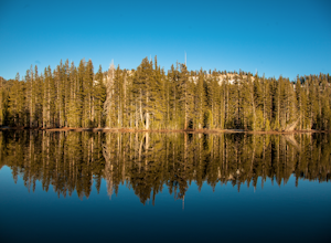
Backpack to Johnson Lake
24 mi / 4500 ft gainYour trek begins at the Chilnualna Falls trailhead in Wawona near the South Gate in Yosemite. The first suggestion I have is to check the weather in the area to make sure you won't be slowed down by rain or snow. It's about 12 miles from the trailhead to the lake and if you are a swift hiker and ...Read more -
Yosemite National Park, California
Backpack to Crescent Lake
20 mi / 4100 ft gainCrescent Lake is another beautiful spot a long the Beuna Vista loop. Starting at the Chilnualna Trailhead in Wawona, you start your journey climbing about 4.6 miles and 2,300 feet to the top of Chilnualna Falls (always a good place to rest). Beyond the falls, continue a long the trail and always ...Read more -
Mariposa County, California
Stargaze and Photograph the Night Sky at Glacier Point
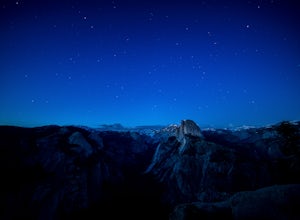
5.0The summer months of June, July, and August tend to provide the best views of the stars, and particularly in August during the meteor showers. Amateur astronomers often gather on Saturdays during the summer, and provide first hand knowledge and guidance. Glacier Point can accommodate hundreds of ...Read more -
YOSEMITE NATIONAL PARK, California
Photograph Stoneman Bridge in Yosemite NP
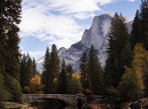
4.5This location turned out to be one of our favorite unplanned stops in the Yosemite Valley to photograph and explore.Stoneman Bridge was constructed in 1933 and spans 72 feet long. The Merced River flows under this classic stone bridge providing very photogenic reflections, with Half Dome in the b...Read more -
Groveland, California
Rainbow Pool
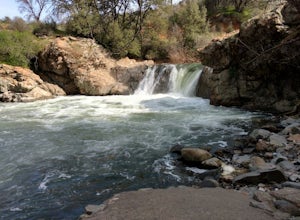
4.5Finding Rainbow Pool is a little tricky, since it is off the side of a highway, but when you find it there is parking and bathrooms. There is a easy walkway to get down to the pool itself, and trails to climb to the top to slide or jump off the rocks. Many people tend to fish up top underneath th...Read more -
Mariposa County, California
Grant Lake via Ten Lakes Trailhead
4.012.24 mi / 2000 ft gainThe trail begins at the Ten Lakes trailhead (7600 ft) right beside Yosemite Creek. The first 4 miles start you on the ascent through the wooded forest, however there are portions of the trail that will take you through granite rock valleys marked with only cairns so keep your eyes peeled througho...Read more -
Oakhurst, California
Hike the Shadow of the Giants Trail
4.01.1 mi / 85 ft gainThe Shadow of the Giants National Recreation trail is an amazing 1.1 mile self-guided hike through the heart of Nelder Grove. Take Hwy 41 north from Fresno; continue thru Oakhurst to Sky Ranch Road (6S10 or Forest Road 10) travel approx. 5 miles to Nelder Grove, when you reach the camp area take ...Read more -
Oakhurst, California
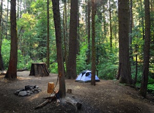
Camp at Nelder Grove Campground in Sierra National Forest
0 mi / 0 ft gainSites are located along Willow Creek with plenty of shape. Right out of the campground you can hike nearby Bull Buck Trail and discover the giant sequoia trees. This is a first-come first-serve campground so arrive early.Directions: Take Hwy 41 north from Fresno; continue thru Oakhurst to Sky Ran...Read more -
Yosemite Valley, California
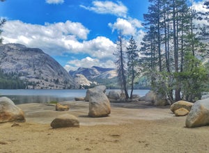
Tenaya Lake
4.63.08 mi / 0 ft gainTenaya Lake is located alongside Tioga Road in the park's Tuolumne Meadows region. There is a family-friendly trail that surrounds the lake. Though some spots along the trail on the western shore may require fording the waters, the 2.5-mile trip is an easy hike for all to enjoy. Many others pre...Read more -
Groveland, California
Drive the Yosemite Valley Loop
4.3Upon entering Yosemite Valley National Park I made it a point to see Half Dome, El Capitan, and Washington Column and several other famous Yosemite formations. What I didn't realize was as soon as I entered The Village was that all could be seen within a 15 minute loop around the valley floor. Th...Read more -
37.872112,-119.370472
Hike to Waterwheel Falls
17.32 miWaterwheel Falls may be the most unique waterfall in Yosemite. During high waterflow an extraordinary phenomenon appears as the raging water hits a series of ledges creating a plume, this coupled with strong gust blowing upward create cyclical "waterwheel" effect hence the name. On a good day th...Read more -
Tuolumne County, California
Backpack to Nelson Lake
17 mi / 1000 ft gainHead to any Yosemite wilderness station for a map, bear canister, and permit for Nelson Lake. The trail itself starts in the Tuolumne Campground at Elizabeth Lake trailhead. Follow the trail 2.2 miles up to Elizabeth Lake and remember the lake itself is in a no-camping zone, so you must continue ...Read more -
Tuolumne County, California
Camp at Tuolumne Meadows Campground
5.0Tuolumne Meadows is on Tioga road northeast of Yosemite Valley, at elevation 8,600 feet. Sites are available July-September at $26. Dogs are allowed but be sure to pack the leash! More info: https://www.nps.gov/yose/plany...Read more

