El Dorado County, California
El Dorado County, California, is home to some of the top outdoor adventures and must-visit attractions. For hiking aficionados, the Horsetail Falls trail is a popular choice. This 3-mile round trip trail offers scenic views of the beautiful waterfall and the surrounding wilderness. The trail can be challenging, with steep inclines and rocky terrain, but the views of the falls are well worth the effort. Another excellent trail is the Rubicon Trail, known for its stunning lake views and unique rock formations. This trail stretches 22 miles and is ideal for experienced hikers. For a more relaxed outdoor activity, try fishing in the American River or exploring the historic Marshall Gold Discovery State Historic Park. These are just a few examples of the best trails and outdoor activities in El Dorado County.
Top Spots in and near El Dorado County
-
South Lake Tahoe, California
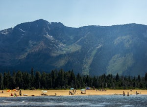
Chillin at Lake Tahoe's Kiva Beach
4.7Kiva is a secluded sandy crescent beach flanked by a beautiful meadow and mountain backdrop. This beach is rarely crowded and has free parking unlike other beaches in Tahoe. Kiva is a great place to bring dogs and is actually well known as a dog beach. Kiva is also accessible from the bike trail...Read more -
South Lake Tahoe, California
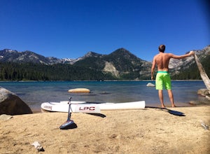
Paddle from Kiva Beach to Emerald Bay
4.0Grab your paddleboard or rent one from Baldwin Beach, and head out along the southwest shores of Lake Tahoe towards Emerald Bay. Enjoy the pristine blue water and keep your head up for the occasional osprey or bald eagle.Once you make it to the bay, there are plenty of places to go. You can relax...Read more -
South Lake Tahoe, California
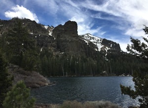
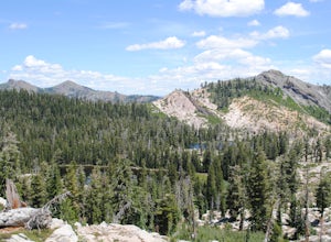
Hike to Round Lake through Big Meadow
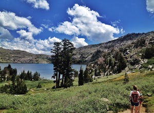
3 mi / 1197 ft gainYou will start out at the Big Meadow trailhead at the Luther Pass parking lot. It's three miles one way. Near the end of the hike just before the lake the rock formations are prime...big trees, a crystal stream. The trail is well defined and easy going even though it's an 1100 foot gain in eleva...Read more -
South Lake Tahoe, California
Tahoe Rim Trail (TRT): Big Meadow to Echo Summit
17.51 mi / 2949 ft gainTahoe Rim Trail (TRT): Big Meadow to Echo Summit is a point-to-point trail that takes you by a lake located near South Lake Tahoe, California.Read more -
South Lake Tahoe, California
Meiss and Round Lake via Tahoe Rim Trail
10.5 mi / 1257 ft gainMeiss and Round Lake via Tahoe Rim Trail is an out-and-back trail that takes you by a lake located near Kirkwood, California.Read more -
Nevada City, California
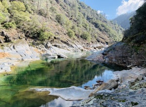
Swim at Edwards Crossing on the South Yuba River
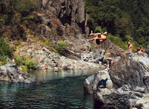
5.02.74 mi / 1302 ft gainThere are endless swimming holes on the South Yuba River the feature crystal clear water, massive granite boulders and pristine pocket beaches, particularly those lower in the foothills. Many are separated by sections of rapids, but can be reached via the growing trail system of the South Yuba Ri...Read more -
Alpine County, California
Hike to Round Top Peak
5.09 mi / 1821 ft gainThis hike begins at Carson Pass which is accessible from Highway 88. The trail leaves from the parking lot (parking requires a fee of $5) and is easy to follow. After about a mile, you'll pass Frog Lake on the left, which is a nice place to stop for a quick snack.Continue along the trail and stay...Read more -
Truckee, California
The Five Lakes Hike
4.0The Five Lakes Trail is located in the Granite Chief Wilderness in between Alpine Meadows and Squaw Valley ski resorts and is easily accessible at the intersection of Alpine Meadows and Deer Park roads. The 5-mile moderate trail ascends approximately 900-1000 ft. along granite canyons and pine f...Read more -
Truckee, California
Ski Outer Outer Limits at Alpine Meadows
Starting off of Lakeview chair at Alpine Meadows, head to the far right towards the sign for Outer Limits run. Traverse across the run and past the Ski Area Boundary signs on the far side. Continue through the trees where you will find a series of clearings generally full of untracked powder. The...Read more -
Olympic Valley, California
Hike to Lake Estelle and Five Lakes
6 mi / 1000 ft gainThis hike starts at Alpine Meadows Base Camp and finishes on Alpine Meadows Road. The end point is less than a half mile from the base, and an easy walk up a slight hill. Park at base camp and head on the trail to the far right of all of the lifts. Proceed up the trail for half a mile (this is th...Read more -
Nevada City, California
South Yuba River: Edwards Crossing to Purdon Crossing
5.04.2 mi / 639 ft gainSouth Yuba River: Edwards Crossing to Purdon Crossing is a point-to-point trail that takes you by a river located near North San Juan, California.Read more -
South Lake Tahoe, California
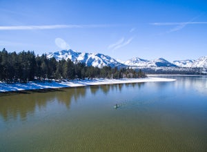
Winter Paddle From Camp Richardson to Kiva Beach
Starting at Camp Rich you might get some weird looks at the start, but it is all worth it! As you look out at the lake all you see is the beautiful crystal clear water reflecting the gorgeous snow covered mountains. As you throw your board in the water you begin your paddle along the shoreline. T...Read more -
Emigrant Gap, California
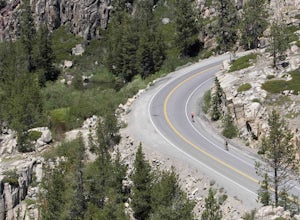
33mi Loop to Donner Lake
33 miWe love this 33-mile loop on old Highway 40 from Cisco Grove to Donner Lake and back. It has just about everything: a few flats, a long slow pull, rollers, a screaming downhill, a tough Alpine climb and a long, cruising downhill. Not to mention altitude. The ride starts at a little above 6,000 fe...Read more -
Homewood, California
Eagle Rock
4.00.84 mi / 105 ft gainStarting at an outcrop off Highway 89 in Tahoe Pines, hikers make their way up the trail through a gradually sloping forest. Climbing rocks and logs, it is strenuous at times but only takes about 15-20 minutes to accomplish. Once at the top, the elevation is 6,286 feet and consists of an absolute...Read more -
Emigrant Gap, California
Loch Leven Viewpoint Trail
5.06.41 mi / 1522 ft gainLoch Leven Viewpoint Trail is an out-and-back trail to a viewpoint of the Loch Leven Lakes that is moderately difficult located near Truckee, California. This trail is just under 6.5 miles. If you're willing to add a little more than a mile to your adventure, you can head all the way to Upper Loc...Read more -
Loch Leven Lakes Trailhead, California
Loch Leven Lakes Trail
4.47.6 mi / 1480 ft gainThe trail is easy to follow for the first half mile until you get to some large slabs of granite. As you continue up the trail look for stacked rocks, these will give you a an easy route as you continue up the mountain. The trail then starts to switch back eventually leading to a small bridge. Af...Read more

