El Dorado County, California
El Dorado County, California, is home to some of the top outdoor adventures and must-visit attractions. For hiking aficionados, the Horsetail Falls trail is a popular choice. This 3-mile round trip trail offers scenic views of the beautiful waterfall and the surrounding wilderness. The trail can be challenging, with steep inclines and rocky terrain, but the views of the falls are well worth the effort. Another excellent trail is the Rubicon Trail, known for its stunning lake views and unique rock formations. This trail stretches 22 miles and is ideal for experienced hikers. For a more relaxed outdoor activity, try fishing in the American River or exploring the historic Marshall Gold Discovery State Historic Park. These are just a few examples of the best trails and outdoor activities in El Dorado County.
Top Spots in and near El Dorado County
-
Echo Lake, California
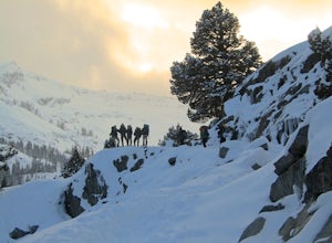
Cross-Country Ski or Snowshoe to Ralston Peak
5.0This loop is best accomplished in 2 days, spending a night at either Ralston, Tamarack, or Cagwin Lake. Although this route is similar to hiking Ralston Peak in the summer, the trails are completely covered by snow so solid navigation skills are necessary. A map is required to find the best possi...Read more -
Echo Lake, California
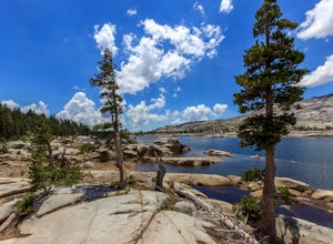
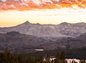
Lake Aloha
4.012.34 mi / 1552 ft gainYou'll start the hike at the Echo Lakes trailhead, just off of Highway 50 in Lake Tahoe. The trail meanders past Lower and Upper Echo Lakes, slowly gaining altitude as you pass a smattering of summer cabins. The climb is enough to make you feel it, but before you know it, it's over. Once cresti...Read more -
Echo Lake, California
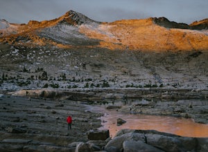
Explore the Alpine Lakes of Desolation Wilderness
5.0This incredible hike offers you the opportunity to visit the heart of desolation without climbing more than about 600 feet of elevation. Begin at the boat taxi at Lower Echo Lake. The taxi costs $12/person each way and is $5 each-way for your furry friend. The taxi leaves the dock at frequent int...Read more -
Echo Lake, California
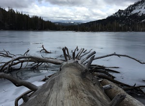
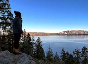
Hike the Echo Lake Trail
4.05 mi / 688 ft gainThe Echo Lakes Trail goes through California's Desolation Wilderness and features incredible views. This trail is rated as moderate, and is best for excited beginners or intermediate hikers. This hike takes roughly 3.5-4 hours. Dogs are allowed on trail if kept on leash. The trail is best used fr...Read more -
Echo Lake, California
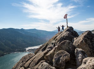
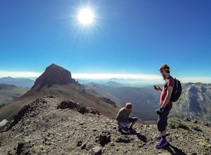
Hike Flagpole Peak from the bottom of Echo Summit
3.5 mi / 1900 ft gainFor this hike there are two places you can start from. One is at the Echo Lakes parking lot and the other is at the bottom of Echo Summit (where we started at). Parking at the gun tower at the bottom of Echo Summit you'll be looking right at the face of Flagpole. After parking just off the side o...Read more -
South Lake Tahoe, California
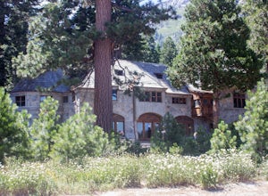
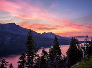
Explore Lake Tahoe's Vikingsholm Castle
4.0The drive to the location of Vikingsholm was beautiful with spectacular views of Lake Tahoe and Emerald Bay, when approached from South Lake Tahoe. The hike down the hill to see this gem was worth it but could be hard for some (because the only return is up this somewhat steep path with switchbac...Read more -
South Lake Tahoe, California
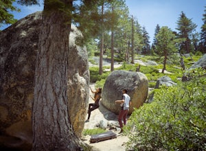
Boulder at D.L. Bliss State Park
This place is bouldering heaven. Short approach to the first boulders, challenging routes for every level, good landings, and set in a beautiful area. It's like Bishop, but without the long drive.Technically you can come anytime in the season, but it is highly suggested to get a morning session i...Read more -
South Lake Tahoe, California
D.L. Bliss State Park to Emerald Bay State Park via Rubicon Trail
7.21 mi / 1424 ft gainD.L. Bliss State Park to Emerald Bay State Park via Rubicon Trail is an out-and-back trail that takes you by a lake located near Tahoma, California.Read more -
Tuolumne County, California
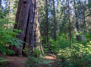
Hike the South Grove Trail in Big Trees SP
3.75 mi / 560 ft gainThe South Grove Trail of Calaveras Big Trees State Park sees far less traffic than the North Grove due to its increased mileage and distance from the park entrance. The trail starts at the South Grove Trail head which is located nine miles east of the entrance on the main park road. The trailhead...Read more -
South Lake Tahoe, California
Hike Mount Tallac
4.99.5 mi / 3255 ft gainThe classic 9½ mile out-and-back day hike to Mount Tallac begins at the trailhead on the southwestern side of Lake Tahoe, between Emerald Bay and Camp Richardson. When driving to the trailhead, make a turn inland at Mt. Tallac Road and follow the well-signed route to the reasonably sized parking ...Read more -
South Lake Tahoe, California
Capture the Sunset at the Angora Ridge Fire Lookout
The Angora Ridge Fire lookout sits above the serene Fallen Leaf Lake with incredible views of Mt. Tallac and Desolation Wilderness. You can hike, bike or drive to the lookout. This is a great spot to photograph the sunset, as the sky will reflect off both Fallen Leaf Lake and Lake Tahoe. Bring a ...Read more -
Alpine County, California
Hike The Sisters in the Mokelumnee Wilderness
8 mi / 2500 ft gainThe Sisters offer a great day hike with fun scrambling and beautiful views of the Northern Sierra, Lake Tahoe, the Mokelumnee Wilderness, and the Carson River Canyon.The trail to The Sisters begins at Woods Lake (38.6855° N, 120.0095° W), at the end of Woods Lake Road off Highway 88, 1.5 miles we...Read more -
Alpine County, California
Hike Round Top Summit and Winnemucca Lake Loop
6.6 mi / 1272 ft gainThis hike begins near the Woods Lake campground. Start off by hiking towards Winnemucca Lake. You will begin your journey going through the forest beside a crystal-clear stream. Soon the trail opens up to become more open, full of all colours of wild flowers. You follow this breathtaking trail up...Read more -
Placer County, California
Paddle Lake Valley Reservoir
A perfect adventure spot off Highway 80, Lake Valley Reservoir offers paddlers prime parking and a paved boat launch to push off on a mountain lake with an island for picnicking. Lake speed is 10 mph so fishing boats with outboards are allowed but they have to take it slow. Post launch, head le...Read more -
South Lake Tahoe, California
Baldwin Beach
4.5Baldwin Beach offers a half mile of views of Lake Tahoe and the Sierra Nevada mountains. People come to this beach to relax and picnic. This is also a popular launch spot for those kayaking or stand up paddling to Emerald Bay. This beach is on national forest land and has a parking fee of $8.00...Read more -
South Lake Tahoe, California
Paddle from Baldwin Beach to Emerald Bay
4.0Explore Lake Tahoe's southern shores by paddling from Baldwin Beach to Emerald Bay. There are many places to stop along the way for photographs, snorkelling, or swimming. The more popular ways to paddle from Baldwin Beach to Emerald Bay are by SUP or kayaks. But paddling a foamie can be extra f...Read more

