Culver City, California
Looking for the best hiking in Culver City? We've got you covered with the top trails, trips, hiking, backpacking, camping and more around Culver City. The detailed guides, photos, and reviews are all submitted by the Outbound community.
Top Hiking Spots in and near Culver City
-
Burbank, California
Old Youth Camp Loop
2.59 mi / 732 ft gainThe Old Youth Camp Loop is a 2.6-mile loop with over 700 feet of elevation gain that can be ran, hiked, or even mountain biked if you prefer. While not completely empty the area receives very little visitors and is a great place to enjoy a little more solitude than near by hiking locations. The l...Read more -
Topanga, California
Top of Topanga Overlook
1 mi / 1613 ft gainThe Top of Topanga Overlook is where you can simply park your car, and sit in one of the benches to view the San Fernando Valley. But there is one hiking trail in that area which lets you get better vantage points, as well as a quick workout. Once you get to the overlook, park your car and safel...Read more -
Calabasas, California
Hike and Rock Climb at Saddle Peak
5.0This is one of my favorite hikes in the Los Angeles area. Super easy, yet beautiful and a perfect place to get away from the city.Parking for the trailhead is where the three roads intersect. The parking area is a long strip of dirt, there will most likely be cars there when you arrive already th...Read more -
Glendale, California
Beaudry Loop
5.79 mi / 1572 ft gainThe Beaudry Loop trail features a bench at the top with 360 degree views of the greater LA area. The trailhead is a little hidden on Beaudry Blvd. As Beaudry Blvd turns into Beaudry Terrace, you'll see cars parked at the paved trailhead. There is very little shade on the trail so bring ample sun...Read more -
Topanga, California
Red Rock Canyon to Calabasas Peak
4.04.53 mi / 1004 ft gainWhen you get to the parking lot be sure to pay the $5 parking fee. You will need to place this in the provided envelope and drop it in the iron ranger. Start the hike by following the fire road behind the gate. About a couple of yards in, you will see a trail on your left which leads to a ghoul...Read more -
Topanga, California
Calabasas Peak Motorway
7.23 mi / 1565 ft gainGetting There You can, from Los Angeles, go one of three ways: take I-405 to US-101 and head west, or from downtown, take US-101 the whole way, OR, get on I-10 from the Westside or east of there and take that until it becomes PCH, then take that to Topanga Canyon (turn left onto Old Topanga Cany...Read more -
Palos Verdes Estates, California
Bluff Cove
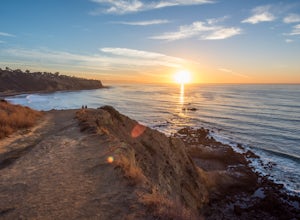
4.40.56 mi / 144 ft gainParking for Bluff Cove is located along the sides of the street of Paseo Del Mar, and the trailhead is located right next to the street. Bluff Cove is one of those unique locations in that there are a variety of activities you can do here. It is a great location for surfing, paddle boarding, bod...Read more -
Los Angeles, California
Verdugo Peak via Hostetter Fire Road
5.07.39 mi / 1627 ft gainVerdugo Peak, at 3000 feet, is accessible from multiple directions and trails along the Verdugo Range. The most direct route to the top is Hostetter Fire Road, a 3.6-mile hard-packed dirt trail that climbs 1600 feet to the 3,126-foot summit. The hike begins at the dirt parking lot off of La Tuna ...Read more -
Pasadena, California
Arroyo Terrace Trail
5.01.54 mi / 194 ft gainArroyo Terrace Trail is a loop trail that takes you by a river located near Pasadena, California.Read more -
Malibu, California
The Malibu Lagoon State Beach
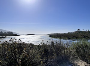
5.02.11 mi / 98 ft gainThe Malibu Lagoon State Beach is a loop trail that takes you past scenic surroundings located near Malibu, California.Read more -
Rancho Palos Verdes, California
Burma Road Trail & Ishibashi Trail Loop
4.35.09 mi / 1148 ft gainGetting There: The easiest way to get to Portuguese Bend Nature Reserve is by following Crenshaw Boulevard up Rancho Palos Verdes to the very end of the street. You can park on either side of the street near Del Cerro Park, which also happens to be a great place for picnics if you want to eat bef...Read more -
Agoura Hills, California
Camp at Malibu Creek State Park
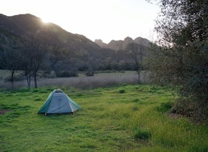
5.0Malibu Creek State Park boasts over 8,000 acres of oak woodlands, grassy hills, dramatic peaks and serene meadows. It's an outdoor lover's paradise and only a short drive north from most of Los Angeles. Before it was a park, the land was owned by 20th Century Fox Studios and used in productions...Read more -
San Fernando, California
Pacoima Park Natural Wash Park
0.54 mi / 13 ft gainPacoima Park Natural Wash Park makes for a wonderful & pleasant walk. The entrance to the park is located at the corner of Newton St and 8th St and runs up to Foothill Blvd in San Fernando California. The park is ADA accessible and allows for dogs on leash. There are also picnic tables and dr...Read more -
Agoura Hills, California
Malibu Creek Rock Pool
3.92.04 mi / 105 ft gainThe trail starts out from the main parking lot past the ranger station at Malibu Creek State Park. Begin hiking west on Crags Road, a well maintained trail that meanders along the creek. As you walk, you'll pass under large oak trees and enjoy expansive views of the Santa Monica Mountains. Aft...Read more -
Agoura Hills, California
Rock Climbing in Malibu Creek
A great day trip! Referred to by many as the "Yosemite of Southern California," Malibu Creek offers a huge selection of bolted sport routes on generously pocketed volcanic rock. This is the perfect place to bring a first time climber or even your most seasoned climbing buddies. Routes range from ...Read more -
La Cañada Flintridge, California
Teepee Trail
5.02.55 mi / 1145 ft gainHidden in the small community of La Canada, California, the trailhead is pretty hidden! From the 210, take the exit for Highway 2/Angeles Crest Highway. Head north (towards the mountains) for about a mile. As the highway begins to curve, you will come across a small side-street, Harter Lane. Turn...Read more


