Claremont, California
Looking for the best running in Claremont? We've got you covered with the top trails, trips, hiking, backpacking, camping and more around Claremont. The detailed guides, photos, and reviews are all submitted by the Outbound community.
Top Running Spots in and near Claremont
-
Laguna Beach, California
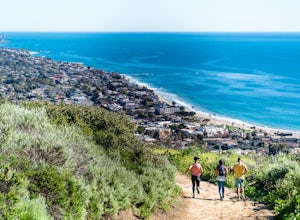
Water Tank Trail
4.33.05 mi / 502 ft gainThere a numerous trails in the Laguna Coast Wilderness that proceed up and along the ridges and down into the canyons (or the reverse), and most are excellent for hiking, trail running, and mountain biking. A classic out-and-back (with many options for loops) begins in Irvine Bowl Park at the en...Read more -
Canyon Lake, California
Kabian Memorial Park Loop
5.03.48 mi / 335 ft gainKabian Memorial Park Loop is a loop trail that takes you by a lake located near Quail Valley, California.Read more -
Culver City, California
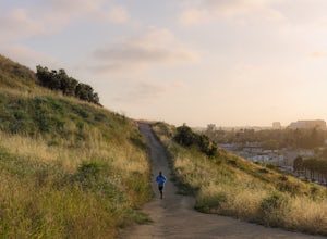
Culver City Stairs
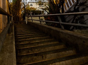
4.11.32 mi / 344 ft gainThe Culver City Stairs are an outdoor staircase designed into the trails leading up to the Baldwin Hills Scenic Overlook. This particular staircase is uniquely constructed to blend into the landscape and is comprised of 282 uneven stairs. The stairs vary in height from 3 inches to nearly 2 ft...s...Read more -
Trabuco Canyon, California
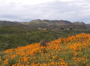
Bell Canyon Trail
3.86 mi / 102 ft gainBell Canyon Trail is an out-and-back trail where you may see wildflowers located near San Juan Capistrano, California.Read more -
Laguna Beach, California
Aliso Peak via the Valido Trail
5.01.14 mi / 325 ft gainThe Valido Trail trailhead can be found just off West street off the Pacific Coast Highway, just south of Aliso Beach. Park on West Street past the trailhead. The trail proceeds approximate .5 miles till it intersects with the Aliso Peak Trail. Go left .4 miles to the obvious summit and wooden p...Read more -
Lancaster, California
Little Butte Trail
4.02.09 mi / 213 ft gainLittle Butte Trail is an out-and-back trail that is moderately difficult located near Llano, California.Read more -
Los Angeles, California
Venice Canals
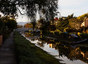
4.32.77 mi / 30 ft gainThe canals are a fun and quiet place to relax away from the hectic Venice boardwalk. Take a stroll through the canals or even get in a run! The reflections in the water are the main attraction and are great for photography. Spring, after some rain, is the best time to go as the water levels are g...Read more -
Dana Point, California
Walk the Dana Point Preserve Trail
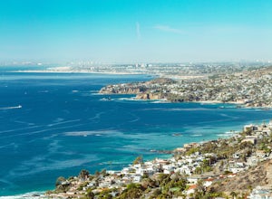
5.00.5 miOcean views the whole time, plenty of wildlife and different species of native plants make this short hike beautiful. With the hike being short enough to complete in the afternoon after a day at the beach you can see a beautiful view of the coastline north and south. There is plenty of parking in...Read more -
Fawnskin, California
Castle Rock Trail at Big Bear Lake
4.52.7 mi / 719 ft gainFollow the directions to the trail head, and park on the side of the road. You will see a sign that says Castle Rock Trail, and the path is directly behind that sign. The hike up to the peak is steep, sandy, and very rocky, so shoes with good traction is recommended. There are also lots of oak a...Read more -
Santa Monica, California
Santa Monica Pier, Boardwalk, and Beach Trail
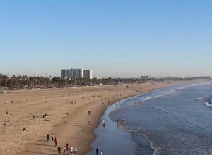
4.03.33 mi / 20 ft gainThe Santa Monica Pier, Boardwalk, and Beach Trail in Santa Monica, California, offers a unique blend of coastal and urban hiking. The trail is a flat, paved 3.33-mile loop that is suitable for all skill levels. It starts at the Santa Monica Pier, a historic landmark known for its Ferris wheel and...Read more -
Los Angeles, California
Canyonback Nike Loop
4.06.02 mi / 1693 ft gainCanyonback Nike Loop is a loop trail that takes you by a river located near Encino, California.Read more -
Los Angeles, California
Sepulveda Basin: Upstream Of Balboa
4.03.7 mi / 75 ft gainSepulveda Basin: Upstream Of Balboa is a loop trail that takes you by a river located near Encino, California.Read more -
1501 Will Rogers State Park Road, California
Backbone Trail via Will Rogers State Park
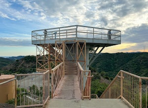
5.03.02 mi / 656 ft gainYou'll make your way up Will Rogers State Park Road, located just minutes from Santa Monica, Brentwood, Westwood, Malibu, Palisades, and much of west Los Angeles. Once on the road, head all the way to the top and you'll dead end into the parking lot. Always worth supporting State Parks with the p...Read more -
Los Angeles, California
Inspiration Point Loop Trail
2.36 mi / 486 ft gainThe Inspiration Point 2.3 mile loop hike in Will Rogers State Park is a family-friendly hike or after-work run near Los Angeles, California. It’s a great dirt trail for all skill levels and features scenic views and beautifully budding wildflowers. You’ll get to escape the city and take in the br...Read more -
Santa Monica, California
Run the Santa Monica Concrete Stairs
3.00.1 mi / 111 ft gainThe concrete Santa Monica Stairs are a great way to get in some intense leg burning cardio. There are around 170 steps that are wider and easier than the Santa Monica wooden staircase.This place has been a hot spot in the Santa Monica fitness scene for some time so it is also a good place for mee...Read more -
Forest Falls, California
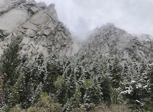
Vivian Creek Trail to San Gorgonio Peak
17.83 mi / 5627 ft gainVivian Creek Trail to San Gorgonio Peak is an out-and-back trail that takes you by a waterfall located near Forest Falls, California.Read more

