Carmel Valley, California
The best Trails and Outdoor Activities in Carmel Valley, California, offer a variety of top outdoor adventures. The Garland Ranch Regional Park is a must-visit for its scenic hiking trails that wind through dense forests, steep canyons, and along the Carmel River. The park is home to unique rock formations and a waterfall, providing a challenging yet rewarding hike. Nearby, the Palo Corona Regional Park offers more leisurely walks with panoramic views of the Pacific Ocean. For a different kind of outdoor activity, try horseback riding at the Carmel Valley Ranch or visit the Earthbound Farm Stand for a farm tour. These attractions make Carmel Valley a top destination for outdoor adventure.
Top Spots in and near Carmel Valley
-
Capitola, California
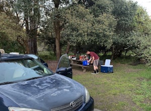
Camp at New Brighton Campground
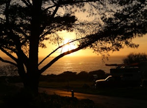
/ 0 ft gainThis Capitola camping spot is the place to be if you're looking to do a variety of activities in a variety of landscapes. You can swim, fish, or explore the nearby forest of Monterey Pine and coastal Oak. In the evening, walk into Capitola for live music and great fish tacos. The S.S. Palo Alto,...Read more -
Santa Cruz, California
A Beach Bonfire in Santa Cruz at Twin Lakes SB
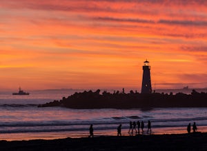
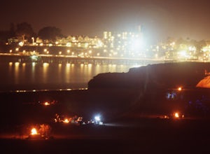
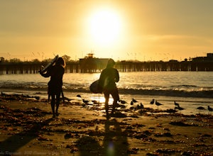
This one-mile stretch of beach is the perfect option for those looking for a peaceful Santa Cruz experience, but without the crowds. The beach features soft sand, playful surf, an awesome view of Walton Lighthouse, and a handful of fire pits to choose from. It's a great spot to spend the entire d...Read more -
Santa Cruz, California
Beach Day at Lighthouse Field State Beach
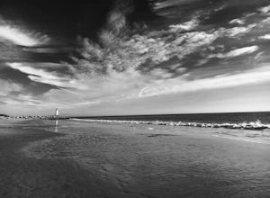
4.0This beach is less crowded compared to other beaches in Santa Cruz. I got there early on a Saturday and found easy street parking. There was plenty of space to spread out on the soft sand. Later in the day I saw dolphins several times! This is close to the Santa Cruz Surfing Museum. It’s als...Read more -
Santa Cruz, California
Bonfire at Seabright State Beach
5.0This is a wide, beautiful beach that's an amazing spot to spend the day and enjoy a bonfire at night. Seabright is probably the most popular spot in Santa Cruz for a bonfire, due to its convenient proximity to the Beach Boardwalk. But luckily, this beach is tucked in between the San Lorenzo River...Read more -
Big Sur, California
Goat Camp via Twitchwell Flat Use Trail
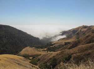
5.09.2 mi / 3852 ft gainTo find this trailhead, head down Highway 1 towards Limekiln State Park Campground. Between Lucia and Limekiln, there should be a shoulder off the side of the road to park overnight. Cross the street to the trailhead of Twitchwell Flat Use Trail. Bear in mind that there is abundant poison oak alo...Read more -
Santa Cruz, California
Surf Cowell's Cove
4.8Cowell's Cove is located just south of Santa Cruz’s iconic Steamer Lane. The break is a slow pealing right, and is a very user-friendly wave for beginners. It can get crowded on weekends, especially when it's sunny, but no need to worry, there are a lot people out on foam boards and most are begi...Read more -
Aptos, California
Hike to Nisene Marks' Maple Falls
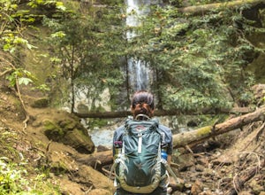
4.68.5 mi / 900 ft gainAs you enter the park, you'll need to pay $8 for parking via a self-pay envelope, so it's recommended that you bring exact change. At the park booth, be sure to grab a map. The hike can be a little tricky with no cell service and limited trail signage. Once you've grabbed your map, keep driving p...Read more -
Big Sur, California
3 Branches of the Limekiln
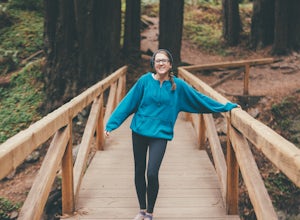
4.01.98 mi / 696 ft gainThe Limekiln Trails offer up a moderate hike with defined trails, creek crossings, and limited elevation. From the parking area, head east under the canopy of redwoods until you get to the bridge, where there’s a kiosk marking the trail. The three branches are ~0.5 miles each, making it easy to ...Read more -
Big Sur, California
Camping at Limekiln State Park
4.3This campsite is split into two sections and is located directly below a bridge along Route 1 the Pacific Coast Highway. Be cautious turning into the park as the incline and turn are quite serious.Below the bridge are campsites located both along the tree line and tiered up along the hill. Under ...Read more -
Santa Cruz, California
Natural Bridges State Beach
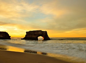
4.3Natural Bridges State Beach is a wonderful place to photograph located in Santa Cruz off of West Cliff Drive. This is a great place to practice long exposure photography to capture awesome water movement as it passes through the "Natural Bridge" formation. The best time to shoot this spot is at ...Read more -
Santa Cruz, California
Surf at Natural Bridges State Beach
4.5Natural Bridges is off of West Cliff Drive to the north of popular Santa Cruz break, Steamer Lane. The break is a right point break, which breaks on a rocky shelf and reef. The break is best during sizable swells (NW, SW, and West) and a low tide. Be sure to check the wind, this break gets blown ...Read more -
Santa Cruz, California
Photograph Monarch Butterflies at Natural Bridges' Monarch Grove
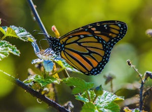
4.3The park's Monarch Grove provides a temporary home for thousands of Monarchs. From late fall into winter they make this their home and if you time it perfectly you can see them in clusters in the trees. When you reached the Natural Bridges State Park, on the right of the Visitors Center you'll f...Read more -
Soquel, California
Land of Medicine Buddha Loop
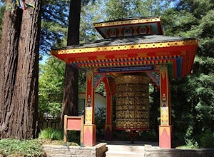
4.55.74 mi / 915 ft gainNear the retreat, there is a short trail called "Eight Verses Pilgrimage Trail" providing people with the opportunity to meditate on thought transformation in a peaceful and picturesque outdoor setting. From there, a beautiful 6 mile loop will take you up to the top of the ridge and then back aro...Read more -
Santa Cruz, California
Hike Natural Bridges to Lighthouse Field
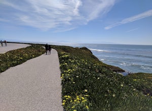
3.54.8 mi / 121 ft gainThis is a paved trail that can be used for hiking, jogging, or walking. It offers over 2 miles of beautiful California coast. Walk through flowers, see the jagged cliffs, and of course the lighthouse at the end! This walk can be done from either direction. Start at Natural Bridges and head We...Read more -
Big Sur, California
Clifftop Camping & Hot Springs in Big Sur
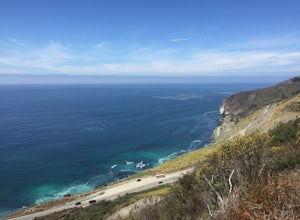
4.7Campsite:There is nothing quite like driving or biking along US-1, the Pacific Coast Highway. Make sure you get a chance to do the drive during the day so that you can see all that Big Sur has to offer. Be careful when pulling off especially onto the shoulder and never stop on a curve in the road...Read more -
Big Sur, California
Hike from Kirk Creek Campground to Vicente Flat Trail
10.9 mi / 3454 ft gainThe Vicente Flat Trail is well kept and wide, with many campsites at the end. This trail is very close to Cone Peak, and is used for mountain biking, trail running, birding, and nature trips.Read more

