Burlingame, California
Looking for the best photography in Burlingame? We've got you covered with the top trails, trips, hiking, backpacking, camping and more around Burlingame. The detailed guides, photos, and reviews are all submitted by the Outbound community.
Top Photography Spots in and near Burlingame
-
Santa Cruz, California
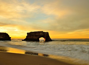
Natural Bridges State Beach
4.3Natural Bridges State Beach is a wonderful place to photograph located in Santa Cruz off of West Cliff Drive. This is a great place to practice long exposure photography to capture awesome water movement as it passes through the "Natural Bridge" formation. The best time to shoot this spot is at ...Read more -
Santa Cruz, California
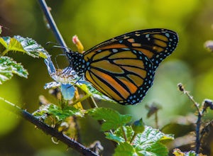
Photograph Monarch Butterflies at Natural Bridges' Monarch Grove
4.3The park's Monarch Grove provides a temporary home for thousands of Monarchs. From late fall into winter they make this their home and if you time it perfectly you can see them in clusters in the trees. When you reached the Natural Bridges State Park, on the right of the Visitors Center you'll f...Read more -
Santa Cruz, California
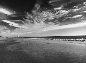
Beach Day at Lighthouse Field State Beach
4.0This beach is less crowded compared to other beaches in Santa Cruz. I got there early on a Saturday and found easy street parking. There was plenty of space to spread out on the soft sand. Later in the day I saw dolphins several times! This is close to the Santa Cruz Surfing Museum. It’s als...Read more -
Inverness, California
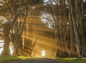
Photograph the Cypress Tree Tunnel in Point Reyes
4.3Just north of San Francisco, there's a row of giant Monterey cypress trees that forms a “tree tunnel”. Loved by Bay Area locals, it's a tucked away spot in the Point Reyes National Seashore for photographers to capture early morning sun rays, or for anyone to get some moments of solitude. At the ...Read more -
Aptos, California
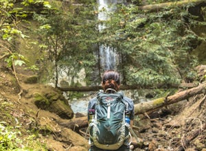
Hike to Nisene Marks' Maple Falls
4.68.5 mi / 900 ft gainAs you enter the park, you'll need to pay $8 for parking via a self-pay envelope, so it's recommended that you bring exact change. At the park booth, be sure to grab a map. The hike can be a little tricky with no cell service and limited trail signage. Once you've grabbed your map, keep driving p...Read more -
Napa, California
Lake Marie Road, Marie Creek, Buckeye Trail Loop
3.55.8 mi / 961 ft gainEnter the parking lot just off of Hwy 221. Plan to pay a $5 entrance fee at the kiosk. The trail head begins at the edge of the parking lot where you'll soon be passing by the Martha Walker Native Habitat Garden on your right. Veer left to continue along Lake Marie Road where you'll enter the blu...Read more -
Inverness, California
Abbotts Lagoon Trail
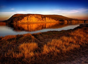
4.63.43 mi / 102 ft gainIf you like beaches, headlands, scenic landscapes, wildflowers, and tons of wildlife viewing, you should give this hike a try. Although it only takes about an hour to complete the out-and-back, the vibe surrounding this area is just begging you to slow down and enjoy your natural surroundings. T...Read more -
Napa, California
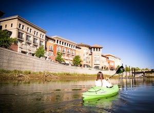
Kayak the Napa River
4.0The Napa River is one of the largest California Central Coast Range rivers, draining approximately 426 sq. miles on its 50 mile journey beginning just south of the summit of Mt. St. Helena to the San Pablo Bay, passing through many of the landmark towns of Napa Valley including an incredible 6 mi...Read more -
Fairfield, California
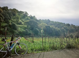
Bike the Gordon Valley to Wooden Valley Scramble
5.013.5 mi / 498 ft gainThis is a 13.5 mile loop route in Fairfield, California. The route has a total ascent of 498 feet and has a maximum elevation of 369 feet.Begin your ride at the corner of Oliver Road and Mankas Corner Road. Along Mankas Corner Road you'll pass the Napa Grass Farmer community farm and Il Fiorello ...Read more

