Burbank, California
Looking for the best hiking in Burbank? We've got you covered with the top trails, trips, hiking, backpacking, camping and more around Burbank. The detailed guides, photos, and reviews are all submitted by the Outbound community.
Top Hiking Spots in and near Burbank
-
Walnut Creek, California
Sugarloaf Open Space Loop
1.91 mi / 243 ft gainSugarloaf Open Space Loop is an almost 2-mile loop for hiking, running and walking. This trail is relatively easy and takes under one hour to hike. This loop is dog friendly.Read more -
Daly City, California
Mussel Rock Loop
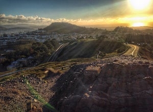
4.01.95 mi / 322 ft gainMussel rock, a three-story, 50 million year old rock that has been carried some 500 miles northwest from Southern California, is where the San Andreas fault meets the Pacific Ocean. It's also an excellent spot to drink some wine and catch a sunset. From San Francisco, take Highway 1 south towar...Read more -
Oakland, California
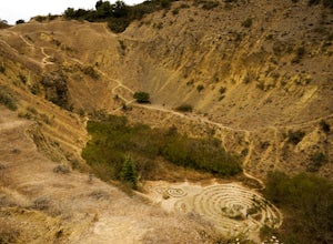
Sibley Volcanic Trail Labyrinths
3.52 mi / 144 ft gainFrom Skyline Blvd, pull into the staging area for Sibley Volcanic Regional Preserve, you'll see the sign. Parking here is usually easy to find. You'll find an unstaffed visitor center with a restroom, park maps and informational displays featuring the history and geology of the park. Sibley is a...Read more -
San Francisco, California
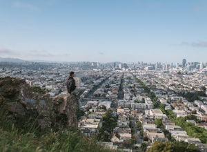
Bernal Heights Park
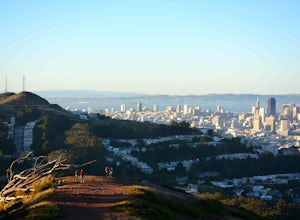
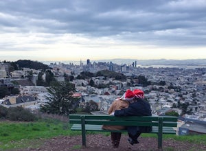
4.70.95 mi / 128 ft gainBernal Heights Park is an excellent week night adventure for those who need an escape from the city. Sit atop this small, grassy peak in peace and look out over the San Francisco skyline. Park on the street bordering the park and follow a pathway that leads up to the top. You will be instantly g...Read more -
Walnut Creek, California
Run the Mt. Diablo Foothill Loop
5.06.2 mi / 875 ft gainContinue by car down Castle Rock Road until it dead ends at the beginning of the trail. Parking is usually easy to find. If full, there is another overflow lot about 500 ft back the way you came in.You'll walk a good half mile down the trail before getting the main gate. As you're walking, you'll...Read more -
Walnut Creek, California
Castle Rock Trail
5.06.06 mi / 971 ft gainLocated near Walnut Creek, the trail is easily accessible from anywhere in the Bay Area. The trail is kept open year-round, and happens to be part of the American Discovery Trail and the Coast to Crest trail. If you are not done hiking, connecting trails allow you to summit Mt. Diablo. This tra...Read more -
San Francisco, California
Glen Canyon Park Trail
5.01.76 mi / 394 ft gainGlen Canyon Park Trail is a loop most commonly used for running or hiking in the southwestern side of San Francisco, California. Parking for the loop is street parking, so be sure to take any valuables out of the car with you. Note: There are restrooms available at the Glen Canyon Recreation Ce...Read more -
Lafayette, California
Lafayette Reservoir via Nature Area Rim Trail
5.05 mi / 758 ft gainLafayette Reservoir is perfect for canoeing, mountain biking, trail running, and hiking. The Reservoir trail system is also used for nature walks and birding. The loop has several high points that have amazing views. The trails become very muddy after wet weather - so tread with caution. Th...Read more -
San Francisco, California
Lake Merced Loop
4.74.53 mi / 180 ft gainLake Merced Loop is a loop trail in the southwestern part of San Francisco. This trail is used for running and walking. You'll see plenty of people getting exercise or taking their dog for a stroll. There are also benches and tables around the loop. The lake itself is fresh water and is used for...Read more -
San Francisco, California
Mount Davidson
4.51.03 mi / 299 ft gainMount Davidson Park is located in the southwestern part of the city nestled between Diamond Heights and Portola Dr. The climb isn't too difficult, but to reach the top of the 928ft summit, you should wear close-toed shoes and be ready for some loose gravel or mud if it's been raining. The hike is...Read more -
San Francisco, California
Corona Heights Park
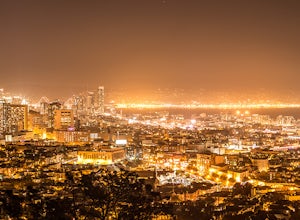
5.00.65 mi / 115 ft gainCorona Heights Park is a park located north of the Castro and South of Buena Vista Park. The peak of the hill is windy, but it offers an unobstructed panoramic view of the city of San Francisco from downtown to Twin Peaks. It is perfect for taking panoramic pictures of San Francisco at night. Y...Read more -
San Francisco, California
Vulcan Steps
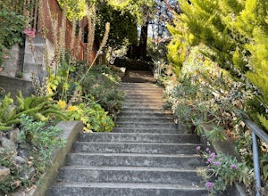
5.00.18 mi / 79 ft gainVulcan Steps is an out-and-back trail that takes you past scenic surroundings located near San Francisco, California.Read more -
Clayton, California
Hike Mt. Diablo
4.413 mi / 3323 ft gainMt. Diablo has some of the most expansive views in California, despite it's relatively low peak elevation. It played a large role in the surveying the Bay Area during its early discovery. Getting There: To get to the staging area, take Interstate 80 to I-680 to Highway 4. Exit at Railroad Bouleva...Read more -
San Francisco, California
Tank Hill
4.30.14 mi / 49 ft gainLooking for a cool, under-the-radar spot that’s perfect for picnics, chilling out, and chasing the sunset? Look no further than Tank Hill. This little gem of a mini-park is 650 feet high and tucked away in Cole Valley. It’s so small that many maps of San Francisco don’t even include it. To get ...Read more -
San Francisco, California
Twin Peaks Loop
4.02.04 mi / 259 ft gainThere are a ton of ways to get here (and obviously that can affect the total distance) but this is starting from Clarendon. Follow along up Twin Peaks boulevard where you'll see the peaks upon your approach. Keep an eye out for traffic as there may be visitors driving toward and away from Twin Pe...Read more -
San Francisco, California
Fort Funston Trail
4.71.81 mi / 253 ft gainFort Funston is an SF gem I discovered when looking for a dog friendly hike near the city. Located west of Lake Merced, you'll find a gorgeous Northern California beach oasis where you and your dog can run wild and free :). Parking is located at the top of the park where you'll descend a steep se...Read more

