Boulder Creek, California
Looking for the best photography in Boulder Creek? We've got you covered with the top trails, trips, hiking, backpacking, camping and more around Boulder Creek. The detailed guides, photos, and reviews are all submitted by the Outbound community.
Top Photography Spots in and near Boulder Creek
-
Mount Hamilton, California
Stargaze at Lick Observatory
3.8Hop on Road 130 heading out of San Jose and follow the winding two lane road up, up, up to to the top of Mt. Hamilton and the Lick Observatory. There are lots of deer, wild turkey, and pigs in the area. If you are lucky you will get to see a herd of deer grazing in a meadow. But be careful that y...Read more -
Sunol, California
Little Yosemite via Canyon View Trail
4.03.01 mi / 705 ft gainPlease note this is a fragile ecosystem and watershed. There is NO swimming allowed in Alameda Creek and trespassing is prohibited on Water Department lands that are not accessible to the public. You can learn more about the restrictions and the area at ebparks.org. After entering the kiosk you...Read more -
Half Moon Bay, California
Catch the Sunset at Maverick's Beach
5.01 miMaverick's beach is most well-known for the Maverick surf competition and the gnarly waves which surface here in the winter months. For the rest of the year, the beach is still a site to see. With huge waves crashing ¼ mile off shore and bluffs towering 100 feet above you, it’s a picturesque plac...Read more -
Moss Beach, California
Pillar Point Bluff Loop
4.71.84 mi / 154 ft gainSitting on a 140 acre bluff top, the Pillar Point Bluffs are a simple, easy hike with breathtaking views throughout. The bluffs are 22 miles from San Francisco – a 30 minute drive depending on the traffic. There is a small 10 car or so parking lot off of Airport Blvd, but there are two additional...Read more -
Marina, California
Surf, Run, or Catch a Sunset at Marina State Beach
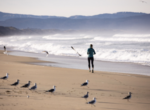
From the moment you turn into the parking lot, you know Marina State Beach is special. Grab a parking spot in the large lot and then run down the dunes and onto the shoreline! The beach feels spacious on this section of the shore and gives plenty of room to run around or to put down a blanket to ...Read more -
Burlingame, California
Hike the Ed Taylor Loop Trail in Mills Canyon
4.01.4 mi / 300 ft gainThis hike can be done at any time of year. Hiking in winter and spring means that many varieties of wildflowers will be present, and the creek will have much more water. Summer and fall mean higher temperatures and drier conditions, but the hike is still a pleasant experience. Begin the hike at t...Read more -
Moss Beach, California
Cypress Tree Tunnels at Moss Beach
4.50.79 mi / 105 ft gainThe Cypress Tree Tunnels are a quick jaunt from San Francisco (22 miles) and make for a great half-day trip. Getting here depends on traffic, but 30 minutes from the center of the city is doable. Parking is relatively easy. You can either park at the south end of the area at the Cypress Cove entr...Read more -
Moss Beach, California
Fitzgerald Marine Reserve
5.00.89 mi / 46 ft gainLocated beside a residential neighborhood, Fitzgerald Marine Reserve offers a rare glimpse of life in the northern California intertidal zones. There are parking spaces and restrooms available, as well as ranger-led guided tours. Be sure to check the tide charts and go during low tide (preferab...Read more -
Marina, California
Explore Fort Ord Dunes State Park
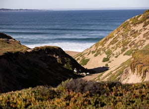
5.0One of the best parts of Monterey is the beaches – but their popularity is also their weakness, so if you want seclusion head to the lesser-known Fort Ord Dunes for solitude and beautiful views of Monterey Bay and the Pacific Coast. Historically, this location was chosen as the location for Fort ...Read more -
Pacific Grove, California
Explore Lovers Point
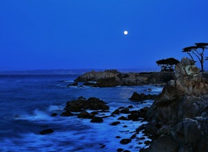
5.0LOVERS POINT PARK AND BEACH:According to local legend, this park was originally called "Lovers of Jesus Point," back in the era when Pacific Grove was a Methodist retreat camp. Since the late 1800s, the beach at Lovers Point in Pacific Grove has been a popular spot for boating and swimming, and o...Read more -
Pacific Grove, California
Bike at Asilomar State Beach
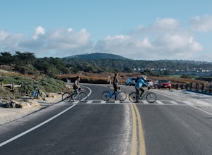
At Asilomar State Beach, adventure is accessible in many forms. I had the opportunity to rent a bike from Adventures by the Sea. Rentals start at $25, and while you are not permitted to ride along the boardwalk that leads you to the beach, you may walk your bike through the exquisite sand dunes A...Read more -
Pacific Grove, California
Exploring Asilomar's Ancient Sand Dunes
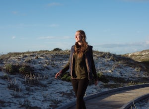
4.0Asilomar State Beach covers 107 acres of land. It is home to a delicate ecosystem that has been sustained through the years after it was almost destroyed. The intricate dunes at Asilomar are what have survived after the over-grazing back in the early 1900's that damaged about 480 acres of dunes. ...Read more -
Pacific Grove, California
Play Volleyball at Asilomar Conference Grounds
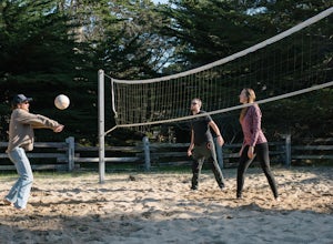
Asilomar translates to “refuge by the sea,” a phrase that accurately depicts the Asilomar Conference Grounds. The area started as a YWCA women’s empowerment camp in 1913 and has since transitioned into a well-preserved state beach. It is located in the beautiful Monterey Peninsula. If you find y...Read more -
Half Moon Bay, California
Gray Whale Cove Loop
5.01.22 mi / 518 ft gainStarting at the parking lot adjacent to Gray Whale Cove State Beach, proceed to the start sign indicating "Grey Whale Cove Trail". GWCT is a fun brisk hike with slight elevation gain that should be easy enough to take a small group or even children to. Take note of the tight spaces you may encou...Read more -
Half Moon Bay, California
Devil's Slide Bunker
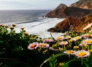
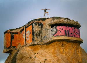
4.3The Devil's Slide Bunker is perched out on a point the defiantly juts out into the ocean. The Bunker is covered in constantly changing graffiti, which provides a stunning contrast to the gorgeous seaside. Hop on Highway 1 South. Just south of Pacifica there is a tunnel. Once you go through the t...Read more -
Sand City, California
Bikepack Highway 1: Monterey to San Luis Obispo
130 mi / 9000 ft gainPlease be aware that this is NOT a route for beginning cyclist. It is a very hilly route and you will be sharing the road with cars for the entire route, the shoulder is sometimes very slim. This should not scare you from doing the trip, just be aware of the risks and dangers you might be facing....Read more

