Blairsden-Graeagle, California
Top Spots in and near Blairsden-Graeagle
-
Truckee, California
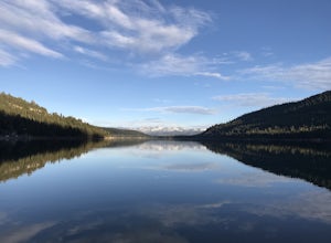
This is a casual hike in an area with a ton of history. Stop by the museum before or after your hike to learn about the Donner Party, the Transcontinental Railroad, and local Native Americans
Park at the Donner Lake and Memorial State Park Visitor Center and walk west towards the lake. Cross the...
Read more
-
Verdi, Nevada
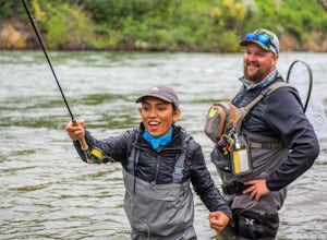
At just 121 miles long from Lake Tahoe to Pyramid Lake, the Truckee River continues to produce the largest trout in the Lower 48. Fly fisherman commonly divide the river into two reaches – East & West. And just outside of Reno in the small town of Verdi, the Bridge Street bridge is an excelle...
Read more
-
Truckee, California
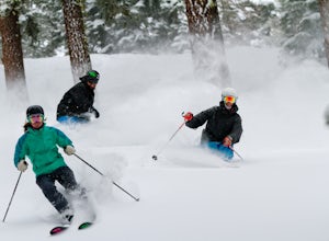
Northstar California, previously known as Northstar-at-Tahoe, is located near the north shore of Lake Tahoe and is home to over 3,000 acres of skiable terrain. The resort is known for its laid back atmosphere coupled with high-end luxury accommodations, shopping and dining.The resort is home to i...
Read more
-
Doyle, California
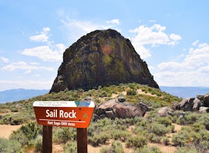
The recreation area consists of approximately 29,000 acres of public land that is managed primarily for off highway vehicle use and winter deer range. Vehicle use within the recreation area is limited to designated roads and trails to ensure that the two primary uses remain compatible throughout ...
Read more
-
Nevada City, California
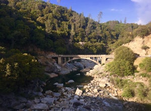
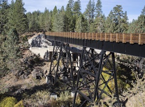
Starting from the free easy access parking lot right off highway 49 you head left up the trail. You will notice two trails side by side, one wider path for wheelchair access and another slightly narrower path for hikers on foot.The trail is set on the cliff side overlooking the South Fork of the ...
Read more
-
Nevada City, California
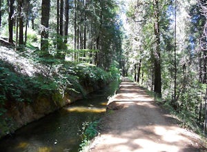
Well if you start at Banner Lava Cap and Gracie Roads then you will see the canal at the top of Gracie Rd. Hop onto the berm of the canal and head north {upstream}. The trail is dirt and about 4 ft wide in the beginning and widens to 6 to 8 ft for most the way . Continue upstream on the canal and...
Read more
-
Truckee, California
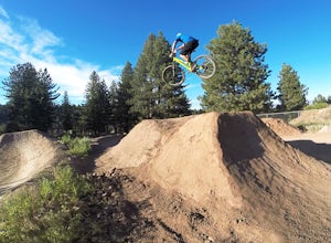
Truckee bike park is a great destination for all ages of bike riders. There are several different features including a pump track, dual slalom course, dirt jumps, strider track and more! This park is kid friendly but be sure to pack a helmet and pads especially for first-timers. More experienced ...
Read more
-
Reno, Nevada
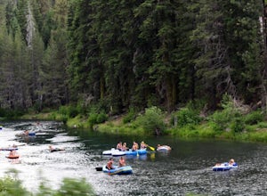
Start your day by heading to Tahoe City where the East and North Shores of Lake Tahoe meet. Be sure to grab supplies along the way including drinks, picnic lunch, sunscreen, coolers, floating devices (if you aren’t interested in renting) and maybe even some super soakers if you are planning to ...
Read more
-
Penn Valley, California
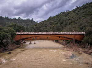
The famed and picturesque Bridgeport Covered Bridge, spanning the width of the Yuba River, was originally built in 1862. It was an integral passage for a freight hauling route from San Fransisco to Nevada. This historic site is now protected and is no longer able to be walked or driven through as...
Read more
-
Susanville, California
Cheney Creek has a bulletin board and toilet but no developed campsites. There is a primitive hike in or bike in campsite at Cheney Creek along the Bizz Johnson Trail, which is beside the Susan River. The primitive self contained camping site is 1.5 miles east of the Devil's Corral Trailhead on t...
Read more
-
Reno, Nevada
3.0
8.89 mi
/ 2913 ft gain
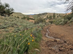
Peavine Peak Trail is a loop trail where you may see beautiful wildflowers located near Reno, Nevada.
Read more
-
Reno, Nevada
4.0
1.44 mi
/ 121 ft gain
Upper Chalk Creek Trail is an out-and-back trail located near Reno, Nevada.
Read more
-
Foresthill, California
Just a few miles north of Foresthill, Sugar Pine is a lesser known reservoir found in Placer County that is surprisingly unpopulated for how much the park provides. A swim suit, some friends, and some good music can be all it takes to have a good time.There is a boat-launching station that is eas...
Read more
-
Reno, Nevada
3.0
3.15 mi
/ 312 ft gain
West Plateau Loop is a loop trail that takes you by a river located near Reno, Nevada.
Read more
-
Truckee, California
The Five Lakes Trail is located in the Granite Chief Wilderness in between Alpine Meadows and Squaw Valley ski resorts and is easily accessible at the intersection of Alpine Meadows and Deer Park roads. The 5-mile moderate trail ascends approximately 900-1000 ft. along granite canyons and pine f...
Read more
-
Truckee, California
Starting off of Lakeview chair at Alpine Meadows, head to the far right towards the sign for Outer Limits run. Traverse across the run and past the Ski Area Boundary signs on the far side. Continue through the trees where you will find a series of clearings generally full of untracked powder. The...
Read more

