Big Creek, California
Looking for the best photography in Big Creek? We've got you covered with the top trails, trips, hiking, backpacking, camping and more around Big Creek. The detailed guides, photos, and reviews are all submitted by the Outbound community.
Top Photography Spots in and near Big Creek
-
Mono County, California
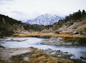
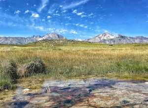
Hot Creek Geological Site
4.8Hot Creek Geological Site is a must see when you are in the Mammoth Lakes area. It is just West of Highway 395 and only minutes form the town of Mammoth Lakes, which has great food, a ski resort, world class mountain biking, and a brewery. Bishop is about 40 minutes South which is well known for ...Read more -
YOSEMITE NATIONAL PARK, California
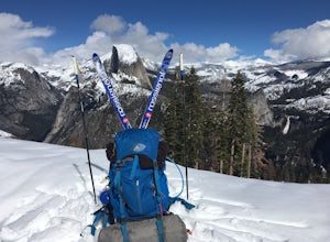
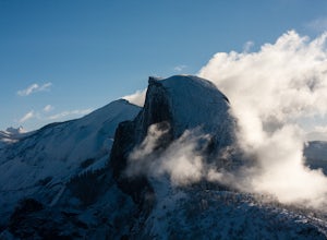
Nordic Ski and Snowshoe to Glacier Point
5.021 miKnown for its breathtaking vistas, towering granite faces, and thundering waterfalls, Yosemite National Park truly is one of the world’s most astounding landscapes. Though the park covers nearly 1200 square miles, the vast majority of the ~4 million annual visitors spend almost all their time ar...Read more -
YOSEMITE NATIONAL PARK, California
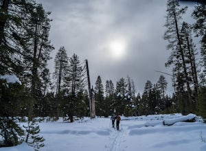
Cross-Country Ski to the Ostrander Ski Hut
Start your trip from the Badger Pass ski area. The Glacier point road is closed past here, and you'll spend your first couple of miles skiing mostly downhill to the Bridalveil Falls trailhead.The Bridelveil Creek trail gains slightly less elevation but is less scenic and longer than the more popu...Read more -
Yosemite National Park, California
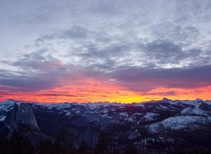
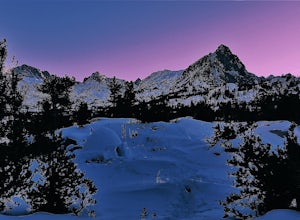
Winter Backpack to Sentinel Dome in Yosemite
5.019.23 mi / 860 ft gainThe goal for our weekend was to do some winter camping in the Yosemite backcountry; we decided on Sentinel Dome as our destination. The trail is a cakewalk during the summer, but winter turns it into a 10 mile uphill grind from the car. Most people opt to head for the ski hut at Glacier Point, bu...Read more -
Tulare County, California
Jennie Lake via Fox Meadows
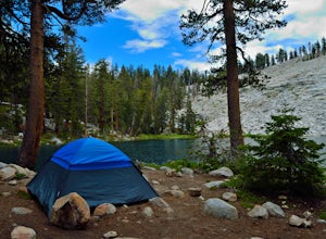
4.510.71 mi / 1929 ft gainJennie Lake is a beautiful subalpine lake located in the Jennie Lakes Wilderness just outside of Sequoia National Park. There are no backpacking quota restrictions making this a perfect trip that requires little planning. Your journey starts at the Fox Meadows trailhead on paved Forest Service R...Read more -
Mariposa County, California
Sentinel Dome and Taft Point Loop
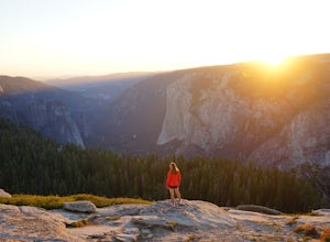
5.05.17 mi / 1076 ft gainSENTINEL DOME & TAFT POINT TRAILHEAD: About an hour drive from Yosemite Valley campgrounds. This trailhead is an intersection of the starting point of the Taft Point trail and Sentinel Dome trail. It is a short walk (and visible) from the parking lot. In doing both trails, it would be an esti...Read more -
Mariposa County, California
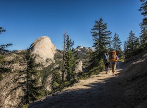
Sentinel Dome Trail
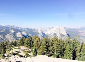
5.02.15 mi / 400 ft gainOne of the most popular places in Yosemite for sunset is Glacier Point, but by walking one mile from the trailhead, the crowds quickly dissipate. Sentinel Dome is great for all ages since the trail is short and not too steep. Park at the Sentinel Dome trailhead, about 3 miles from the end of Glac...Read more -
YOSEMITE NATIONAL PARK, California
Taft Point
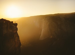
4.92.35 mi / 200 ft gainTaft Point is such an amazing and different view of the Yosemite Valley. If you're lucky and you time it right, you'll also experience complete solitude. While driving Glacier Point Road, just a few minutes before arriving at Glacier Point, you'll see a parking lot for the Taft Point Trailhead. ...Read more -
Bishop, California
Snowshoe to Blue Lake
6.2 mi / 1350 ft gainStarting in Aspendale at 8500 feet, this 5 mile hike is very invigorating and beautiful. To get here, take hwy 395 until in Bishop. Turn onto hwy 168 until you pass the small town of Aspendale. The road dead ends about another mile up the road and you can park. Walk past the yellow gate toward la...Read more -
Mono County, California
Crab Cooker Hot Springs
Getting There: Take Highway 395 heading toward Benton Crossing Road. Turn onto Benton Crossing and you’ll see an adorable wee green church. Continue two miles down the road. You’ll make a left turn and head down a dirt road. Cell service is scant in this area, so you'll probably want to...Read more -
Mono County, California
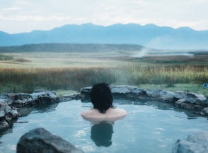
Shepherd Hot Springs
4.0Located a short distance from US 395 near Mammoth/Yosemite Airport, Shepherd Hot Spring provides a great opportunity to relax while taking in spectacular views of the Eastern Sierras and surrounding area. After a hard day on the slopes or long day on the trail this hot spring provides a comforta...Read more -
Mariposa County, California
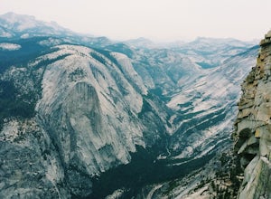
Backpack to Clouds Rest from Glacier Point
4.023.85 mi / 6942 ft gainStart from Glacier Point around 7,200 feet leaving on the Panoramic Trail. Head down 2 miles to Illilouette Falls (5,800 feet). Once you cross the bridge at Illilouette Falls you go up Panorama Point and head back down to Nevada Falls (5,971 feet). Once you reach Nevada Falls fill up on as much w...Read more -
Mono County, California
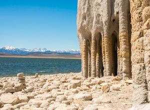
Explore Crowley Lake Columns
4.0Starting from Mammoth Lakes you head South on Highway 395 until you get to Benton Crossing Rd. (Green Church on the corner) and make a left.From Bishop you head North for about 30-40 miles until you hit Benton Crossing Rd. and make a right.From here, continue West and bending South for close to 2...Read more -
37.732842,-119.557782
Panorama Trail
4.816.87 mi / 3200 ft gainThe Panorama Trail is an outstanding hike that takes you from the Yosemite Valley floor up to Glacier Point. Or you can hike it downhill going from Glacier Point to Yosemite Valley. You can camp and make it an overnight trip or do it as a day trip by leaving a car at one end and taking a park sh...Read more -
Mariposa County, California
Little Yosemite Valley Campsite and Half Dome
4.613.88 mi / 4800 ft gainFirst things first. You will need to get a wilderness pass by entering the lottery for Half Dome access. If you don't get a pass via lottery just go to the Yosemite Valley visitor center, tell the clerk you are backpacking to Little Yosemite Valley and that you would like to hike up Half Dome. Th...Read more -
Mariposa County, California
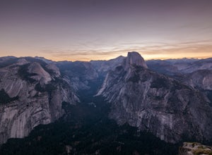
Photograph Yosemite's Half Dome at Glacier Point
4.7Glacier Point gives you a classic view of Half Dome and Yosemite Valley. You can get a different perspective of Half Dome if you jump on any of the trails heading out of Glacier Point. Illilouette Falls trail gives you a different view of Half Dome. This trail is around 4-5 miles round trip fro...Read more

