Arcadia, California
Arcadia, California offers some of the best trails and outdoor activities for those seeking scenic outdoor adventures. The Eaton Canyon Trail, a must-visit, is a moderate-level hiking trail known for its waterfall and the beautiful Eaton Canyon River. Another top trail is the Mount Wilson Trail, featuring a stunning view of the San Gabriel Valley and an observatory at the peak. For those interested in bird watching, the Arcadia Wilderness Park is a great spot with its diverse bird species. The Los Angeles County Arboretum and Botanic Garden, located in Arcadia, is a fantastic place to enjoy a leisurely walk amongst a variety of plant species. So, pack your hiking boots and get ready to explore the best of Arcadia's outdoor attractions.
Top Spots in and near Arcadia
-
Lancaster, California
Saddleback Butte State Park Loop
0.58 mi / 46 ft gainSaddleback Butte State Park is a state park in the Antelope Valley of the western Mojave Desert. It’s oftentimes looked over, but you’d be surprised what you can find there. Definitely a place to stop. It is located east of Lancaster. It can get hot so make sure to bring lots of water and wear su...Read more -
Agoura Hills, California
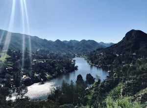
Malibu Lake Overlook
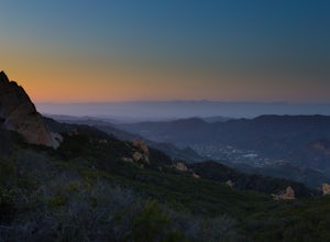
5.04.12 mi / 741 ft gainTo get to the trail, use the address 27800 Mulholland Highway, Agoura Hills, CA 91301. This will take you to a dirt pull off right off the Mulholland Highway. At the southern part of the pull off, you'll see a dirt path leading up and away from the road. This is the Cistern Trail Trailhead. You'l...Read more -
Hesperia, California
Cleghorn Beach and Day Use Area
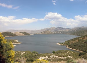
Nestled at the southwestern edge of Silverwood Lake lies Cleghorn Beach and Day Use Area, a perfect spot for a leisurely afternoon. This family-friendly beach boasts lifeguards on duty during the summer months and offers reservable picnic shelters for your convenience. Unlike other parts of the l...Read more -
Hesperia, California
Sawpit Beach
Sawpit Beach, is nestled within the Silverwood Lake State Recreation Area. The beach offers a peaceful respite along the southern shores of Silverwood Lake. With lifeguards on duty during the summer months, families can enjoy a worry-free day of swimming and relaxation. The sandy shores provide t...Read more -
Agoura Hills, California
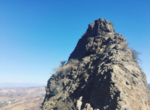
Ladyface Peak
4.52.05 mi / 971 ft gainLadyface is a volcanic ridge that juts up over Agoura Hills. It is a short but steep hike up the ridgeline, and it offers amazing views to either side. Sections of the trail are steep and sandy so it can be challenging to maintain your footing. Trekking poles are optional and can help with the de...Read more -
Orange, California
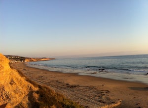
Crystal Cove Beach Loop
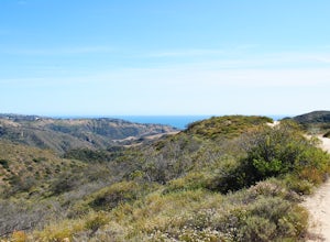
5.05.13 mi / 151 ft gainThis is a favorite morning or evening hike, run or stroll. Park in the lot with a state pass, head down the cliff and back, and you'll get an amazing workout. Tip: Time your outings for low tide as there will be more beach to walk on.Read more -
Malibu, California
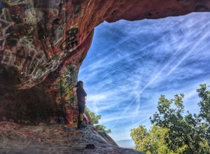
Jim Morrison Cave
3.21.2 mi / 600 ft gainNote: Jim Morrison Cave is closed indefinitely. The bright colors of the Jim Morrison Cave are something to not be missed, and is appreciated by people of all ages. The cave also provides a beautiful outlook of the Malibu canyon, Malibu State Park and the Pacific Ocean. There is a ton of rock ho...Read more -
Laguna Beach, California
El Moro Canyon Trail to Lower Moro Campground
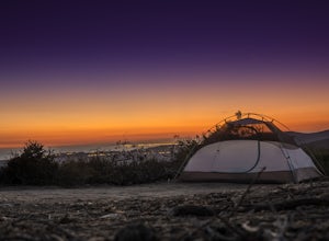
3.56.37 mi / 997 ft gainLocated off of Pacific Coast Highway in Laguna Beach is Crystal Cove State Park. There are three primitive sites located in Crystal Cove: Deer Canyon, Upper Moro, and Lower Moro. The site I stayed at was Lower Moro campground. All three of these sites require the backpacker to hike everything in...Read more -
Castaic, California
Paddle Castaic Lake State Recreational Area
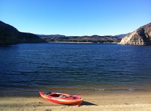
6 miCastaic Lake is a man made reservoir located 41 miles north of downtown Los Angeles, CA in the town of Castaic. Made up of two bodies of water, separated by a 425-foot dam, Upper and Lower Castaic Lakes have a combined 29 miles of shoreline forming the Castaic Lake State Recreational Area. The s...Read more -
Los Angeles County, California
Backbone Trail via Corral Canyon
5.02.08 mi / 89 ft gainThe backbone trail was a vision that started in the 1980’s. It is a trail that stretches 65 Miles starting in Will Rodgers State Historic Park and ending at Thornhill Broome Beach. It has many entrance and exit points but it is anchored in the middle by the Coral Canyon Trail Head. The full trail...Read more -
Laguna Beach, California
El Moro Canyon Trail
5.04.94 mi / 814 ft gainThe trail features a waterfall and is open year-round, but is best used in the spring. Remember to bring $15 cash for the parking fee. The Laguna Beach trail is shared by trail runners, mountain bikers, hikers, and the occasional horseback rider. Dogs are not allowed in Crystal Cove State Park.Read more -
Laguna Beach, California
Hike Willow Canyon, Laguna Coast Wilderness Park
5.06.7 mi / 1208 ft gainThis hike has been a must do since I was young. Do you love scenic views of the ocean and wildlife? You'll see plenty of both, from hawks searching for food to squirrels and deer running through the brush. This is my favorite route in this area but there are plenty of other trails to shorten or a...Read more -
Aliso Viejo, California
Top of the World via West Ridge Trail
5.04.76 mi / 443 ft gainDirections to get here are pretty straight forward via the map. You park your car in a residential neighborhood along the street, and from there, you can't miss the entrance. The trail is paved for the first 100yds or so and after you make a right turn at the top, you'll be on dirt and sand the r...Read more -
Laguna Beach, California
B.F.I. Trail in Crystal Cove State Park
5.00.78 mi / 125 ft gainTo get to the trailhead, enter Crystal Cove State Park through the Crystal Cove El Moro Campground entrance immediately next to El Moro Elementary School. Follow the road behind the school which leads to the main gate where you will need to pay a day-use parking fee of $15. Drive past the Campgr...Read more -
Laguna Beach, California
Crystal Cove Loop Trail
4.04.05 mi / 676 ft gainThe trail begins and ends at the El Moro Visitor Center. Parking requires either a $15 day use parking pass, which is available in the visitor center. This hike we are focusing on is called the Difficult Loop Trail and it is the third most difficult trail the canyon offers. You take Moro Canyon,...Read more -
Laguna Beach, California
Photograph the Pacific Coast Highway over Crystal Cove Beach
4.4To get to the bluffs overlooking Crystal Cove State Park Beach to the south, you'll need to pull off onto the side of the Pacific Coast Highway *before* Morro Ridge Road.The easiest and most obvious turnoff is on the right side of the highway southbound, just past the "Adopt a Highway" sign and w...Read more

