Amador County, California
Looking for the best chillin in Amador County? We've got you covered with the top trails, trips, hiking, backpacking, camping and more around Amador County. The detailed guides, photos, and reviews are all submitted by the Outbound community.
Top Chillin Spots in and near Amador County
-
South Lake Tahoe, California
Camp at Bayview Campground
5.0Bayview is a first come, first serve campground in South Lake Tahoe, halfway between Emerald Bay and Cascade Lake. You can catch an amazing sunrise over Emerald Bay! Large pine trees provide ample shade, and each site is equipped with a picnic table, grill, and bear boxes. Bring plenty of water -...Read more -
Galt, California
Hike the Cosumnes River Walk Trail
3.1 mi / 16 ft gainThis trail is a short, easy, accessible and beautiful trail for a nice afternoon walk (or photoshoot). I recommend the River Walk Trail (~3 miles). It is flat and easy to walk. There are multiple loops so you can turn back at any time. There are small bridges, access to the water, meadows, e...Read more -
Foresthill, California
Explore Sugar Pine Reservoir
4.3Just a few miles north of Foresthill, Sugar Pine is a lesser known reservoir found in Placer County that is surprisingly unpopulated for how much the park provides. A swim suit, some friends, and some good music can be all it takes to have a good time.There is a boat-launching station that is eas...Read more -
Colfax, California
Hike The Historical Stevens Trail
5.08 mi / 3376 ft gainBest known as one of the most popular hiking and biking trails to the North Fork American River, in part because of the easy access from Colfax. However, this is a remote trail, and hikers are advised to bring plenty of fluids as well as carry a whistle. The entire trail is primarily shaded, pa...Read more -
South Lake Tahoe, California
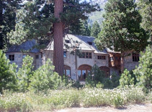
Explore Lake Tahoe's Vikingsholm Castle
4.0The drive to the location of Vikingsholm was beautiful with spectacular views of Lake Tahoe and Emerald Bay, when approached from South Lake Tahoe. The hike down the hill to see this gem was worth it but could be hard for some (because the only return is up this somewhat steep path with switchbac...Read more -
South Lake Tahoe, California
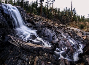
Photograph Fallen Leaf Lake's Cascading Falls
5.0This amazing waterfall is right off the road near the Fallen Leaf Campground. Once you enter the campground keep driving straight just a bit further and you will see a pull off on the right hand side. Pull off here and you should see the cascading waterfalls between the trees. Park here, get you...Read more -
South Lake Tahoe, California
Camp at Fallen Leaf Lake
5.0Fallen Leaf Lake is truly one of the more beautiful places in California. Separated from Lake Tahoe by just a one-mile strip of land, it feels worlds away from the crowds and fuss. The campground has over 200 sites that can be reserved here. There are endless hikes nearby including Mount Tallac a...Read more -
South Lake Tahoe, California
Hike the Fallen Leaf Lake Trail
5.08.1 mi / 859 ft gainThe Fallen Leaf Lake Trail is located in South Lake Tahoe, California. It is important to note that there is no trail on the east side of the lake. The trail turns into a paved road when you reach the marina after passing the campground. Additionally, lots of small trails jut out from the main tr...Read more -
South Lake Tahoe, California
Baldwin Beach
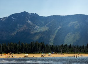
4.5Baldwin Beach offers a half mile of views of Lake Tahoe and the Sierra Nevada mountains. People come to this beach to relax and picnic. This is also a popular launch spot for those kayaking or stand up paddling to Emerald Bay. This beach is on national forest land and has a parking fee of $8.00...Read more -
South Lake Tahoe, California
Boulder at D.L. Bliss State Park
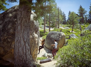
This place is bouldering heaven. Short approach to the first boulders, challenging routes for every level, good landings, and set in a beautiful area. It's like Bishop, but without the long drive.Technically you can come anytime in the season, but it is highly suggested to get a morning session i...Read more -
South Lake Tahoe, California
Chillin at Lake Tahoe's Kiva Beach
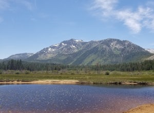
4.7Kiva is a secluded sandy crescent beach flanked by a beautiful meadow and mountain backdrop. This beach is rarely crowded and has free parking unlike other beaches in Tahoe. Kiva is a great place to bring dogs and is actually well known as a dog beach. Kiva is also accessible from the bike trail...Read more -
Tahoe City, California
Hike the Ellis Peak Trail
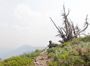
5.06.3 mi / 1660 ft gainThe Ellis Peak Trail is close to North Lake Tahoe. The trail features scenic wildflowers in the spring and summer. Dogs are allowed on the trail but must be kept on leash. Directions from Truckee: Take Highway 80 south and drive to Tahoe City - continue south on Highway 89 from Tahoe City for 4....Read more -
South Lake Tahoe, California
Hike the Lighthouse Trail at D.L. Bliss State Park
4.82.3 mi / 505 ft gainThe Lighthouse Trail is a 2.3 mile loop located in D.L. Bliss State Park on the lower west side of world famous Lake Tahoe. To get the trail, enter the park through the main entrance ($10 parking fee), the follow the road until you see two parking areas of the left side with about 6 or 7 spots e...Read more -
South Lake Tahoe, California
Hike the Rubicon Trail
5.07 mi / 400 ft gainThe Rubicon Trail is a through hike connecting D.L. Bliss State Park and Emerald Bay State Park. You can start at either point. I opted to start at D.L. Bliss State Park to avoid the long walk uphill to catch the Nifty Fifty shuttle. Also, there is more available parking at Bliss. Park your c...Read more -
Pinecrest, California
Backpack to Bear Lake (Emigrant Wilderness)
4.58.34 mi / 705 ft gainStart by picking up your wilderness permit at the Summit Ranger Station near Pinecrest - (209) 965-3434. There's no quota for this area, so no need for reservations in advance. To reach the trailhead, make your way south from the Ranger Station and turn left onto Crabtree Rd. Drive along this ro...Read more -
South Lake Tahoe, California
Catch a Sunset at Keys Beach
Owned by the State of California, Keys Beach sits at the end of a peninsula bordered by the Tahoe Keys marina inlet to the west and the Upper Truckee River to the east. This relative isolation along with its only access being by water or a single trail keeps the beach remarkably quiet relative to...Read more

