Alpine County, California
Alpine County, California, is home to some of the top trails and outdoor activities. One must-visit is the Mokelumne Wilderness hiking trail. This scenic route spans 42 miles, offering awe-striking views of granite peaks and alpine lakes. The trail is rated as moderate in difficulty, making it suitable for most fitness levels. Along the way, you'll pass by Frog Lake, a beautiful water body nestled among towering pines. Don't miss the chance to spot unique rock formations, a testament to the area's rich geological history. For those seeking a more relaxed outdoor adventure, fishing in the Carson River is another popular attraction. Known for its abundance of trout, it's a favorite among locals and visitors alike. Choose Alpine County for your next outdoor adventure, and you won't be disappointed.
Top Spots in and near Alpine County
-
Glenbrook, Nevada
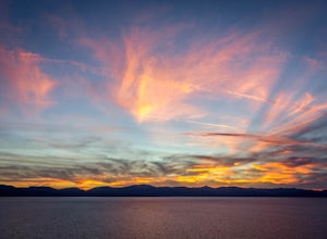
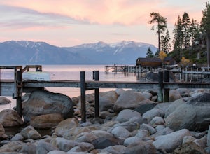
Catch a Sunset at Cave Rock
4.70.8 mi / 127 ft gainThis short hike is just off of highway 50 and provides one of the best views of Lake Tahoe. From South Lake Tahoe, head north on Highway 50 past Zephyr cove until you see Cave Rock Drive. Take this road until it dead ends and park in the small gravel lot. After following the trail out of the park...Read more -
Arnold, California
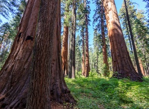
Hike the North Grove Trail in Calaveras Big Trees SP
5.01.7 mi / 40 ft gainWhen thinking of the iconic Sequoias of the Sierra Nevada, one usually thinks of Yosemite and Sequoia National Park. However, there is a often forgotten area of Giant Sierra Redwoods that gets far less traffic than the more popular groves. The North Grove Trail takes you through a grove of over 1...Read more -
Tuolumne County, California
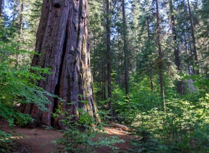
Hike the South Grove Trail in Big Trees SP
3.75 mi / 560 ft gainThe South Grove Trail of Calaveras Big Trees State Park sees far less traffic than the North Grove due to its increased mileage and distance from the park entrance. The trail starts at the South Grove Trail head which is located nine miles east of the entrance on the main park road. The trailhead...Read more -
Pinecrest, California
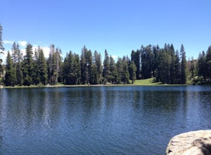
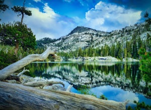
Backpack to Chain Lakes
4.4 mi / 864 ft gainThis trip begins at ~7500 feet at the Box Springs Trailhead This trail is at the end of Forest Route 3N20Y. The trail, which is not regularly maintained and may at times be hard to follow, initially descends slightly to 7300', then stays mostly flat before rising just before the lakes. You will p...Read more -
Kyburz, California
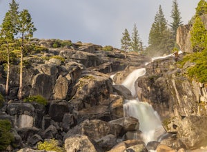
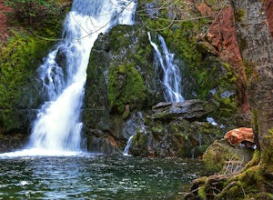
Hike to Bassi Falls
4.61.22 mi / 194 ft gain109' tall Bassi Falls is located in the Crystal Basin area of the El Dorado National Forest. These gorgeous falls at peak Springtime flow crash over enormous boulders and the water sheets over huge, flat slabs of granite. It is located off a rural, pot-holed dirt road (high clearance vehicles re...Read more -
South Lake Tahoe, California
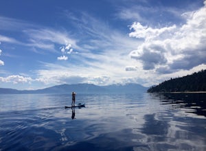
Paddle from Meeks Bay to D.L. Bliss
The water at Meeks Bay is perfectly crystal clear, a mix of different blues and greens – you can see the bottom floor in most places. Hug the buoy line to have a clear view to the lake's bottom, or cruise the dark blue waters where the lake falls off from 20ft deep to some of its deepest levels o...Read more -
Tahoma, California
Meeks Bay
4.7Nestled along the southwest shore of Lake Tahoe, Meeks Bay is a great destination offering a blend of outdoor adventure and relaxation. With its crystal-clear waters and sandy beaches, Meeks Bay is great for swimming especially on hot summer days or after hitting the trails. Whether you're see...Read more -
Tahoma, California
Backpack to Crag Lake
4.011.1 mi / 1220 ft gainDay 1:This trip is a great early season trip while you are waiting for the snow to melt in the high country or it could be a good first backpacking trip because of its proximity to the trailhead and the fact that it's a relatively easy hike. Also, you get to camp by a beautiful lake with a drama...Read more -
Carson City, Nevada
Hike the Spooner Lake Loop
2.2 mi / 150 ft gainThe Spooner Lake Loop is perfect for any ages since there is basically no elevation gain and many benches along the trail to rest. The trail offers many educational signs describing the history, and flora and fauna of the area. This man made lake is perfect for the kids and pup. They will love th...Read more -
Carson City, Nevada
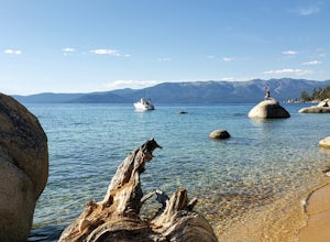
Skunk Harbor
4.02.83 mi / 564 ft gainSkunk Harbor is an out-and-back trail that takes you by a lake located near Glenbrook, Nevada.Read more -
Carson City, Nevada
Hike to Skunk Harbor
4.5The parking for Skunk Beach is very limited and a little difficult to find. Make sure you get there early if you want a spot. The parking is a turnoff along highway 28, about two miles north of the junction with highway 50. There is no trail sign or anything but there is an old green pipe gate wh...Read more -
Tahoe City, California
Hike the Ellis Peak Trail
5.06.3 mi / 1660 ft gainThe Ellis Peak Trail is close to North Lake Tahoe. The trail features scenic wildflowers in the spring and summer. Dogs are allowed on the trail but must be kept on leash. Directions from Truckee: Take Highway 80 south and drive to Tahoe City - continue south on Highway 89 from Tahoe City for 4....Read more -
Pollock Pines, United States
Hiking the Jenkinson Lake Loop Trail at Sly Park
4.0The Jenkinson Lake Loop Trail runs along Jenkinson Lake, making for an easy, shaded, and well-marked hike that the entire family can enjoy. The full loop is over eight miles, but can be easily modified into a shorter trip, as well.Along the way, you will see a variety of activities along the lake...Read more -
Homewood, California
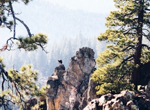
Eagle Rock
4.00.84 mi / 105 ft gainStarting at an outcrop off Highway 89 in Tahoe Pines, hikers make their way up the trail through a gradually sloping forest. Climbing rocks and logs, it is strenuous at times but only takes about 15-20 minutes to accomplish. Once at the top, the elevation is 6,286 feet and consists of an absolute...Read more -
Carson City, Nevada
Secret Harbor / Whale Beach
4.01.67 mi / 384 ft gainSecret Harbor / Whale Beach is an out-and-back trail that takes you by a lake located near Carson City, Nevada.Read more -
Bridgeport, California
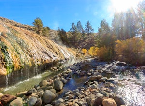
Buckeye Hot Springs
3.8From the parking lot, walk down the short but steep incline to the springs (200m). There is also a campsite within 0.25 miles.Read more

