Alpine County, California
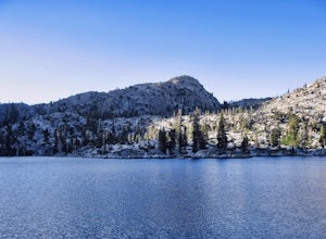
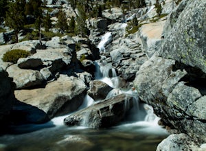
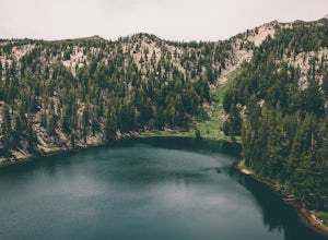
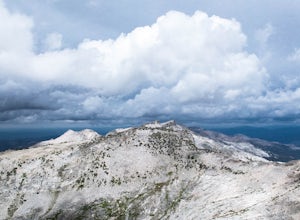
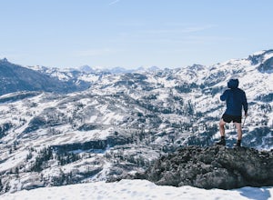
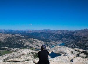
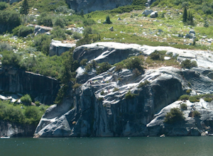
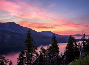
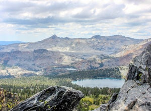
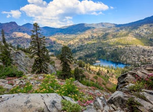
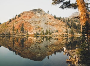
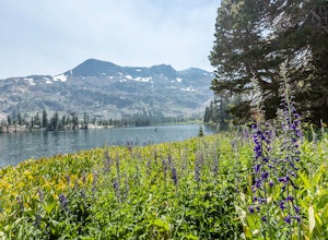
Alpine County, California, is home to some of the top trails and outdoor activities. One must-visit is the Mokelumne Wilderness hiking trail. This scenic route spans 42 miles, offering awe-striking views of granite peaks and alpine lakes. The trail is rated as moderate in difficulty, making it suitable for most fitness levels. Along the way, you'll pass by Frog Lake, a beautiful water body nestled among towering pines. Don't miss the chance to spot unique rock formations, a testament to the area's rich geological history. For those seeking a more relaxed outdoor adventure, fishing in the Carson River is another popular attraction. Known for its abundance of trout, it's a favorite among locals and visitors alike. Choose Alpine County for your next outdoor adventure, and you won't be disappointed.
Top Spots in and near Alpine County
-
South Lake Tahoe, California
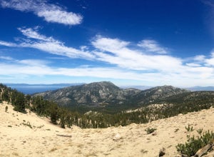
Bike to Star Lake
5.021 mi / 2300 ft gainStart out at the top of Corral Loop, in South Lake Tahoe, and begin the climb up Armstrong Pass. After the 4 mile ride up, you reach the split to either Mr. Toads or Star Lake. Continue another 2.5 miles up the steep and sandy climb to the saddle just below Freel Peak, the tallest peak in the bas...Read more -
Mono County, California
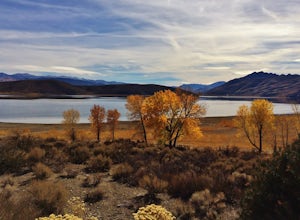
Take in the View at Topaz Lake
Topaz Lake is a family-friendly Lake within a days drive from Reno/ Lake Tahoe area. As you descend Washoe Valley into the Minden area, wonderful open pastures lend itself to gorgeous vistas.Read more -
Twin Bridges, California
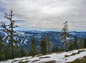
Hiking to Ralston Peak
4.07 mi / 2375 ft gainStarting at the lower lot it's less than a mile to access the trail. The hike starts off in shade through a lot of red fir forest and continues at a steady upward route. Approximately 45 mins into the hike you'll come across a sign that says you are entering desolation wilderness. The forest will...Read more -
Pinecrest, California
Camp at Baker Campground
5.0/ 6224 ft gainBaker Campground is a first come, first serve campground. Each site is equipped with a fire ring, picnic table, and bear boxes. The cost for a single family site is $20 per night and a double family site is $40 per night. The campground provides bathrooms and potable water. The campground is typi...Read more -
Twin Bridges, California
Ropi Lake via Pyramid Creek
4.74.87 mi / 1581 ft gainThe trailhead to begin this hike is located at: 38.8117 N, 120.1237 W. From Hwy 50 just south of Lake Tahoe, take Hwy 50 southwest for almost 11 miles, where you'll turn into the parking lot after crossing Pyramid Creek. There is a $5 day-use fee to park in the trailhead parking lot. The hike i...Read more -
Twin Bridges, United States
Hike Horsetail Falls
4.22.8 mi / 700 ft gainGreat views are waiting for you at the top of Horsetail Falls. Pyramid Creek flows down the steep, glacier carved granite faces of Desolation Wilderness to create this awesome waterfall that is estimated to be about 800 feet tall. You will follow Pyramid Creek up the granite rocks to the top of t...Read more -
Coleville, California
Hike to Tamarack Lake, Carson-Iceberg Wilderness
4.010 mi / 2000 ft gainThe trailhead begins at the end of Golden Gate Rd in Coleville, Ca on highway 396. There are very limited signs, so maps are necessary! Depending on how fast of a hiker you are, you can most likely reach the lake in 6 hours with minimal breaks. If you cannot start in the morning, there are beauti...Read more -
Twin Bridges, California
Hike Pyramid Peak via Rocky Canyon
5.07.4 mi / 4100 ft gainPyramid Peak is the tallest peak in the Crystal Range and the Desolation Wilderness, just west of Lake Tahoe. On a clear day it can be seen from the Bay Area over 150 miles away. Named for its distinct shape, Pyramid a massive heap of glaciated granite slabs and talus, and the Rocky Canyon route ...Read more -
Pinecrest, California
Lower & Upper Relief Valleys and the East Flange Rock
21.6 mi / 3600 ft gainThe Lower and Upper Relief Valleys are beautiful alpine valleys cut by Relief Creek in the heart of the Emigrant Wilderness and are an excellent alternative to Yosemite National Park if you're looking for solitude and no crowds. The East Flange Rock juts prominently over Lower Relief and is an ea...Read more -
Pinecrest, California
Climb Granite Dome via Lower & Upper Lewis Lakes
25 mi / 5000 ft gainGranite Dome is the signature peak in the Emigrant Wilderness, with fantastic views north to the Carson-Iceberg Wilderness, east to the Hoover Wilderness (Sawtooth Ridge), and south to Yosemite including, on a clear day, Cathedral Peak and the Cathedral Range.There are several routes up Granite D...Read more -
South Lake Tahoe, California
Cliff Jumping Paradise
4.5If you choose to go cliff jumping, be safe and know your limits ahead of time. Don't feel like the big jump is your only option, there are lower jumps, especially across from the beach (only about 15ft. high). Angora Lake in Lake Tahoe is a easy 1mi hike up, but well worth it at the top. It's a b...Read more -
South Lake Tahoe, California
Capture the Sunset at the Angora Ridge Fire Lookout
The Angora Ridge Fire lookout sits above the serene Fallen Leaf Lake with incredible views of Mt. Tallac and Desolation Wilderness. You can hike, bike or drive to the lookout. This is a great spot to photograph the sunset, as the sky will reflect off both Fallen Leaf Lake and Lake Tahoe. Bring a ...Read more -
South Lake Tahoe, California
Gilmore Lake in Desolation Wilderness
8.66 mi / 1919 ft gainThe easiest way to get to Gilmore Lake is to start at the Glen Alpine trailhead. The trail head is southwest of Fallen Leaf Lake. There is a decently sized parking lot at the trailhead, but parking is also available on the road up. Because desolation is a wilderness area, you must fill out a perm...Read more -
Tahoma, California
Glen Alpine Falls and Grass Lake
4.85.29 mi / 725 ft gainPark your car at the Glen Alpine Trailhead adjacent to Lily Lake and southwest of Fallen Leaf Lake. Head west on Glen Alpine Creek Trail passing Lily Lake on your left. After a little over a mile and a half of trekking through the alpine forest and taking in mountain views, you'll arrive at Alpin...Read more -
Tahoma, California
Susie Lake, Desolation Wilderness
5.07.96 mi / 1496 ft gainStarting at the Glen Alpine trailhead (best access to Susie Lake): To get to the trailhead, head toward Fallen Leaf Lake in South Lake Tahoe. From HWY 89, turn onto Fallen Leaf Rd and drive past the summer homes and marina until you reach a small firehouse on the left side of the road. You'll fol...Read more -
Tahoma, California
Hike to Half Moon Lake in Desolation Wilderness
5.011 mi / 1600 ft gainThis hike starts at the Glen Alpine Trailhead near Fallen Leaf Lake. Because Desolation is a wilderness area, you are required to fill out a day-use permit which can be found at the trailhead. If you are backpacking make sure to obtain an overnight permit either online or at the Taylor Creek Visi...Read more

