Alamo, California
The best trails and outdoor activities in Alamo, California, offer a variety of scenic and must-visit locations. One of the top choices is the Iron Horse Regional Trail, a popular hiking and biking path that stretches over 32 miles, passing through Alamo and connecting two counties. It's an easy to moderate trail with a flat, paved surface, making it accessible for all fitness levels. The trail offers views of the surrounding hills, creeks, and local wildlife. Another must-visit is Mount Diablo State Park, located near Alamo. This park offers challenging hikes with panoramic views, unique rock formations, and a variety of flora and fauna. Both locations offer great outdoor adventures for those seeking to enjoy Alamo's natural beauty.
Top Spots in and near Alamo
-
Richmond, California
Hike the Wildcat Canyon Loop
4.010.5 mi / 2300 ft gainStarting off on Wildcat Creek Trail, the trail is wide and rolling. After about 4 miles make a left on Jewel Trail, then onto Sylvan Trail. Another left puts you on Wildcat Peak Trail. Be sure to check your map, as many trails intersect here. Wildcat Peak Trail runs into Nimitz Way, at which poin...Read more -
Sunol, California
Hike the Pleasanton Ridge Trail
4.36.4 mi / 1443 ft gainPleasanton Ridge Trail is a 6.4 mile loop. The loop is shared by dog walkers, trail runners, hikers, mountain bikers and horseback riders. From the ridge your viewpoints will include Mount Diablo and the San Francisco Bay. This hike from the Foothills Staging Area is an excellent introduction ...Read more -
Vallejo, California
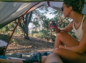
Camp at Mare Island Shoreline Heritage Preserve
1 mi / 20 ft gainThis old Naval Base is now home to, well, almost nothing. As a weekend volunteer trip, myself and about 50 others got a little dirty creating 3 new campsites for you and your friends!During the day, the island has hikers exploring everywhere, but the preserve closes upon sunset and it's just you ...Read more -
Richmond, California
Explore Point Pinole Shoreline
5.0Point Pinole Regional Shoreline is a 2,315-acre parkland that juts out into the San Pablo Bay. Only a brief car ride from San Francisco, this is a great spot for a Sunday stroll, picnic or simply to find a quiet space.There are several short trails to choose from that wind through eucalyptus grov...Read more -
San Francisco, California
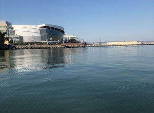
Paddle at Crane Cove
5.0Crane Cove is a beautiful waterfront park with access for paddle boards and kayaks. This area is protected from the wind (it will be less choppy here than in the middle of the bay). If you decide to paddle up to mission bay or down towards Islais Creek you'll most likely face more currents and w...Read more -
San Francisco, California
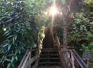
Run the Coit Tower Stairs
3.8There are 2 sets of stairs for Coit Tower on Sansome St. The first set is at Greenwich and the second is at Filbert. The Filbert steps are a little deeper per step and are mostly wood and concrete. The Greenwich steps are a little tougher because of the shallower, brick stairs as you get toward t...Read more -
San Francisco, California
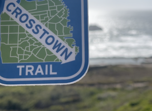
San Francisco Crosstown Trail
5.016.71 mi / 1975 ft gainThe San Francisco Crosstown Trail runs point-to-point from Candlestick Point to Land End. The SF Crosstown Trail officially opened in 2014. It connects park trails to neighborhoods and communities. In it's in entirety it's almost 17 miles long with 5 Sections available for those looking to bre...Read more -
San Francisco, California
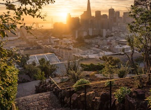
Catch a Sunrise at Ina Coolbrith Park
5.0This tucked away neighborhood gem is less than a square block in size, but offers some of the best views of San Francisco. After a quick, but steep, 5 minute walk, you'll be rewarded with incredible views of: the city skyline, Coit Tower, Alcatraz, and the Bay Bridge. There are a few benches avai...Read more -
Fremont, California
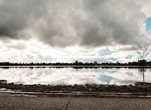
Lake Elizabeth Loop
3.02.1 mi / 69 ft gainLake Elizabeth is located in central Fremont. It offers a nice break from the city streets and can be enjoyed by walkers, joggers, and bikers alike. It is a park for all ages. Other attractions include volleyball nets, multiple playgrounds, and aqua adventure park, geese, and peddle boats. ...Read more -
San Francisco, California
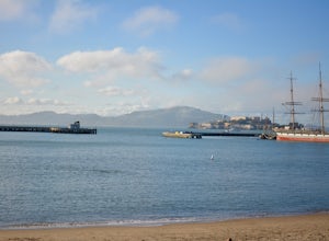
Aquatic Park
3.7Take an early morning swim and watch the sunrise over the east bay or catch an afternoon swim on a sunny SF day. A full lap around the buoys (out-and-back) is about 1/3 mile and the perimeter of the park is 1 mile. Bring your dog for a swim too! Afterward, you can head up Columbus to one of the m...Read more -
Richmond, California
Picnic at Point Molate Beach Park
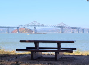
The beach park is very small but has sand along the shore for water access. Along the small cliffs of the beach there are picnic tables and grills for a nice cookout and family picnic. This beach would also be a great place for kayaking or standup paddle boarding as it is fairly secluded and away...Read more -
San Francisco, California
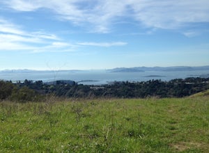
Bayview Hill Loop
4.01.24 mi / 184 ft gainBayview Hill Loop is a loop trail that starts with a paved uphill climb and views of the bay facing toward the East Bay located in the Bayview neighborhood of San Francisco, California.Read more -
San Francisco, California
Fort Mason
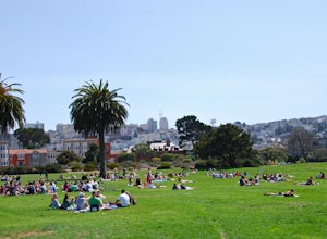
4.8When the sun comes out in San Francisco, Fort Mason's Great Meadow Park transforms into ground zero for bocce ball, corn hole, wiffle ball, music, dancing, wine, and beer. While it lacks the diversity and quirkiness found at Dolores Park, it makes up for it with a beautiful panoramic view of the ...Read more -
Tiburon, California
Angel Island Perimeter Loop
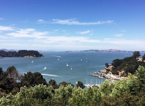
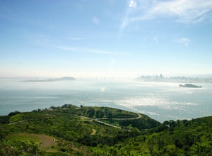
5.98 mi / 794 ft gainAngel Island Perimeter Loop is a loop trail around the circumference of the island in the San Francisco Bay. The island is located near Tiburon, California with views of downtown San Francisco, Alcatraz, the Golden Gate Bridge, Oakland, Sausalito, and TIburon as you traverse around the island. ...Read more -
Belvedere Tiburon, California
Mt. Livermore via North Ridge Trail
4.54.92 mi / 1178 ft gainUnless you own a boat or a kayak, this adventure requires a ride on the Blue and Gold Ferry from Pier 41 in San Francisco. But let’s be honest, that’s actually half the fun. Who doesn’t love a ferry ride? Angel Island State Park is the largest island in the Bay, and recommend the 6-mile loop aro...Read more -
Tiburon, California
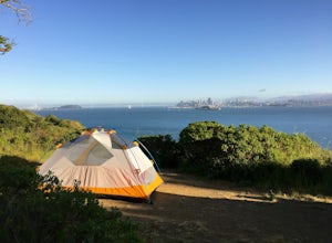
Camp on Angel Island
5.0Thousands of years ago, this island was a fishing and hunting ground for the Miwok Native Americans. It has also been an outpost for the U.S. Army and a cattle ranch. Now, it’s one of the closest places to escape from the hustle of San Francisco and set up camp. Camping on the island requires ba...Read more

