Agoura Hills, California
Looking for the best chillin in Agoura Hills? We've got you covered with the top trails, trips, hiking, backpacking, camping and more around Agoura Hills. The detailed guides, photos, and reviews are all submitted by the Outbound community.
Top Chillin Spots in and near Agoura Hills
-
Ojai, California
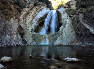
Matilija Falls
5.08.6 mi / 0 ft gainNote: This trail is temporarily closed. For more updates, please visit the Forest Service website for more updates. ...If you've read most of my blogs, you'll probably notice I have a fascination for waterfalls! I've done this hike multiple times, but it wasn't until this day where I saw these ...Read more -
Ojai, California
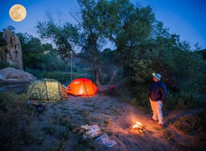
Camp at Rose Valley
5.0Close to Ventura and Ojai, California, this spot is an easy weekend getaway from the hectic coast of Ventura. Follow Highway 33 east toward Ojai. This road will lead into the Los Padres National Forest and become very curved and sleep as it gets closer to Rose Valley. The sign for the Park with b...Read more -
Arcadia, California
Hermit Falls Trail
4.82.49 mi / 1014 ft gainNote: Hermit Falls is Temporarily Closed From Roberts Camp, many hikers will head to Sturtevant Falls, which is an amazing 60-foot waterfall. But, if you choose to head in the opposite direction on First Water Trail, you’ll be rewarded with a fresh water swimming hole at this 35-foot tumbling wa...Read more -
Long Beach, California
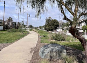
Red Car Greenbelt
5.00.63 mi / 0 ft gainThe Greenbelt used to be the right-of-way for the long lost Pacific Electric Red Car, an amazing system of public transportation that connected Long Beach, LA, Orange Coutny, and even San Bernardino. The pathways are landscaped with plants typical of the area and plenty of native flowers for the...Read more -
Long Beach, California
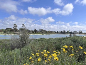
Colorado Lagoon
5.00.95 mi / 30 ft gainThe Colorado Lagoon is a wetland that is being restored. To make this 1 mile walk into a loop, you have to walk along sidewalks near the park. This is a very kid-friendly destination. This trail crosses over the lagoon on a boardwalk. It also accesses a sandy swimming beach with restrooms, picnic...Read more -
Palmdale, California
Hike to Vetter Mountain and the Fire Lookout Tower
2.8 mi / 550 ft gainIf you're looking for an easy mountain to hike, and perhaps give the kids something interesting to learn about at the top, then Vetter Mountain may fit the bill. At 5,908', and with a trailhead at about 5,350', this 1.4 mile (one way) hike only climbs about 550' vertical. The trailhead is loca...Read more -
Monrovia, California
Monrovia Falls
3.71.46 mi / 459 ft gainMonrovia Falls is closed indefinitely due to the Bobcat Fire and mudslides. Read more on the CityofMonrovia.org website. The Monrovia Falls are at the end of the main trail located in Monrovia Canyon Park. The park is easy to locate and has ample parking. Keep in mind you do have to pay a fee of...Read more -
Ventura, California
Cavern Point & Potato Harbor Loop
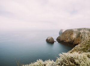
4.99 mi / 545 ft gainTucked away in the Pacific Ocean just 25 miles from the coast, the Channel Islands are one of Southern California’s hidden gems. With towering cliffs and isolated beaches that hug the coast, this place makes you feel worlds away from home. Channel Islands National Park is comprised of five island...Read more -
Palmdale, California
Camp at Chilao Campground
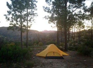
4.3While not as popular as shady Buckhorn Campground up the road, Chilao offers the better views and greater chances of scoring a peaceful and private campsite. There are two campsites located here (and two group camps down in the valley). Sites are first come, first serve, and cost $12 (bring exact...Read more -
Carpinteria, California
Camp at Carpinteria State Beach
3.7There are 2 campgrounds close to Rincón, but Carpinteria State Beach is a little bigger and easier to find a spot. There are 4 campgrounds: Santa Cruz, Anacapa, San Miguel and Santa Rosa. Most of them are RV sites, but if you stay at Santa Cruz Campground you can set your tent right at the beach,...Read more -
Lancaster, California
Antelope Valley Poppy Reserve
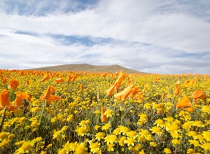
5.02 mi / 900 ft gainIf you're going during wildflower season, start your adventure at the visitors center at the end of 150th St. W. Parking in the lot outside the visitors center is $10, but there is ample street parking that is free. In the visitors center you can read more about the reserve, plan your hike, and s...Read more -
Maricopa, California
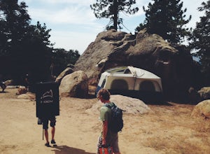
Camp and Boulder at Pine Mountain
Pine Mountain is closed intermittently for the winter season due to snowfall, usually from November through February. Outside of those months, take the Highway 33 north out of Ojai, heading north for about an hour and a half. You’ll see a large turnout as well as a sign reading “Pine Mt Road” on ...Read more -
Avalon, California
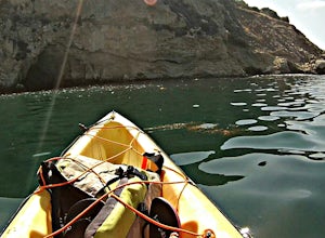
Camp at Parsons Landing
5.07 mi / 0 ft gainThe distance can vary depending on where you start. It is a 2.5 mile hike from Emerald Bay or 7 mile hike from Two Harbors or you can kayak in. There are 8 primitive campsites (6 people/ site) which means there is no running water, no supplies...you must pack in everything. The campsites are spre...Read more -
Maricopa, California
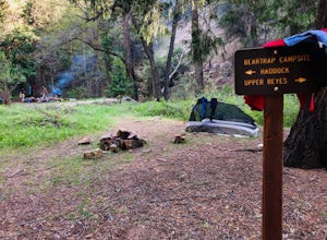
Bear Trap Campground via Gene Marshall/Piedra Blanca Trail
9.59 mi / 2211 ft gainThere's no better feeling then camping out and having a whole site to you and your friends...wouldn't you agree?!?! ...Deep in the Sespe Wilderness in Ojai, California sits a tucked away, well-managed campsite called "Bear Trap Campground". This campsite can be reached at any point of the year a...Read more -
Seal Beach, California
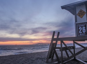
Sunset Beach
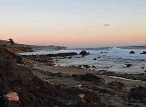
4.6Sunset Beach is located just 9 miles south of Long Beach and 6 miles North of Huntington Beach, CA on the famous Pacific Coast Highway 1. I accessed Sunset Beach from the South on I-405. I took exit 22 for Seal Beach. After the exit I turned a left/west on Seal Beach Blvd and drove for 2.6 miles ...Read more

