Acton, California
Top Spots in and near Acton
-
Azusa, California
Little Jimmy Trail Camp
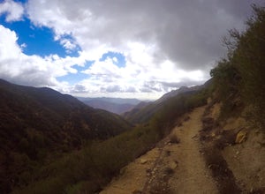
4.33.36 mi / 607 ft gainTake Hwy 2 out of La Canada north along Angeles Crest Highway. Follow this for quite some time enjoying the fine views in all directions. After traveling through two consecutive tunnels continue to the Islip Saddle parking lot (on left). There will be a vault toilet & a picnic table. Display ...Read more -
Los Angeles, California
Los Angeles River: West Bank Trail
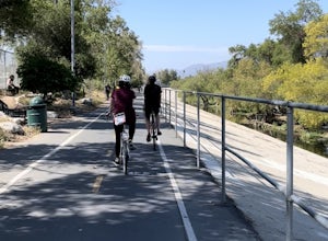
5.014.4 mi / 331 ft gainLos Angeles River: West Bank Trail is an out-and-back trail that is good for all skill levels located near Los Angeles, California.Read more -
Pasadena, California
Lower Arroyo Seco Loop
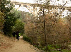
4.02.88 mi / 230 ft gainNestled next to the CA-134, this trail presents a relaxing atmosphere while only a 30 minute drive from Downtown Los Angeles and a 5 minute drive from Old Town Pasadena. From bird-watching to archery, this trail provides a peaceful atmosphere with no lapse in beauty. The trail which is around 1....Read more -
Castaic, California
Paddle Castaic Lake State Recreational Area
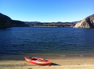
6 miCastaic Lake is a man made reservoir located 41 miles north of downtown Los Angeles, CA in the town of Castaic. Made up of two bodies of water, separated by a 425-foot dam, Upper and Lower Castaic Lakes have a combined 29 miles of shoreline forming the Castaic Lake State Recreational Area. The s...Read more -
Los Angeles, California
Reseda Point
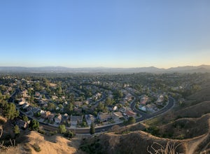
4.00.2 mi / 30 ft gainFrom the 118 FWY, exit Reseda and head north until you pass by Calle Vista Circle. Once passed, make a U-turn and park on the side of the street. Here you will find the trailhead for the Palisades Trail Hike. To get to the scenic lookout, simply walk up the short trail leading up the hill, and h...Read more -
Monrovia, California
Monrovia Falls
3.71.46 mi / 459 ft gainMonrovia Falls is closed indefinitely due to the Bobcat Fire and mudslides. Read more on the CityofMonrovia.org website. The Monrovia Falls are at the end of the main trail located in Monrovia Canyon Park. The park is easy to locate and has ample parking. Keep in mind you do have to pay a fee of...Read more -
Dawson Saddle, California
Hike to Throop Peak, Mt. Hawkins, and Mt. Burnham
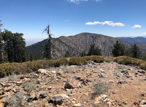
8 mi / 2000 ft gainThe trailhead, or pair of trailheads actually, is at a location on the Angeles Crest Highway (CA-2) called Dawson's Saddle. There are a couple of parking areas along the side of the highway, and each of the pair of trailheads begins at either end of this parking area. The trailheads aren't mark...Read more -
Azusa, California
Lewis Falls
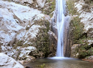
1 mi / 732 ft gainLocated deep in the Angeles National Forest above Azusa, this short but at times challenging hike rewards you with a beautiful fifty-foot waterfall. The base of the waterfall is only a foot at its deepest, so I wouldn't rush to bring a bathing suit with you. Protected by the heavy forestry around...Read more -
Azusa, California
Smith Mountain Trail
6.69 mi / 3189 ft gainSmith Mountain Trail is an awesome day hike located near Glendora, California. This out-and-back trail offers great views of the Los Angeles National Forest and the potential for continuation to Bear Creek for even more variety of scenery. Smith Mountain is a moderately strenuous hike with an el...Read more -
Los Angeles, California
Porter Ranch Ridge
4.03.36 mi / 548 ft gainPorter Ranch Ridge is an out-and-back trail where you may see local wildlife located near Los Angeles, California.Read more -
Los Angeles, California
Griffith Park Old Zoo Loop
4.02.52 mi / 666 ft gainThe Griffith Park Old Zoo Loop is a 2.52-mile moderately trafficked loop trail located in Griffith Park, Los Angeles. Due to its length and minimal elevation gain of ~670 feet, the hike is open to all skill levels. The trail is primarily used for walking, hiking, and trail running, The Griffith P...Read more -
Los Angeles, California
Mount Hollywood via the Fern Canyon Trail
5.05.02 mi / 1581 ft gainAt 1,625 feet Mt Hollywood is the second highest point in Griffith Park and provides picturesque views of the Hollywood Sign, Griffith Park Observatory, Downtown Los Angeles and the San Gabriel Mountains. The hike to the Mt Hollywood Summit begins on the northeast side of Griffith Park near the ...Read more -
Los Angeles, California
Glendale Peak via Henry's Trail
4.02.07 mi / 915 ft gainGlendale Peak is often passed over by people hiking to Mt. Hollywood, and while it is not as high as its neighbor summit, it boasts arguably better views that you will enjoy all to yourself. While not really a full hiking trail and more of a small detour, Henry's Trail is worth the small uphill c...Read more -
Stevenson Ranch, California
Mentryville: Pico Canyon Trail
7.07 mi / 1388 ft gainMentryville: Pico Canyon Trail is an out-and-back trail that takes you past scenic surroundings located near Stevenson Ranch, California.Read more -
Los Angeles, California
Hollyridge Trail to the Hollywood Sign [Closed]
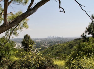
4.13.5 mi / 383 ft gainThis trail is closed as is the Beachwood Gate which is used to access the Hollyridge Trail will be permanently closed on April 18th, 2017 due to a court order. Check out Hollywood Sign via Brush Canyon Trail for an available option. There are three ways to get to the Hollywood Sign. This route ...Read more -
Los Angeles, California
Beacon Hill via Coolidge Trail
5.02.84 mi / 587 ft gainThe starting point for your run is at the Griffith Park Southern Railroad. From the parking lot walk east crossing Crystal Springs Drive and find the Coolidge Hiking Trail. Begin running up Coolidge Trail toward Upper Beacon Trail making sure to stay straight at the first intersection (0.2 miles)...Read more




![Hollyridge Trail to the Hollywood Sign [Closed]](https://images.theoutbound.com/contents/101823/assets/1421740399247?w=300&h=220&fit=crop&q=60&s=2a530c5406ca77dd7baf662c74a58ba1)
