Russellville, Arkansas
Top Spots in and near Russellville
-
Witts Springs, Arkansas
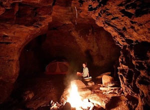
Backpack to the Sandstone Castles
5.08 mi / 1000 ft gainFrom the Richland Creek campground, Twin Falls is an approximate 3 mile hike followed by another mile (give or take) to the "Castles". Directly above a small camping area on top of Twin Falls there begins a more primitive trail up the center on the ridge that will take you straight to the enormou...Read more -
Witts Springs, Arkansas
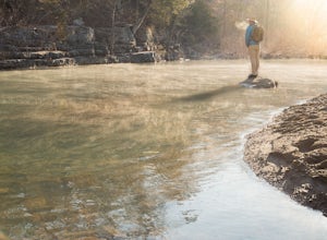
Camp at Richland Creek Campground
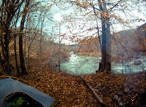
5.0This is one of my favorite places to camp in Arkansas. Once you get there you can hike to Twin Falls or Sandstone Castle, or explore the numerous cascades along Richland Creek. It's a relatively small campground with 11 campsites, but has a lot of places to hang hammocks and also offers a picnic ...Read more -
Witts Springs, Arkansas
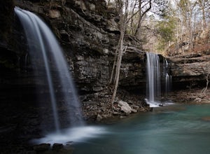
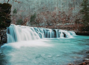
Hike to Twin Falls in the Richland Creek Wilderness Area
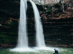
4.05 mi / 200 ft gainThis hike begins at Richland Creek Campground. There's a trace trail that begins from the lowest walk-in campsites and continues along Richland Creek as you head back towards the waterfall. Parking and trailhead coordinates are 35.79839, -92.95774. It's not quite a bushwhack, but it's still a pre...Read more -
Witts Springs, Arkansas
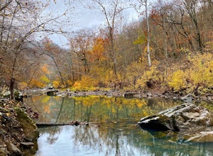
Richland Creek Campground Trail
5.03.53 mi / 292 ft gainRichland Creek Campground Trail is an out-and-back trail that takes you by a waterfall located near Witts Springs, Arkansas.Read more -
Witts Springs, Arkansas
Richland Falls and Twin Falls of Richland Creek
4.04.8 mi / 472 ft gainThe hike to Richland Falls and Twin Falls of Richland creek begins at the Richland Creek Campground. From the entrance of the campground take the road to the right heading to the day use area. The trailhead is found at the end of the day use area. The trail immediately begins with a crossing of...Read more -
Jefferson Township, Arkansas
Hike the Glory Hole Falls Trail
4.42 mi / 345 ft gainThis trail and waterfall is located 13.8 miles south of Boxley, AR or 5.7 miles east of Fallsville, AR. The easiest way to get to the trailhead is to locate the Cassville Baptist Church on your GPS system. If you are headed east, the church is 0.7 miles east of the trail. If you are headed west, ...Read more -
Mount Judea, Arkansas
Owens Mountain Bluffs Trail
5.00.65 mi / 79 ft gainOwens Mountain Bluffs Trail is a loop trail where you may see beautiful wildflowers located near Mount Judea, Arkansas.Read more -
Mount Judea, Arkansas
Ricketts Mountain Bluffs Trail
5.00.43 mi / 59 ft gainRicketts Mountain Bluffs trail is a loop trail that takes you through a nice forest located near Mount Judea, Arkansas.Read more -
Mount Judea, Arkansas
Hike Sam's Throne
5.00.5 miThis hike starts at the Sam's Throne Campground parking area. Once you walk to the end of the campground there is a fence with three different entrances that all lead to different trails. Take the middle trial for the shortest and easiest hike to the bluffs. This hike is very easy and only tak...Read more -
Witts Springs, Arkansas
Hike to Punchbowl Falls
3.24 mi / -600 ft gainGo in the early Fall or late Spring! You start off on the Ozark Highland Trail. As you start walking along the trail you can see where people have slept the night before. Camping is acceptable out here, you do not have to pay, but the downside is that the closest town is about an hour away so if ...Read more -
Deer, Arkansas
Hike to Magnolia Falls
5.02.5 miThis adventure starts at the parking area that is marked by a Wilderness Area sign. The trailhead is actually the old jeep trail that makes its way through the woods. Follow the jeep trail past a few old campsites and an camping registration box. The trail will cross over a small creek bed and...Read more -
Mountain Pine, Arkansas
Caddo Bend Trail
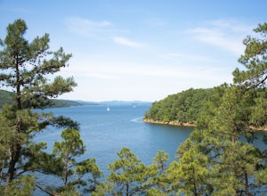
3.84 mi / 574 ft gainCaddo Bend Trail is a loop trail that takes you by a lake located near Mountain Pine, Arkansas.Read more -
Mountain Pine, Arkansas
Hike the Caddo Bend Trail
5.04 miLocated within the Lake Ouachita State Park, the Caddo Bend Trail is an wonderful 2-3 hour hike. Although promenently covered by shade the entire 4 miles, the Ouachita Lake area can be very hot in the summer and the trail should be done in the morning or late afternoon. Either way, I nice dip in ...Read more -
Kingston, Arkansas
Neil Compton's Double Falls
4.02.15 mi / 404 ft gainThe parking area for Neil Compton’s Double Falls is approximately 1.1 miles past the trailhead for Hawksbill Crag on Cave Mountain Road. Cave Mountain Road is steep and can get pretty muddy after a good rain. A vehicle with 4WD is recommended although plenty of people make it up in small cars. ...Read more -
Kingston, Arkansas
Backpack Along Whitaker Creek
5 miAfter arriving at the Whitaker Point/Hawksbill Crag trailhead, start going down the path for about 1/8th of a mile. You’ll cross a small stream, and here is where you’ll turn off the trail. Using Whitaker Creek as your guide, follow it like a handrail as it descends down into the confluence with ...Read more -
Kingston, Arkansas
Hawksbill Crag via Whitaker Point Trail
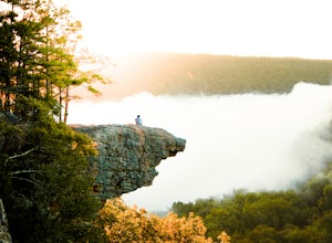
4.52.68 mi / 594 ft gainHawksbill Crag aka Whitaker Point is one of the most popular hiking spots in all of Arkansas and only ~60 miles from Fayetteville. However, doing the hike early in the morning provides one of the best places of all time to watch a sunrise. You begin at the trail marker which is straight across ...Read more

