Peel, Arkansas
Looking for the best hiking in Peel? We've got you covered with the top trails, trips, hiking, backpacking, camping and more around Peel. The detailed guides, photos, and reviews are all submitted by the Outbound community.
Top Hiking Spots in and near Peel
-
Mount Judea, Arkansas
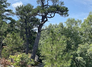
Owens Mountain Bluffs Trail
5.00.65 mi / 79 ft gainOwens Mountain Bluffs Trail is a loop trail where you may see beautiful wildflowers located near Mount Judea, Arkansas.Read more -
Witts Springs, Arkansas
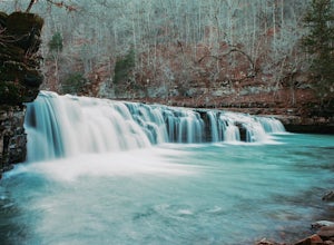
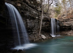
Richland Falls and Twin Falls of Richland Creek
4.04.8 mi / 472 ft gainThe hike to Richland Falls and Twin Falls of Richland creek begins at the Richland Creek Campground. From the entrance of the campground take the road to the right heading to the day use area. The trailhead is found at the end of the day use area. The trail immediately begins with a crossing of...Read more -
Witts Springs, Arkansas
Richland Creek Campground Trail
5.03.53 mi / 292 ft gainRichland Creek Campground Trail is an out-and-back trail that takes you by a waterfall located near Witts Springs, Arkansas.Read more -
Witts Springs, Arkansas
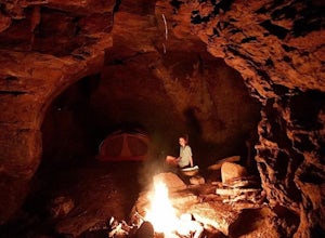
Camp at Richland Creek Campground
5.0This is one of my favorite places to camp in Arkansas. Once you get there you can hike to Twin Falls or Sandstone Castle, or explore the numerous cascades along Richland Creek. It's a relatively small campground with 11 campsites, but has a lot of places to hang hammocks and also offers a picnic ...Read more -
Witts Springs, Arkansas
Hike to Twin Falls in the Richland Creek Wilderness Area
4.05 mi / 200 ft gainThis hike begins at Richland Creek Campground. There's a trace trail that begins from the lowest walk-in campsites and continues along Richland Creek as you head back towards the waterfall. Parking and trailhead coordinates are 35.79839, -92.95774. It's not quite a bushwhack, but it's still a pre...Read more -
Witts Springs, Arkansas
Backpack to the Sandstone Castles
5.08 mi / 1000 ft gainFrom the Richland Creek campground, Twin Falls is an approximate 3 mile hike followed by another mile (give or take) to the "Castles". Directly above a small camping area on top of Twin Falls there begins a more primitive trail up the center on the ridge that will take you straight to the enormou...Read more -
Jasper, Arkansas
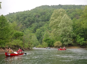
Paddle the Buffalo National River: Ponca to Kyle's Landing
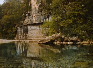
5.010.3 miPut in at the Ponca Bridge, or Steel Creek if the water is too low, for the most scenic float in Arkansas. Paddle surrounded by 3-400 foot bluffs, and through slightly challenging water here and there. Great float for kids as there are plenty of swimming holes.I've done this with my own elementar...Read more -
Jasper, Arkansas
Buffalo River Trail: Ponca to Steel Creek
4.35 mi / 1079 ft gainStart this adventure by crossing the Ponca Low Water Bridge over the beautiful Buffalo National River and proceed up the path till you reach the trail sign on the other side. You have the option of going either right or left at this point, follow the sign to the left and you will see a gate (sim...Read more -
Kingston, Arkansas
Eden Falls via Lost Valley Trail
4.92.32 mi / 453 ft gainThis is a beautiful trail that is easily accessible and only a short 3 mile hike. Start at the trailhead on the north end of the parking area. There is a map and some details about the main features of the trail. The first main feature that you come to on the trail is a beautiful bluff with a ...Read more -
Witts Springs, Arkansas
Six Finger Falls
5.00.03 mi / 0 ft gainSix Finger Falls is an out-and-back trail that takes you by a waterfall located near Witts Springs, Arkansas.Read more -
Sand Gap, Arkansas
Relax at Falling Water Falls
5.0This is definitely a hidden gem located in the middle of nowhere. This waterfall is literally on the side of the road, which makes for a great place to stop and have lunch. During the summer it doubles as a swimming hole and great place to chill. Getting there: Take Hwy. 16 east from Pelsor (loc...Read more -
Kingston, Arkansas
Hike Big Spring Trail
5.5 mi / 500 ft gainBig Spring Trail is located in Smith Creek Preserve just south of Boxley, Arkansas. There is a small parking area at the entrance. Detailed maps of the area provided by The Nature Conservancy can be found just past gate. Walk through the gate and begin your hike with a steady decline down the s...Read more -
Witts Springs, Arkansas
Hike Pedestal Rocks Loop
4.52.2 mi / 200 ft gainShortly after the trailhead, you’ll come to a three-way intersection. Head straight on Pedestal Rocks Trail to make a counterclockwise loop. Follow through the woods until you reach the bluff line. Check out the ledges along the way and you’ll begin to see the pedestal rock formations. There ar...Read more -
Kingston, Arkansas
Hike to Sweden Creek Falls
4.01.5 miProceed to Sweden Creek Falls Natural Area near Kingston, Arkansas. Find somewhere to park near the gate along the dirt road. The trailhead is located beside the gate. Follow the old jeep path and continue past the old abandoned house on the right. Once the path ends, look for the blue trail m...Read more

