Lowell, Arkansas
Top Spots in and near Lowell
-
Tahlequah, Oklahoma
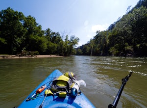
Kayak the Illinois River
4.0From Tulsa, head out east along US-412 until you reach US-82. Take Exit 6 and go right (south) along US-82 until you reach E Steely Hollow Rd. Turn left and follow E Steely Hollow Rd. until you reach the T-intersection with OK-10. Pull into a parking space at the Illinois River Store and buy a ma...Read more -
Harrison, Arkansas
Hike to Paige Falls and Broadwater Hollow Falls
5.00.5 mi / 100 ft gainAlthough there is no official trailhead, Paige and Broadwater Hollow Falls can be accessed off of NC 2660 in Compton, Arkansas. Once on NC 2660, head straight down this rugged gravel road for approximately 2 miles. Soon you’ll reach a sharp bend to the left with a small parking area just before...Read more -
Harrison, Arkansas
Indian Creek to The Eye Of The Needle
5.04.27 mi / 705 ft gainStarting at approx. 900' in elevation, this 5 mile out and back hike ascends 700' in elevation to 1,400 at the highest point- The Eye of The Needle. The trail head is located next to the Buffalo River sign at Kyles Landing on the West side of the campground. You will follow the trail less than ...Read more -
Deer, Arkansas
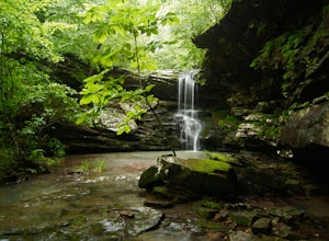
Hike to Magnolia Falls
5.02.5 miThis adventure starts at the parking area that is marked by a Wilderness Area sign. The trailhead is actually the old jeep trail that makes its way through the woods. Follow the jeep trail past a few old campsites and an camping registration box. The trail will cross over a small creek bed and...Read more -
Harrison, Arkansas
Backpacking Cecil Creek
5.08 miFrom Tulsa, head out east along US-412 until you reach HWY 103. Take a right (south) on HWY 103 and follow it toward Compton, Arkansas. Shortly before reaching Compton, take the dirt road on the right (before the road starts to head north), and follow the road south. Keep on it as it bends to the...Read more -
Harrison, Arkansas
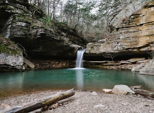
Hike to Hideout Hollow
4.02 miAfter parking at the trailhead, head down the well-trodden path and follow it the 0.85 miles downhill to the overlook. Once you are at the overlook, go left and follow the path as it loops around the top of the overhang. You’ll arrive at a small creek (which creates the waterfall that flows into ...Read more

