Huntsville, Arkansas
Top Spots in and near Huntsville
-
Winslow, Arkansas
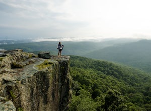
White Rock Rim Trail
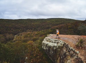
5.02.08 mi / 335 ft gainThe trail around the Rim of White Rock Mountain is one of the best trails for vantage points. Nestled in the beautiful Boston Mountains in north central area of Arkansas. The White Rock Rim trail is an easy 2 mile loop trail that is moderately hiked year round. Start at the parking area and he...Read more -
Jasper, Arkansas
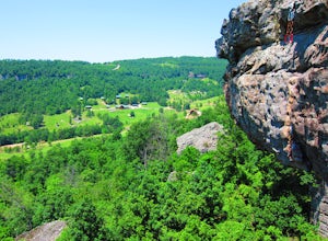
Climb at Horseshoe Canyon Ranch
4.7Horseshoe Canyon Ranch (HCR) 36°0'25"N 93°17'23"W is located just West of Jasper, Arkansas and hosts hundreds of sport/trad climbing routes ranging from 5.6 to 5.13a! Driving into the canyon, you will follow along a dirt road to the gate for Horseshoe Canyon. Continue down, past the barn to the...Read more -
Mulberry, Arkansas
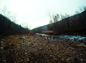
Backpack along Hurricane Creek
6 miAfter arriving at the trailhead near the Shores Lake Campground (there is a $3 parking fee, so bring cash), head along the path and go west at the T-junction. Continue going west/northwest and you’ll cross over a forest road. Stay on the trail as it gradually descends, then veer off-trail to the ...Read more -
Jasper, Arkansas
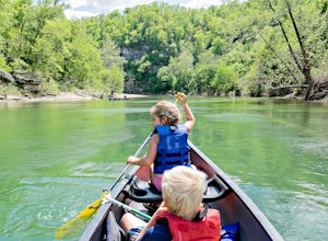
Canoe or Kayak the Buffalo River From Pruitt Landing to Hasty
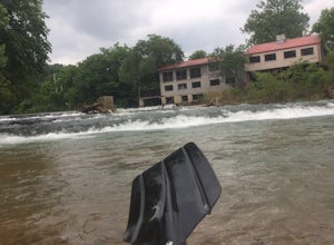
5.0The Buffalo River is America's first National River and flows freely for 135 miles. Many of the upper sections are whitewater, but lower down there are some great, flat, easy paddling spots that are fantastic for canoes!As with all river paddling you need to first shuttle a car down to the take o...Read more -
West Fork, Arkansas
Yellow Rock Trail
4.03.25 mi / 531 ft gainYellow Rock Trail offers an easy loop hike with stunning views of the Ozark Mountains. The trail is located just south of Fayetteville, AR in Devil’s Den State Park. From the entrance, follow the main road past the visitors center. You’ll pass a small lake and recreational area on the left. T...Read more -
Winslow, Arkansas
Devil's Den Trail
5.01.26 mi / 315 ft gainThe Devil's Den Trail, in Devil's Den State Park, is a haven of vivid green along Lee Creek. This is the perfect hike for families, photographers, and those new to the Ozarks. The trail is a modest 1 1/2 miles with little elevation gain. In that compact span it weaves past gravity fed seeps, dri...Read more -
Bella Vista, Arkansas
Kayak Little Sugar Creek
5.0Little Sigar Creek comes out of Bella Vista Lake, this upper section down through the golf courses is great fishing when the water is up. Little Sugar is a hidden gem in the middle of Northwest Arkansas and Southwest Missouri. The section of creek that flows through Missouri is my favorite to kay...Read more -
Mount Judea, Arkansas
Owens Mountain Bluffs Trail
5.00.65 mi / 79 ft gainOwens Mountain Bluffs Trail is a loop trail where you may see beautiful wildflowers located near Mount Judea, Arkansas.Read more -
Mount Judea, Arkansas
Ricketts Mountain Bluffs Trail
5.00.43 mi / 59 ft gainRicketts Mountain Bluffs trail is a loop trail that takes you through a nice forest located near Mount Judea, Arkansas.Read more -
Hagarville, Arkansas
Backpack to the Natural Bridge
5.08 miAfter you drive across the one-lane bridge and take the dirt road immediately after it, follow that dirt road until it begins to bend to the left. Park your vehicle in the turnoff on the right, and be sure to lock it and take (or hide) any valuables in it. Even though it’s relatively remote, rand...Read more -
Hagarville, Arkansas
Pam's Grotto Trail
4.00.92 mi / 384 ft gainGetting to this trailhead is the most difficult part. The small parking area/campground is located about a half mile east of the Haw Creek Falls Campground. You will see a pull off on the east side of the road where you can park your car. Once you are ready to hit the trail you will cross the ro...Read more -
Hagarville, Arkansas
Haw Creek Falls Trail
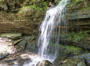
5.00.18 mi / 33 ft gainHaw Creek Falls Trail is an out-and-back trail that takes you by a waterfall located near Hagarville, Arkansas.Read more -
Bella Vista, Arkansas
Tanyard Creek Nature Trail
4.52 mi / 217 ft gainTanyard Creek Nature Trail is tucked away in the Bella Vista, Arkansas area. The trail may be a small loop of 2.2 miles, but offers everything you crave from any scenic hike. Also, the land is on private property, but open to the public. You'll start off in semi urban neighborhood with a large ...Read more -
Mount Judea, Arkansas
Hike Sam's Throne
5.00.5 miThis hike starts at the Sam's Throne Campground parking area. Once you walk to the end of the campground there is a fence with three different entrances that all lead to different trails. Take the middle trial for the shortest and easiest hike to the bluffs. This hike is very easy and only tak...Read more -
Hagarville, Arkansas
Hike to V Slot Falls, Bear Creek Canyon
2.5 mi / 600 ft gainFind County Road 1802 in Hagarville, Arkansas off of Arkansas Hwy 123. Travel about 2.2 miles down the road and park. Coordinates 35.68642, -93.17392You'll start hiking west and should find yourself on the right hand side of wet weather ravine. Look closely as you follow this ravine, you'll see p...Read more -
Witts Springs, Arkansas
Hike Pedestal Rocks Loop
4.52.2 mi / 200 ft gainShortly after the trailhead, you’ll come to a three-way intersection. Head straight on Pedestal Rocks Trail to make a counterclockwise loop. Follow through the woods until you reach the bluff line. Check out the ledges along the way and you’ll begin to see the pedestal rock formations. There ar...Read more

