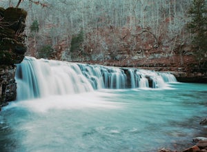
Huntsville, Arkansas
Looking for the best chillin in Huntsville? We've got you covered with the top trails, trips, hiking, backpacking, camping and more around Huntsville. The detailed guides, photos, and reviews are all submitted by the Outbound community.
Top Chillin Spots in and near Huntsville
-
Harrison, Arkansas
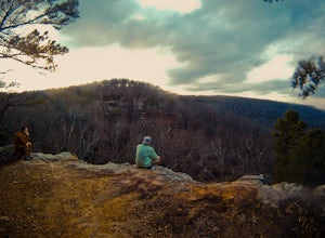
Hike to Hideout Hollow
4.02 miAfter parking at the trailhead, head down the well-trodden path and follow it the 0.85 miles downhill to the overlook. Once you are at the overlook, go left and follow the path as it loops around the top of the overhang. You’ll arrive at a small creek (which creates the waterfall that flows into ...Read more -
Harrison, Arkansas
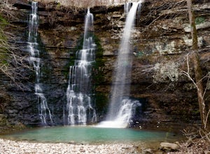
Twin Falls (aka Triple Falls)
5.00.27 mi / 72 ft gainProceed to the Camp Orr Campground down near the banks of the Buffalo River. Once you reach the bottom of the hill you will cross a low water bridge over a small creek. Park in the small parking lot on the right hand side once you cross the creek. Once you park simply walk through the gated are...Read more -
Winslow, Arkansas
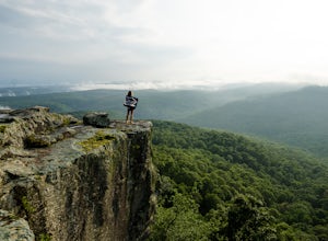
White Rock Rim Trail
5.02.08 mi / 335 ft gainThe trail around the Rim of White Rock Mountain is one of the best trails for vantage points. Nestled in the beautiful Boston Mountains in north central area of Arkansas. The White Rock Rim trail is an easy 2 mile loop trail that is moderately hiked year round. Start at the parking area and he...Read more -
Hagarville, Arkansas
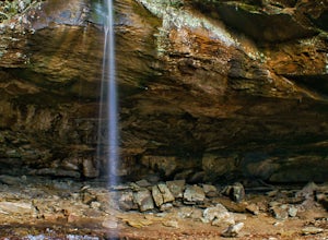
Pam's Grotto Trail
4.00.92 mi / 384 ft gainGetting to this trailhead is the most difficult part. The small parking area/campground is located about a half mile east of the Haw Creek Falls Campground. You will see a pull off on the east side of the road where you can park your car. Once you are ready to hit the trail you will cross the ro...Read more -
Bella Vista, Arkansas
Tanyard Creek Nature Trail
4.52 mi / 217 ft gainTanyard Creek Nature Trail is tucked away in the Bella Vista, Arkansas area. The trail may be a small loop of 2.2 miles, but offers everything you crave from any scenic hike. Also, the land is on private property, but open to the public. You'll start off in semi urban neighborhood with a large ...Read more -
Mount Judea, Arkansas
Hike Sam's Throne
5.00.5 miThis hike starts at the Sam's Throne Campground parking area. Once you walk to the end of the campground there is a fence with three different entrances that all lead to different trails. Take the middle trial for the shortest and easiest hike to the bluffs. This hike is very easy and only tak...Read more -
Witts Springs, Arkansas
Hike Pedestal Rocks Loop
4.52.2 mi / 200 ft gainShortly after the trailhead, you’ll come to a three-way intersection. Head straight on Pedestal Rocks Trail to make a counterclockwise loop. Follow through the woods until you reach the bluff line. Check out the ledges along the way and you’ll begin to see the pedestal rock formations. There ar...Read more -
Witts Springs, Arkansas
Hike to Punchbowl Falls
3.24 mi / -600 ft gainGo in the early Fall or late Spring! You start off on the Ozark Highland Trail. As you start walking along the trail you can see where people have slept the night before. Camping is acceptable out here, you do not have to pay, but the downside is that the closest town is about an hour away so if ...Read more -
Witts Springs, Arkansas
Richland Falls and Twin Falls of Richland Creek
4.04.8 mi / 472 ft gainThe hike to Richland Falls and Twin Falls of Richland creek begins at the Richland Creek Campground. From the entrance of the campground take the road to the right heading to the day use area. The trailhead is found at the end of the day use area. The trail immediately begins with a crossing of...Read more

