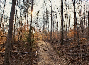
Harriet, Arkansas
Looking for the best hiking in Harriet? We've got you covered with the top trails, trips, hiking, backpacking, camping and more around Harriet. The detailed guides, photos, and reviews are all submitted by the Outbound community.
Top Hiking Spots in and near Harriet
-
Kingston, Arkansas
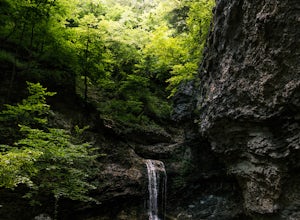
Eden Falls via Lost Valley Trail
4.92.32 mi / 453 ft gainThis is a beautiful trail that is easily accessible and only a short 3 mile hike. Start at the trailhead on the north end of the parking area. There is a map and some details about the main features of the trail. The first main feature that you come to on the trail is a beautiful bluff with a ...Read more -
Batesville, Arkansas
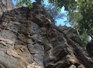
Climb at Jamestown Crag
5.0Jamestown Crag is just a few minutes south of Batesville and is one of the largest, most exposed areas of Atoka sandstone in Northeast Arkansas. There are 70+ well bolted sport routes ranging in difficulty from 5.5 to 5.13. The crag offers many top rope and lead routes, the tallest of which being...Read more -
Kingston, Arkansas
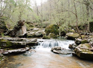
Hike Big Spring Trail
5.5 mi / 500 ft gainBig Spring Trail is located in Smith Creek Preserve just south of Boxley, Arkansas. There is a small parking area at the entrance. Detailed maps of the area provided by The Nature Conservancy can be found just past gate. Walk through the gate and begin your hike with a steady decline down the s...Read more -
Deer, Arkansas
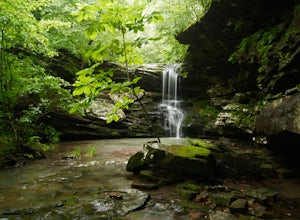
Hike to Magnolia Falls
5.02.5 miThis adventure starts at the parking area that is marked by a Wilderness Area sign. The trailhead is actually the old jeep trail that makes its way through the woods. Follow the jeep trail past a few old campsites and an camping registration box. The trail will cross over a small creek bed and...Read more -
Jefferson Township, Arkansas
Hike the Glory Hole Falls Trail
4.42 mi / 345 ft gainThis trail and waterfall is located 13.8 miles south of Boxley, AR or 5.7 miles east of Fallsville, AR. The easiest way to get to the trailhead is to locate the Cassville Baptist Church on your GPS system. If you are headed east, the church is 0.7 miles east of the trail. If you are headed west, ...Read more

