Calico Rock, Arkansas
Looking for the best hiking in Calico Rock? We've got you covered with the top trails, trips, hiking, backpacking, camping and more around Calico Rock. The detailed guides, photos, and reviews are all submitted by the Outbound community.
Top Hiking Spots in and near Calico Rock
-
Batesville, Arkansas
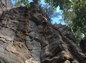
Climb at Jamestown Crag
5.0Jamestown Crag is just a few minutes south of Batesville and is one of the largest, most exposed areas of Atoka sandstone in Northeast Arkansas. There are 70+ well bolted sport routes ranging in difficulty from 5.5 to 5.13. The crag offers many top rope and lead routes, the tallest of which being...Read more -
Heber Springs, Arkansas
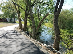
Sulphur Creek Trail
9.1 mi / 180 ft gainThe Sulphur Creek trail in Heber Springs is a multi-use trail that is approximately 9.1 miles point-to-point. The trail primarily follows the Right of Way of the old M&NA railroad lines through the community of Heber Springs.The majority of the trail is a 10-foot wide paved asphalt trail that...Read more -
Witts Springs, Arkansas
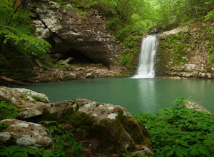
Hike to Punchbowl Falls
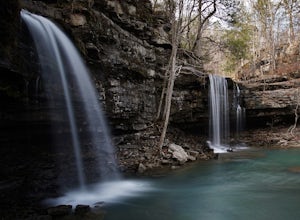
3.24 mi / -600 ft gainGo in the early Fall or late Spring! You start off on the Ozark Highland Trail. As you start walking along the trail you can see where people have slept the night before. Camping is acceptable out here, you do not have to pay, but the downside is that the closest town is about an hour away so if ...Read more -
Witts Springs, Arkansas
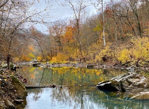
Richland Creek Campground Trail
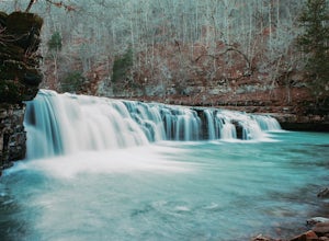
5.03.53 mi / 292 ft gainRichland Creek Campground Trail is an out-and-back trail that takes you by a waterfall located near Witts Springs, Arkansas.Read more -
Witts Springs, Arkansas
Richland Falls and Twin Falls of Richland Creek
4.04.8 mi / 472 ft gainThe hike to Richland Falls and Twin Falls of Richland creek begins at the Richland Creek Campground. From the entrance of the campground take the road to the right heading to the day use area. The trailhead is found at the end of the day use area. The trail immediately begins with a crossing of...Read more -
Witts Springs, Arkansas
Camp at Richland Creek Campground
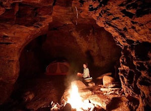
5.0This is one of my favorite places to camp in Arkansas. Once you get there you can hike to Twin Falls or Sandstone Castle, or explore the numerous cascades along Richland Creek. It's a relatively small campground with 11 campsites, but has a lot of places to hang hammocks and also offers a picnic ...Read more -
Witts Springs, Arkansas
Hike to Twin Falls in the Richland Creek Wilderness Area
4.05 mi / 200 ft gainThis hike begins at Richland Creek Campground. There's a trace trail that begins from the lowest walk-in campsites and continues along Richland Creek as you head back towards the waterfall. Parking and trailhead coordinates are 35.79839, -92.95774. It's not quite a bushwhack, but it's still a pre...Read more -
Witts Springs, Arkansas
Backpack to the Sandstone Castles
5.08 mi / 1000 ft gainFrom the Richland Creek campground, Twin Falls is an approximate 3 mile hike followed by another mile (give or take) to the "Castles". Directly above a small camping area on top of Twin Falls there begins a more primitive trail up the center on the ridge that will take you straight to the enormou...Read more

