Tolleson, Arizona
Top Spots in and near Tolleson
-
Phoenix, Arizona
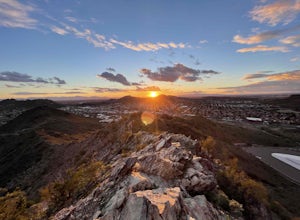
Shadow Mountain Loop
2.07 mi / 600 ft gainShadow Mountain Loop is a loop trail that takes you past scenic surroundings located near Phoenix, Arizona.Read more -
Glendale, Arizona
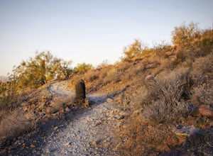
Run at Thunderbird Park
5.02 mi / 475 ft gainThis is a great spot to go for a quick run or a short hike if you're in North Phoenix. Thunderbird park is easily accessible with free entry and a number of picnic areas.There are 3 main hills with a variety of trail options to hike up/around each. From the top you'll find a nice view of valley...Read more -
Phoenix, Arizona
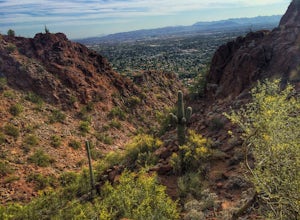
Echo Canyon Trail on Camelback Mountain
4.52.46 mi / 1214 ft gainIf you live near or around Phoenix, you know that Camelback Mountain is pretty hard to miss. Due to the mountain's height, this hike isn't exactly what you would call easy. There are two sides of the mountain you can hike, Echo Canyon and Cholla Trail. Echo Canyon is shorter, but still an extreme...Read more -
Phoenix, Arizona
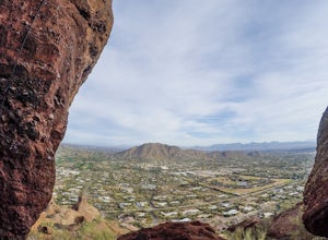
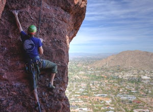
Climb the Praying Monk
4.30.5 miPark at the Echo Canyon Parking Area.From the trailhead, hike up Echo trail until your reach the saddle. At the saddle, you will turn south and start taking the climbers trail to the headwall, which is just past the sign that says "caution, active bee area." Once you reach the headwall, there a...Read more -
Phoenix, Arizona
Climb the East Face of the Praying Monk
0.5 mi / 200 ft gain5.6 Sport climb, up an 80 foot face, 9 bolts to the top. This was the first outdoor climb for myself. It opened the doors to getting out of the gym and becoming a part of the local climbing community. I highly recommend it, as it is not too difficult, and can be done with a group of people. The...Read more -
Waddell, Arizona
Hike to Waterfall Canyon
4.02 mi / 200 ft gainSo to fully enjoy the theme of this hike, make sure to try and go right after a rain. But also know that since this is a pretty easy hike, you will won't be the only one there. This is also a great hike/ waterfall to do with someone that is new to desert hiking, since it is relatively easy and th...Read more -
Buckeye, Arizona
Hike Valley Vista from Turnbuckle Trail
5.02 miThe Valley Vista trail is a short hike in Skyline Regional Park, located in the southern region of the White Tank Mountains west of Phoenix. From the top you'll have a great view of the Estrella Mountain Range and the southwest valley. For the most direct route, take the Turnbuckle trail. This...Read more -
Waddell, Arizona
Hike Mesquite Canyon Trail
13 mi / 1394 ft gainThis is a great place to begin your hike in the White Tank Mountains. From the Ramada Way area, the trail begins to lead steadily into a small canyon. As you get further up, the trail will begin get more steep. After a short time it leads up to the first saddle and wraps around a ridge and bec...Read more -
Phoenix, Arizona
Hike the West Park Loop Trail in Papago Park
4.44 miThis trail begins from the parking lot on the west side of Galvin Parkway. To the east of the parking lot is a single track, dirt trail that heads north towards the big buttes. It continues counterclockwise around the big butte and heads south around the smaller butte. It continues west around th...Read more -
Phoenix, Arizona
Hole in the Rock
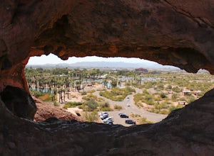
3.60.27 mi / 200 ft gainPapago Park is located right next to the Phoenix Zoo. The park is known for its rock formations and short hiking / running trails. The main attraction, the Hole in the Rock, at the top of the short trail, is a great place to take pictures as it is one of the highest points in the area and it off...Read more -
Tempe, Arizona
Catch a Sunset from Tempe Town Lake and the Mill Avenue Bridge
4.5Last year I went to Phoenix for a few days for work. I googled lots of places to shoot pictures around Phoenix, but the majority of them were in neighboring areas, and I only had an hour or two after work and couldn't drive an hour to a better photography spot. One place that kept coming up was...Read more -
Paradise Valley, Arizona
Camelback Mountain via Cholla Trail
4.52.68 mi / 1158 ft gainThis challenging hike up the east side of Camelback Mountain has beautiful views of Phoenix and Scottsdale, and is not often crowded. You will begin on switchbacks heading up the mountain, with trail markers to guide you at first. The hike increases in difficulty about 1 mile in, when you reach ...Read more -
Glendale, Arizona
Deem Hills Loop
3.55 miLocated in north Phoenix, the Deem Hills recreation area features a dog park, playground, soccer field, and trailhead leading into the neighboring hills. To begin your hike, get around the dog park by starting at the Circumference trailhead on the north side of the parking lot. To complete th...Read more -
Phoenix, Arizona
Apache Wash Loop Trail
5.79 mi / 541 ft gainThis hike begins at the Apache Wash Trailhead where you will find restrooms and a covered rest area. This loop is simple to follow and offers various shortcuts along with an access to an optional summit climb. The loop begins from the north-east end of the parking lot near the restrooms. Turn l...Read more -
Scottsdale, Arizona
Hike Bell's Pass
7.3 mi / 1700 ft gainStarting at 1800 ft elevation, the trail begins at Gateway Loop. This part of the trail will start off pretty flat and be more crowded than Bell's Pass depending on the day and time you are hiking. If you enjoy running this would be the time to do it before you reach Bell's Pass and the incline i...Read more -
Scottsdale, Arizona
Gateway Loop
4.54.32 mi / 764 ft gainThe Gateway Trailhead is one access point into the McDowell Sonoran Conservancy in Scottsdale and is my favorite “Gateway” into the treasure trove of great trails and vistas in the McDowell Mountains. The Gateway Trailhead provides great accessibility for a quick hike or trail run at the end of t...Read more

