Superior, Arizona
Top Spots in and near Superior
-
Picacho, Arizona
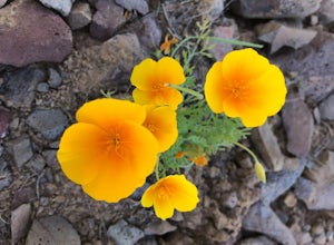
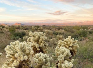
Photograph the Wildflowers at Picacho Peak State Park
4.0If Arizona is lucky enough to have a rainy winter, we will most certainly have a beautiful bloom come spring. One of the best places to see the beautiful golden blooms is on a hike in Picacho Peak State Park. Blooming season typically begins in mid/late February. Length depends on temperature –...Read more -
Picacho, Arizona
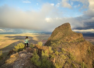
Hike Picacho Peak's Hunter Trail
5.04 mi / 1400 ft gainIf you've ever done the drive on highway10 from Phoenix to Tucson, you've definitely noticed an intriguing looking mountain peak about an hour into the drive. It broadly rises from the earth and tapers off into a point at the top, appearing like an illustration straight out of a Dr. Seuss book. ...Read more -
Whiteriver, Arizona
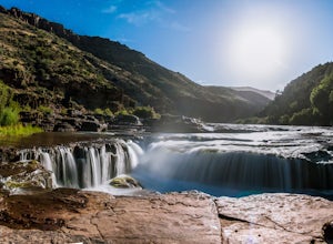
Apache Falls
4.00.82 mi / 16 ft gainApache Falls in the Salt River Canyon is an impressive fall because of the size and the amount of water flowing over them (especially after snowmelt) and is one of the few waterfalls in AZ that is in a river not a creek. The falls are very easy to get to, only ¾ mile off the HW. To reach the fall...Read more -
Gila County, Arizona
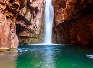
Cibecue Falls
4.32.94 mi / 600 ft gainThe Hike It’s a bumpy ride down an old dirt road to get to the trailhead to hike Cibecue Falls. Use extreme caution on this road as there are very narrow sections with sheer cliffs. The road follows along the Salt River giving you a nice viewpoint of the Salt River Canyon. On your way in, yo...Read more -
Scottsdale, Arizona
Marcus Landslide Trail
5.03.77 mi / 561 ft gainNamed after a landslide that scientists say occurred over 500,000 years ago, this interpretive hiking trail in the McDowell Sonoran Preserve is a perfect easy outing for families and nature lovers alike. It begins from the Tom's Thumb trailhead (shared parking lot), which is another beautiful hi...Read more -
Scottsdale, Arizona
Tom's Thumb
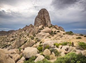
4.33.98 mi / 1236 ft gainThe infamous “thumb” can be seen from most places in the valley – a white burst of rock jutting skyward out of the desert ridgeline. The new Tom’s Thumb Trailhead in 2012 has nice restrooms and offers tons of information about the surrounding rock climbing areas, day hikes and desert knowledg...Read more -
Scottsdale, Arizona
Boulder the Unknown Handcrack near Tom's Thumb
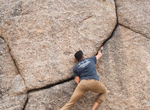
V-easy. 20 feet. Start on the Tom's Thumb Trail about .1 mi. Then take the Mesquite canyon trail left (SE) for .2mi. It will connect with the Feldspar trail. Turn left (E) and continue on until you see the climber access sign. Continue on the well marked trail towards the Girlie Man climbing area...Read more -
Scottsdale, Arizona
Climb Brusin' and Crusin' on Gardner's Wall
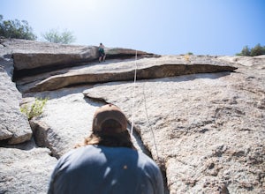
This is a 100 foot 5.8 trad climb. Access the Hanging Garden's climbing area off of the Tom's Thumb Trail. About half way up the trail you will see signage for "Rock Climbing Access Route." On the sign you will see an arrow pointing towards Gardner's Wall. This is the direction you want to take. ...Read more -
Scottsdale, Arizona
Climb Girlie Man Near Tom's Thumb
5.9+ 3 bolt slab. About 65ft. To get there you will start on the Tom's Thumb Trail for about .1 mi. Then take the Mesquite canyon trail left (SE) for .2mi. It will connect with the Feldspar trail. Turn left (E) and continue on until you see the climber access sign. Continue on the well marked tra...Read more -
Scottsdale, Arizona
Climb Hanging Garden's on Gardner's Wall
This is a 2 pitch 5.6 trad climb. About 130 feet in total. Access the Hanging Garden's climbing area off of the Tom's Thumb Trail. About half way up the trail you will see signage for "Rock Climbing Access Route." On the sign you will see an arrow pointing towards Gardner's Wall. This is the dire...Read more -
Scottsdale, Arizona
Climb Sphincter Boy Near Tom's Thumb
5.9 trad route. About 60ft. Can be set up as a Top Rope. To get there you will start on the Tom's Thumb Trail for about .1 mi. Then take the Mesquite canyon trail left (SE) for .2mi. It will connect with the Feldspar trail. Turn left (E) and continue on until you see the climber access sign. Cont...Read more -
Tempe, Arizona
Catch a Sunset from Tempe Town Lake and the Mill Avenue Bridge
4.5Last year I went to Phoenix for a few days for work. I googled lots of places to shoot pictures around Phoenix, but the majority of them were in neighboring areas, and I only had an hour or two after work and couldn't drive an hour to a better photography spot. One place that kept coming up was...Read more

