Roosevelt, Arizona
Looking for the best chillin in Roosevelt? We've got you covered with the top trails, trips, hiking, backpacking, camping and more around Roosevelt. The detailed guides, photos, and reviews are all submitted by the Outbound community.
Top Chillin Spots in and near Roosevelt
-
Fort McDowell, Arizona
Hike the Lower Salt River Nature Trail
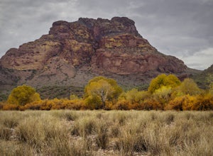
2.52.4 miThis scenic loop offers views of Four Peaks, the Salt River & Verde River, and a desert landscape with plenty of wildlife. Keep an eye out for eagles, wild horses, and other wildlife while you're on the trail. This trail starts from the Phon D Sutton Recreation site, which is located at the...Read more -
Scottsdale, Arizona
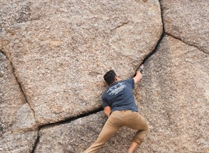
Boulder the Unknown Handcrack near Tom's Thumb
V-easy. 20 feet. Start on the Tom's Thumb Trail about .1 mi. Then take the Mesquite canyon trail left (SE) for .2mi. It will connect with the Feldspar trail. Turn left (E) and continue on until you see the climber access sign. Continue on the well marked trail towards the Girlie Man climbing area...Read more -
Scottsdale, Arizona
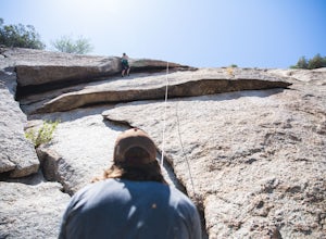
Climb Brusin' and Crusin' on Gardner's Wall
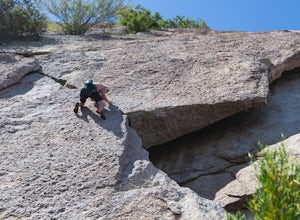
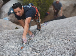
This is a 100 foot 5.8 trad climb. Access the Hanging Garden's climbing area off of the Tom's Thumb Trail. About half way up the trail you will see signage for "Rock Climbing Access Route." On the sign you will see an arrow pointing towards Gardner's Wall. This is the direction you want to take. ...Read more -
Scottsdale, Arizona
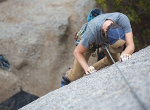
Climb Girlie Man Near Tom's Thumb
5.9+ 3 bolt slab. About 65ft. To get there you will start on the Tom's Thumb Trail for about .1 mi. Then take the Mesquite canyon trail left (SE) for .2mi. It will connect with the Feldspar trail. Turn left (E) and continue on until you see the climber access sign. Continue on the well marked tra...Read more -
Scottsdale, Arizona
Climb Hanging Garden's on Gardner's Wall
This is a 2 pitch 5.6 trad climb. About 130 feet in total. Access the Hanging Garden's climbing area off of the Tom's Thumb Trail. About half way up the trail you will see signage for "Rock Climbing Access Route." On the sign you will see an arrow pointing towards Gardner's Wall. This is the dire...Read more -
Scottsdale, Arizona
Climb Sphincter Boy Near Tom's Thumb
5.9 trad route. About 60ft. Can be set up as a Top Rope. To get there you will start on the Tom's Thumb Trail for about .1 mi. Then take the Mesquite canyon trail left (SE) for .2mi. It will connect with the Feldspar trail. Turn left (E) and continue on until you see the climber access sign. Cont...Read more -
Coconino County, Arizona
Hike Woods Canyon Lake Loop Trail
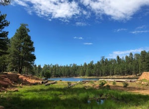
5.03.7 mi / 154 ft gainThis hike is a ~4 mile heavily trafficked loop trail that circles Woods Canyon Lake, on the beautiful Mogollon Rim. Peaceful and easy, this trail is suitable for all skill levels, and is great for families looking to spend a bit of time in nature. The trail follows the shoreline closely, and fo...Read more -
Coconino County, Arizona
Fish Woods Canyon Lake
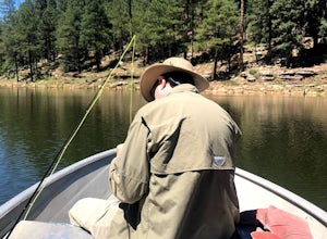
You can rent a charming metal fishing boat at the Woods Canyon Lake Marina, or bring your own (if you’re bringing your own boat, make sure you bring a PFD too, as it’s Arizona law). Note that gas motors are NOT permitted on boats (only trolling motors). This makes it an incredibly quiet experie...Read more -
Woods Canyon Lake, Arizona
Kayak Woods Canyon Lake
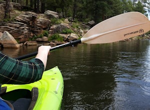
5.0Is there any better way to spend a Saturday, then paddling on a glassy, peaceful lake? You can rent kayaks at the Woods Canyon Lake Marina, or bring your own (if you’re bringing your own kayak, make sure you bring a PFD too, as it’s Arizona law). One of the best parts of this lake is that w...Read more -
Payson, Arizona
Dispersed Camping on Mogollon Rim (FR 9350)
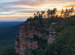
4.7Dispersed camping with a view! With no site fees and no reservations, this camping spot is incredibly popular. Note that several campsites are bordered by a 200' vertical drop. This area is not recommended for families with young children or people who are uneasy with heights. All campsites ha...Read more -
Payson, Arizona
Horton Springs Loop
4.48.42 mi / 1896 ft gainThis is a more scenic and bit more strenuous loop hike to the spring, taking in the Derrick Trail, part of the Highline Trail, and the Horton Creek Trail.After parking the cars near Upper Tonto Creek Campground follow the Derrick Trail and hike gently uphill for 1.4 miles through the rim country ...Read more

