Maricopa County, Arizona
Looking for the best photography in Maricopa County? We've got you covered with the top trails, trips, hiking, backpacking, camping and more around Maricopa County. The detailed guides, photos, and reviews are all submitted by the Outbound community.
Top Photography Spots in and near Maricopa County
-
Apache Junction, Arizona
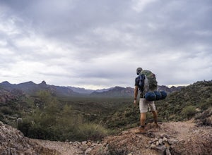
Hike Black Mesa Loop
4.59 miFrom First Water Trailhead, a short walk east brings you to the junction of the Dutchman trail and the Second Water trail. If you follow the Dutchman trail to the right you'll be heading southeast for a while, catching glimpses of Weaver's Needle in the distance. You can complete the loop going...Read more -
Fort McDowell, Arizona
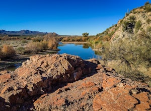
Hike the Lower Salt River Nature Trail
2.52.4 miThis scenic loop offers views of Four Peaks, the Salt River & Verde River, and a desert landscape with plenty of wildlife. Keep an eye out for eagles, wild horses, and other wildlife while you're on the trail. This trail starts from the Phon D Sutton Recreation site, which is located at the...Read more -
Gold Canyon, Arizona
Fremont Saddle via Peralta Canyon Trail
4.74.53 mi / 1378 ft gainAfter taking Peralta Road all the way to the end, park your car in the parking lot and you'll see the sign for the trail head. Sign in at the register and then begin our hike on Peralta Trail. This trail winds through the canyon and then takes you up switch backs until you reach the saddle. The ...Read more -
Gold Canyon, Arizona
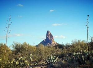
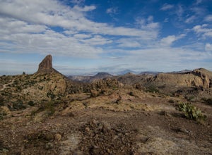
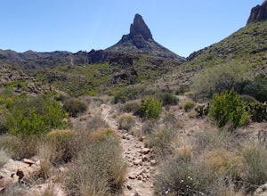
Weavers Needle Loop
5.012.37 mi / 2608 ft gainThis is a difficult hike! Plan on a lot of time and an early start. I did this hike in a clockwise direction (Peralta Trail) which really doesn't matter much but I recommend the direction to get the steepest part of the hike done first. Most people just do an out and back hike to Freemont Saddle ...Read more -
Gold Canyon, Arizona
Bluff Springs Loop
4.014.55 mi / 2523 ft gainFrom the Peralta Trailhead, start hiking on Bluff Springs Trail. This trail will wind over a few hills past incredible views, and then take you down into a wash. In the wash you will intersect with the Terrapin Trail. Turn left onto the Terrapin Trail, and it will take you out of the wash and pa...Read more -
Mesa, Arizona
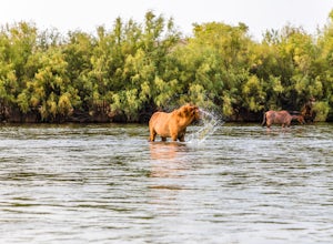
Photograph the Salt River Wild Horses at Coon Bluff
5.0Wild horses have roamed the banks of the lower Salt River since long before the Tonto National Forest was created in 1902. It is thought that these wild horses have descended from a herd brought to the area by a Spanish missionary in the 1600's. In 2015 the United States Forest Service had pu...Read more -
Maricopa County, Arizona
Hike the Goldfield Ovens Loop
7.5 mi / 575 ft gainA Tonto Day Pass is required for this hike as you will park your vehicle at the Blue Point Picnic Area. The trail starts North of the restrooms which are located at the backside of the parking lot. The trail takes you through a mesquite filled area alongside large rock faces. Be sure too look for...Read more -
Mesa, Arizona
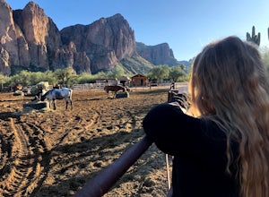
Horseback Ride in the Sonoran Desert
5.0This picturesque location is truly unique; featuring Saguaro Lake, the spectacular Bulldog Cliffs and the Salt River winds through the Ranch property, and you’re able to experience it all on horseback. What I loved most is that the horses were well cared for, the handlers obviously adored the ani...Read more -
Fort McDowell, Arizona
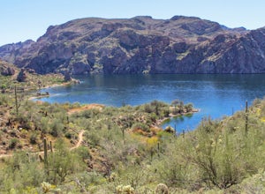
Hike Butcher Jones Trail Around Saguaro Lake
4.64 mi / 300 ft gainButcher Jones Recreational Area truly has a little bit of everything. However, the highlight of the area is the Butcher Jones Trail, a 4 mile out and back trail that is suitable for all skill levels. With minimal elevation gain and beautiful views, it can't be beat!The trailhead is located right ...Read more -
Apache Junction, Arizona
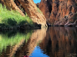
Kayak Canyon Lake Reservoir
4.5Canyon Lake is located in a National Recreation Area. It was created by the damming of the Salt River, in Arizona, specifically by the Morman Flat Dam. The lake sits at an elevation of 1,660' and has a mean depth of 130', and an area of 1.484 mi². We launched our kayaks from the boat launch area ...Read more -
Tempe, Arizona
Catch a Sunset from Tempe Town Lake and the Mill Avenue Bridge
4.5Last year I went to Phoenix for a few days for work. I googled lots of places to shoot pictures around Phoenix, but the majority of them were in neighboring areas, and I only had an hour or two after work and couldn't drive an hour to a better photography spot. One place that kept coming up was...Read more -
Coolidge, Arizona
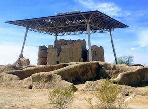
Explore Casa Grande Ruins National Monument
4.00.25 mi / 10 ft gainNo one really knows why the people from the Sonoran Desert built this mud skyscraper. Some scientists believe it was built as a astronomical observatory. What ever the reason, the Casa Grande Ruins National Monument is a engineering marvel that was built in the 1300's. People have been so puzzled...Read more -
Phoenix, Arizona
Hike Marcos de Niza Ridgeline / National Loop
5.02.8 mi / 640 ft gainThis is somewhat of a hidden gem in South Mountain Park, the largest municipal park in the United States, even though it's right there for all to see. The best way to take advantage of this trail is to attack the ridgeline with an intense hiking pace or trail run, connecting it to the National Tr...Read more -
Phoenix, Arizona
Hole in the Rock
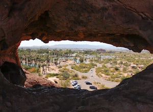
3.60.27 mi / 200 ft gainPapago Park is located right next to the Phoenix Zoo. The park is known for its rock formations and short hiking / running trails. The main attraction, the Hole in the Rock, at the top of the short trail, is a great place to take pictures as it is one of the highest points in the area and it off...Read more -
Phoenix, Arizona
Hike the West Park Loop Trail in Papago Park
4.44 miThis trail begins from the parking lot on the west side of Galvin Parkway. To the east of the parking lot is a single track, dirt trail that heads north towards the big buttes. It continues counterclockwise around the big butte and heads south around the smaller butte. It continues west around th...Read more -
Scottsdale, Arizona
Sunrise Trail to Sunrise Peak
4.83.73 mi / 1037 ft gainSunrise Peak, also known as Sunrise Trail, is located at the residential foothills of the McDowell Mountains in Scottsdale, Arizona. The trail will start next to a residential neighborhood, but after about a quarter mile you'll be immersed in the pristine Sonoran Desert. The trail will lead you t...Read more

