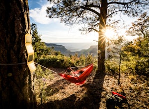
Marble Canyon, Arizona
Looking for the best photography in Marble Canyon? We've got you covered with the top trails, trips, hiking, backpacking, camping and more around Marble Canyon. The detailed guides, photos, and reviews are all submitted by the Outbound community.
Top Photography Spots in and near Marble Canyon
-
Kane County, Utah
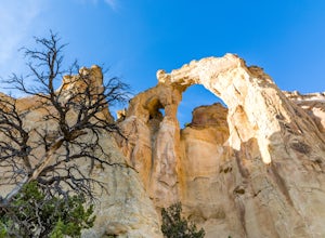
Hike to Grosvenor Arch
5.01.16 mi / 285 ft gainGrosvenor Arch is a sandstone double arch located in Grand Staircase-Escalante National Monument. The arch is named after Gilbert Hovey Grosvenor, a president of the National Geographic Society. To reach the arch, park in the trailhead parking lot off Last Chance Creek Road. The arches are vis...Read more -
Kanab, Utah
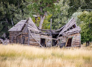
Visit the Gunsmoke Movie Set
4.0The television series of Gunsmoke was an American classic. 635 episodes aired on prime time television over the course of twenty years, from 1955 to 1975. The movie set was the largest set constructed in the Kanab area. After the filming ended, the buildings were not maintained and became heav...Read more -
North Rim, Arizona
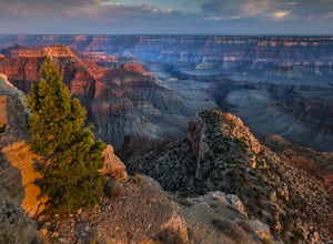
Point Sublime
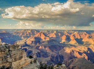
5.034.27 mi / 3878 ft gainIts name says it all; this panoramic viewpoint at the north rim of the Grand Canyon is sublime: of such excellence, grandeur, or beauty as to inspire great admiration or awe. For newcomers to the Grand Canyon, this view might just leave you speechless! A relatively few people get to experience P...Read more -
Kane County, Utah
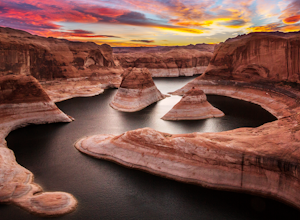
Reflection Canyon
5.015.24 mi / 1368 ft gainBackpacking Reflection Canyon is not for the faint of heart. It's an intense, challenging hike that takes you through slot canyons, climbing up and down shifty sandstones and traversing rugged terrains and ravines. Although the elevation gain is almost nothing, the up and down climbs from one rav...Read more -
North Rim, Arizona
Grand Canyon: Rim-to-Rim-to-Rim
4.745.6 mi / 10141 ft gainDay 1 Start at the North Rim of Grand Canyon National Park at the North Kaibab Trail. You have 14 miles and 5,761 feet of elevation to descend to the Bright Angel Campground, so bring those trekking poles if you have bad knees (like myself). Along the North Kaibab Trail a few noteworthy trail m...Read more -
North Rim, Arizona
Ribbon Falls via North Kaibab Trailhead
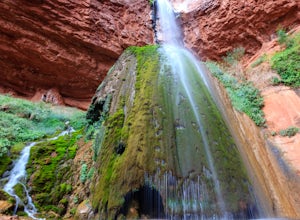
5.017.57 mi / 4521 ft gainAlthough this hike can feasibly done in a day, it is highly recommended that you spend more than one day in this area and visit the falls as a side trip on a larger trip. The closest campsites to Ribbon Falls are Cottonwood Campground and the Bright Angel Campground at Phantom Ranch. Ribbon Fal...Read more -
Kane County, Utah
Hike to Broken Bow Arch
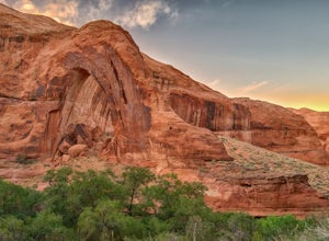
4.76.28 mi / 732 ft gainThe trailhead starts at the Willow Gulch Trailhead, located just off of Hole in the Rock Road in the Grand Staircase -Escalante National Monument. The coordinates for the trailhead are 37.324812,-111.023019. To get there head east on highway 12 out of Escalante, Utah until you get to Hole in the ...Read more -
North Rim, Arizona
Bright Angel Point
4.30.86 mi / 361 ft gainThe trailhead begins at the North Rim Lodge/Visitor Center that rests of the edge of the Grand Canyon and heads east until you reach Bright Angel Point a half mile later. It's connected to the large outdoor patio where visitors are allowed to relax and enjoy a beer in the evening or cup of coffe...Read more -
North Rim, Arizona
Timp Point
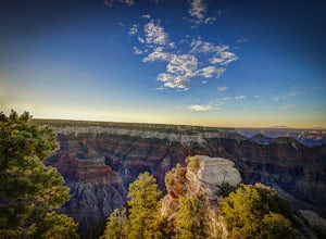
Timp Point on the North Rim of the Grand Canyon lies just on the boundary of the National Park and within the Kaibab National Forest, well away from the (already smaller) crowds of the North Rim. Even in the heart of summer often you'll have a campsite on the rim all to yourself, with easy access...Read more

