Gold Canyon, Arizona
Top Spots in and near Gold Canyon
-
Fort McDowell, Arizona
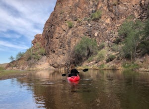
Kayak Saguaro Lake
4.0If you want to enjoy some paddle time on the beautiful Saguaro Lake, launching from Butcher Jones Recreation Area is your best bet. If you don’t have your own kayak, you can rent from the nearby Saguaro Lake Guest Ranch and they’ll bring the kayaks to the launch point for you (as well as provide...Read more -
Queen Creek, Arizona
Hike the Dynamite and Goldmine Loop
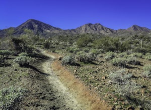
5.04.7 mi / 773 ft gainThis trail is a moderately-rated hike. It is used for a variety of activities including hiking, mountain biking, running, and walking. To access the trail, it is important to note that there is a $7 cash parking fee, so be prepared! The beginning of the trail is the most challenging part as it ...Read more -
Mesa, Arizona
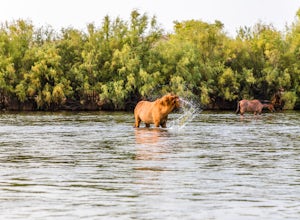
Photograph the Salt River Wild Horses at Coon Bluff
5.0Wild horses have roamed the banks of the lower Salt River since long before the Tonto National Forest was created in 1902. It is thought that these wild horses have descended from a herd brought to the area by a Spanish missionary in the 1600's. In 2015 the United States Forest Service had pu...Read more -
Fort McDowell, Arizona
Hike the Lower Salt River Nature Trail
2.52.4 miThis scenic loop offers views of Four Peaks, the Salt River & Verde River, and a desert landscape with plenty of wildlife. Keep an eye out for eagles, wild horses, and other wildlife while you're on the trail. This trail starts from the Phon D Sutton Recreation site, which is located at the...Read more -
Rogers Trough Trailhead, Arizona
Hike Rogers Canyon Trail
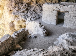
5.08 mi / 1108 ft gainThe Superstition Wilderness is a vast rugged landscape where you can find the cultural remains of ancient Hohokam, Salado, Apache, and Yavapais tribes. Rogers Canyon Trail takes you to one of the most impressive and best preserved archaeological sites this region has to offer. These Salado ruin...Read more -
Superior, Arizona
Hike Picketpost Mountain
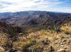
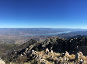
4.74.4 mi / 2200 ft gainFrom the parking lot you will start out on the Arizona Trail until you reach the turn off to begin your accent up the mountain. This part of the trail isn't well maintained, and is a scramble, so be ready to use those hands. The trail is marked with cairns though and there is enough traffic tha...Read more -
Scottsdale, Arizona
Sunrise Trail to Sunrise Peak
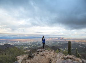
4.83.73 mi / 1037 ft gainSunrise Peak, also known as Sunrise Trail, is located at the residential foothills of the McDowell Mountains in Scottsdale, Arizona. The trail will start next to a residential neighborhood, but after about a quarter mile you'll be immersed in the pristine Sonoran Desert. The trail will lead you t...Read more -
Roosevelt, Arizona
Camp At Burnt Corral Campground On Apache Lake
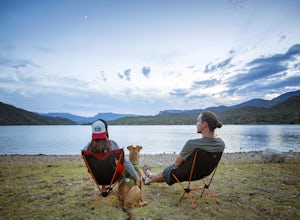
5.0Located in the Superstition Wilderness about 65 miles northeast of Phoenix, AZ, Apache Lake is one of the most popular recreational lakes in Arizona because it has something for everyone: hiking, boating, fishing, water skiing, camping, swimming, and more! The Burnt Corral Campground is located o...Read more -
Coolidge, Arizona
Explore Casa Grande Ruins National Monument
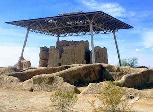
4.00.25 mi / 10 ft gainNo one really knows why the people from the Sonoran Desert built this mud skyscraper. Some scientists believe it was built as a astronomical observatory. What ever the reason, the Casa Grande Ruins National Monument is a engineering marvel that was built in the 1300's. People have been so puzzled...Read more -
Tonto Basin, Arizona
Hike to Brown's Peak
5.06 mi / 1957 ft gainStarting at the trailhead you will begin hiking through oak trees and forest. At numerous times throughout the hike Roosevelt Lake can be seen to the northwest. Approximately 3 miles into your hike you will reach a small campsite in the saddle of the mountain. This is your turnaround point if you...Read more -
Fountain Hills, Arizona
Hike the Dixie Mine Trail
2.05.5 mi / 591 ft gainThe MineDixie mine was established in 1877, when mining scouts noticed the large amount of quartz in the area. The Dixie Mine was sold many times throughout the 20th Century and was ruled no longer efficient in 1977 when it was sold to the McDowell Mountain Regional Park. The PetroglyphsThe area ...Read more -
Tempe, Arizona
Catch a Sunset from Tempe Town Lake and the Mill Avenue Bridge
4.5Last year I went to Phoenix for a few days for work. I googled lots of places to shoot pictures around Phoenix, but the majority of them were in neighboring areas, and I only had an hour or two after work and couldn't drive an hour to a better photography spot. One place that kept coming up was...Read more -
Scottsdale, Arizona
Bike the Pemberton Loop in McDowell Mountain Park
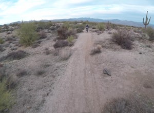
15.4 miThis is a 15.4 mile loop that has 879 feet of elevation gain and descent. We took this trail clockwise. The trail is very well marked and maintained. It starts out flat from the parking lot. Once you have made it across the road it begins to climb. You continue with a gradual climb until you've g...Read more -
Phoenix, Arizona
Hole in the Rock
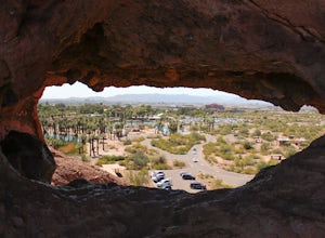
3.60.27 mi / 200 ft gainPapago Park is located right next to the Phoenix Zoo. The park is known for its rock formations and short hiking / running trails. The main attraction, the Hole in the Rock, at the top of the short trail, is a great place to take pictures as it is one of the highest points in the area and it off...Read more -
Phoenix, Arizona
Hike the West Park Loop Trail in Papago Park
4.44 miThis trail begins from the parking lot on the west side of Galvin Parkway. To the east of the parking lot is a single track, dirt trail that heads north towards the big buttes. It continues counterclockwise around the big butte and heads south around the smaller butte. It continues west around th...Read more -
Roosevelt, Arizona
Visit Tonto National Monument
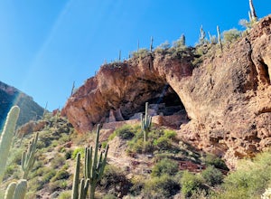
3.71.5 mi / 305 ft gainExplore two remarkably preserved American Indian cliff dwellings that date back to the 13th century. Set within a shelter bluff on the side of steep cliffs, the Upper and Lower Cliff Dwellings are well protected, and have great views of the surrounding Sonoran Desert. If you get to the park early...Read more

