Fort McDowell, Arizona
Looking for the best photography in Fort McDowell? We've got you covered with the top trails, trips, hiking, backpacking, camping and more around Fort McDowell. The detailed guides, photos, and reviews are all submitted by the Outbound community.
Top Photography Spots in and near Fort McDowell
-
Goodyear, Arizona
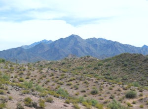
Hike Estrella Mountain's Baseline Trail
4.02.4 mi / 259 ft gainBaseline Trail is a 2.4 mile moderately trafficked loop trail. This trail features lovely wild flowers and is rated as intermediate. You can use this trail not just for hiking but you can also use the trail for running as well as mountain biking. On the trail you are allowed to bring your furry f...Read more -
Coolidge, Arizona
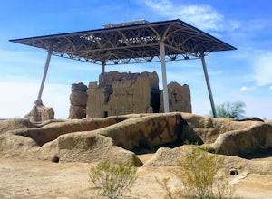
Explore Casa Grande Ruins National Monument
4.00.25 mi / 10 ft gainNo one really knows why the people from the Sonoran Desert built this mud skyscraper. Some scientists believe it was built as a astronomical observatory. What ever the reason, the Casa Grande Ruins National Monument is a engineering marvel that was built in the 1300's. People have been so puzzled...Read more -
Morristown, Arizona
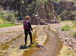
Hiking in Hells Canyon Wilderness
Spanning 9,951 acres of backcountry a few miles northwest of Lake Pleasant and about 25 miles north of Phoenix, Hells Canyon Wilderness area offers a quick way to escape into an untamed swath of desert that’s more paradise than purgatory.I have to say, this entire trail is 36.3 miles (and is tec...Read more -
Black Canyon City, Arizona
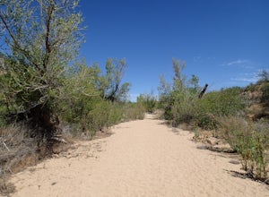
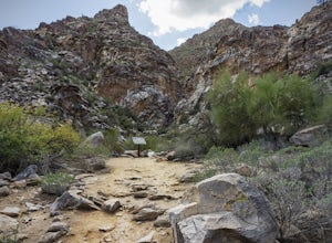
Hike the Badger Spring Wash Trail
3.54 miBadger Spring Wash is a dry stream bed most of the year. This trail starts from the Badger Spring Trailhead just off Route 17 north from Phoenix. The trail follows the stream bed, sometimes in or along side for 1.5 miles. At about one mile, you reach the spring and a good amount of water which is...Read more -
Waddell, Arizona
Hike to Waterfall Canyon
4.02 mi / 200 ft gainSo to fully enjoy the theme of this hike, make sure to try and go right after a rain. But also know that since this is a pretty easy hike, you will won't be the only one there. This is also a great hike/ waterfall to do with someone that is new to desert hiking, since it is relatively easy and th...Read more -
Pine, Arizona
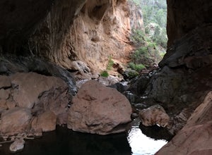
Hike the Pine Creek Loop in Tonto Natural Bridge SP
4.71.8 mi / 300 ft gainThere is a fee to enter this area. It was $7 when we went. There are 4 trails with many viewpoints from the parking lot, all of which are out and back. We followed the recommendation of the ranger working at the visitor's center and took the Gowan Trail down to the observation deck located in the...Read more -
Yavapai County, Arizona
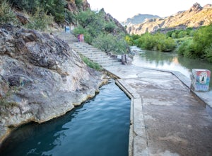
Verde Hot Springs
3.32.46 mi / 118 ft gainThe pools at the Verde Hot springs are the remnants from an old resort built in the 1920's. The resort was a once thriving tourist attraction and also rumored to be one of Al Capone's hideouts. In the 1960's a fire destroyed the resort only leaving behind the foundation and the thermal pools al...Read more

