Cave Creek, Arizona
Looking for the best photography in Cave Creek? We've got you covered with the top trails, trips, hiking, backpacking, camping and more around Cave Creek. The detailed guides, photos, and reviews are all submitted by the Outbound community.
Top Photography Spots in and near Cave Creek
-
Apache Junction, Arizona
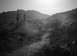
Treasure Loop Trail
4.82.34 mi / 571 ft gainLocated about 40 miles east of Phoenix right off AZ-88 E/N Apache Trail. The initial trail begins at an elevation of 2000 feet within the Sonoran Desert. The trail can be accessed via the Cholla (northern side) Day-use Area or the Saguaro (southern) Day-use Area. Once you're on the trail you wil...Read more -
Apache Junction, Arizona
Photograph Cactus Blooms at Lost Dutchman
4.5And there is no better place to experience this beautiful display than at Lost Dutchman State Park. The State Park website shares that visitors can find "chuparosas, poppies, fiddle necks, globe mallow, chuparosa, brittle bush, desert evening primrose, lupine, ocotillo, chicory, scorpion weed, sk...Read more -
Apache Junction, Arizona
Hike to Praying Hands in Lost Dutchman State Park
4.04.3 mi / 954 ft gainBegin your hike in the Cholla parking lot, and start Treasure Loop Trail (this is the north side of the loop, heading east). Once you get to the base of the main cliffs, and the trail starts to veer to the right, this is where you branch off. Instead of veering right, go straight and off to the...Read more -
Apache Junction, Arizona
Hike the Dutchman's Second Canyon Loop
5.016 miTo get to the trail head, drive past Lost Dutchman State Park on the 88 and then take the dirt road (on your right) with arrows leading you to First Water Trail Head. There is an outhouse at the trailhead, so I suggest visiting it before you begin this hike. I also started this hike about an ho...Read more -
Apache Junction, Arizona
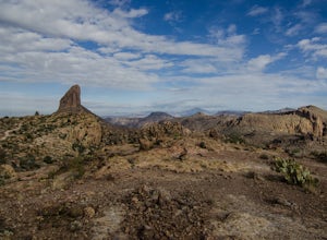
Hike Black Mesa Loop
4.59 miFrom First Water Trailhead, a short walk east brings you to the junction of the Dutchman trail and the Second Water trail. If you follow the Dutchman trail to the right you'll be heading southeast for a while, catching glimpses of Weaver's Needle in the distance. You can complete the loop going...Read more -
Apache Junction, Arizona
White Rock Springs Camp Loop via First Water Trailhead
4.724.18 mi / 3635 ft gainThe Superstition Wilderness is a stunning 160,200 acre area outside Apache Junction, AZ, with over 170 miles of (variously maintained) trail networks. There are any number of trips you can design to fit your time and skill level. This adventure offers a three day/ two night backpacking trip cover...Read more -
Yavapai County, Arizona
Verde Hot Springs
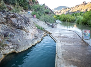
3.32.46 mi / 118 ft gainThe pools at the Verde Hot springs are the remnants from an old resort built in the 1920's. The resort was a once thriving tourist attraction and also rumored to be one of Al Capone's hideouts. In the 1960's a fire destroyed the resort only leaving behind the foundation and the thermal pools al...Read more -
Goodyear, Arizona
Hike Estrella Mountain's Baseline Trail
4.02.4 mi / 259 ft gainBaseline Trail is a 2.4 mile moderately trafficked loop trail. This trail features lovely wild flowers and is rated as intermediate. You can use this trail not just for hiking but you can also use the trail for running as well as mountain biking. On the trail you are allowed to bring your furry f...Read more -
Apache Junction, Arizona
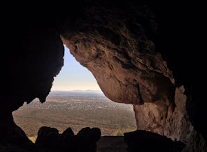
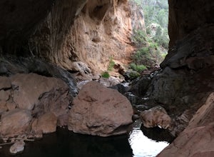
Monument Canyon and Broadway Cave
3.63.69 mi / 866 ft gain...Who doesn't enjoy a short adventure to an scenic location?! If I were to guess, I'd say a good majority of us. This four mile, low trafficked hike to the Broadway Cave will lead you to one of the best spots to hang out or watch the sunset. The Broadway trailhead is located by taking Highway 60...Read more -
Buckeye, Arizona
Hike Valley Vista from Turnbuckle Trail
5.02 miThe Valley Vista trail is a short hike in Skyline Regional Park, located in the southern region of the White Tank Mountains west of Phoenix. From the top you'll have a great view of the Estrella Mountain Range and the southwest valley. For the most direct route, take the Turnbuckle trail. This...Read more -
Gold Canyon, Arizona
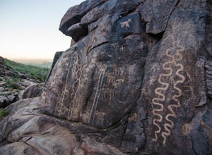
Hieroglyphic Trail
5.02.9 mi / 614 ft gainThis hike is a great beginner hike for those who want to experience the beauty of the Superstitions. I suggest going early in the morning because this trail gets very crowded later in the day (especially on weekends). To get to the trailhead from US60, turn north onto Kings Ranch Road where you ...Read more -
Gold Canyon, Arizona
Peak 5057 via Hieroglyphic Trail
5.07.45 mi / 3045 ft gainTo get to the trailhead from US60, turn north onto Kings Ranch Road where you will begin the winding path through the neighborhoods. From Kings Ranch Road, turn east on Baseline Ave, north on Mohican Road, west on Valley View Drive, north on Whitetail Road, and east on Cloudview Ave until it com...Read more -
Pine, Arizona
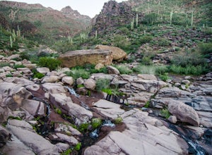
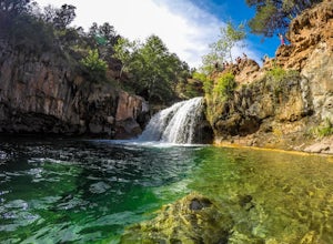
Fossil Creek Falls
4.82.42 mi / 328 ft gainThe journey is definitely worth it! Don't let the description discourage you from visiting here. This is simply to help you be prepared so that you can enjoy this wonderful place as safely as possible! Fossil Creek Rd can only be accessed from Camp Verde via FH 9 (Hwy 260) and FR 708 due to road...Read more -
Pine, Arizona
Hike the Pine Creek Loop in Tonto Natural Bridge SP
4.71.8 mi / 300 ft gainThere is a fee to enter this area. It was $7 when we went. There are 4 trails with many viewpoints from the parking lot, all of which are out and back. We followed the recommendation of the ranger working at the visitor's center and took the Gowan Trail down to the observation deck located in the...Read more -
Gold Canyon, Arizona
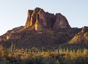
Catch a Sunset at Three Sisters
5.0Three Sisters is a huge rock formation in the southern area of the Superstition Mountains. This spot is only about an hour outside of Phoenix and it's a great spot to do photography in the evening or morning.This is accessed from the Wave Cave parking lot on the way to the nearby Peralta Trailhe...Read more -
Gold Canyon, Arizona
Fremont Saddle via Peralta Canyon Trail
4.74.53 mi / 1378 ft gainAfter taking Peralta Road all the way to the end, park your car in the parking lot and you'll see the sign for the trail head. Sign in at the register and then begin our hike on Peralta Trail. This trail winds through the canyon and then takes you up switch backs until you reach the saddle. The ...Read more

