Steele, Alabama
Looking for the best chillin in Steele? We've got you covered with the top trails, trips, hiking, backpacking, camping and more around Steele. The detailed guides, photos, and reviews are all submitted by the Outbound community.
Top Chillin Spots in and near Steele
-
Steele, Alabama
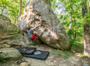
Bouldering Horse Pens 40
4.01 miHorse Pens 40 is a very well known place for bouldering throughout Alabama. The parking and location arepretty well-marked with signs as you get closer to arriving. Once you arrive and park at Horse Pens, you need to go inside the store to fill out a waiver and pay $6.50 to climb. The bouldering ...Read more -
Oneonta, Alabama
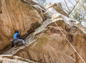
Climb at Palisades Park
Palisades Park is a great place for beginners and advanced climbers. Following the pin, the crag is easily accessible from the parking lot. A short walk from the parking lot leads you straight to the cliff edge where you will find 60-70 foot cliffs to rappel/climb. Palisades requires you have a p...Read more -
Oneonta, Alabama
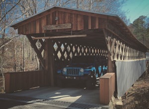
Drive the Covered Bridge Trail in Blount County
5.0I'll be honest, I've gotten a little caught up (obsessed) in the Overland hype the past few weeks and wanted to get out and explore. I didn't want to start off with anything crazy knowing the kids would lose interest pretty quickly. I sat at my desk and did some research and I'm glad that I did. ...Read more -
Chief Ladiga Trail, Alabama
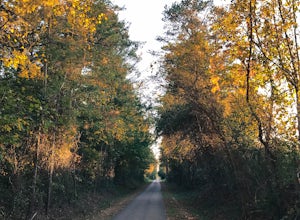
Run the Chief Ladiga Trail
33 miAt 33 miles long, the Chief Ladiga Trail is a popular destination for walkers, runners, and cyclists alike. Formerly a railroad track, the trail is now paved and mostly flat. The Ladiga trail runs through the cities of Anniston, Weaver, Jacksonville, Piedmont, and eventually connects to Georgia’s...Read more -
Leesburg, Alabama
Camp at Sand Rock
5.01 mi / -100 ft gainWe camped in a rooftop tent, but many people used traditional tents and hammocks. After purchasing a camping permit, drive right up to your campsite. There are three general camping areas.First is the more exposed (to the often strong winds) campsites along the tops of the cliffs that are closest...Read more -
Guntersville, Alabama
Kayaking at Lake Guntersville State Park
Lake Guntersville State Park is a publicly owned recreation area located on the far north side of the city of Guntersville in Marshall County, Alabama. The state park occupies 5,909 acres on the eastern shore of Guntersville Lake, a 69,000-acre impoundment of the Tennessee River. Lake Guntersvill...Read more -
Grove Oak, Alabama
Cliff Jump at High Falls Park
4.9This park is fairly small and definitely off the beaten path on Alabama's back roads, so be sure to pay attention to which streets you're on.From Birmingham or Chattanooga, take Interstate 59 to Exit 218 in Fort Payne. Take Highway 35 West to Rainsville, then turn left onto Highway 75. Follow Hig...Read more -
Delta, Alabama
Take in the View from Bald Rock in Cheaha State Park
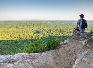
3.51 mi / 1 ft gainBald Rock is maybe the most easily accessible views I have ever experienced. This is not to lessen the beauty of the location, but to convey that this spot is quite fool-proof, and can be enjoyed by literally anyone. However, I do recommend this view at sunrise during the summer because of how cr...Read more -
Birmingham, Alabama
Hike to Ruffner Mountain's Hawk's View Overlook
4.82 mi / 200 ft gainPark at the little league baseball fields that are across the road from the access point where the trail meets the road on the southeastern corner of the preserve that you can see on the map. Hike up a gentle incline NW on the Ridge and Valley Trail for about fifteen minutes to the trail intersec...Read more -
Woodville, Alabama
Visit the Cathedral Caverns
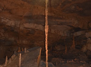
2.9 mi / 50 ft gainCathedral Caverns - The Pride of Alabama -- Located in northeastern Alabama, Cathedral Caverns offers an easy look inside an underground system of caverns. The primary trail is well-developed and wheel-chair accessible for most of its 2.9 mile length. The Caverns features many impressive sights. ...Read more -
Fort Payne, Alabama
Swim at Little Falls (Martha's Falls)
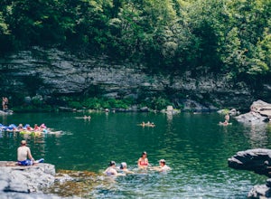
4.41.5 miLittle Falls, also referred to as Martha Falls and the “Hippie Hole” by the locals, is a popular swimming hole a part of Little River Canyon National Preserve, located along the state line of Alabama and Georgia. Perks include free parking and free admission. Drive up Lookout Mountain and pull i...Read more -
Birmingham, Alabama
Kayak the Cahaba River
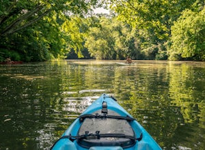
3.0There are several places you can drop your kayak in. This is one of the more accessible spots. Another popular spot for dropping in your kayak is located on Grants Mill Road. If coming from I459, it will be on your left shortly after passing Church of the Highlands. We opted to drop our kayaks in...Read more -
Birmingham, Alabama
King's Chair Overlook
4.63.61 mi / 600 ft gainThe pin leads you to the parking lot of Oak Mountain State Park. To get into Oak Mountain State Park there is a $5 fee. From the parking lot, the trail head is easily visible and right across the road. The trails split in a couple of different directions at the trail head, but to go to the King's...Read more

